Property Record
20490 E 550Th St, Colona, IL 61241


Property Detail
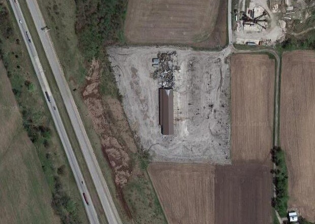
20490 E 550Th St
Davenport-Moline-Rock Island, IA-IL
10A NE SW E OF I 80 SEC 24 T17N R1E
06-24-300-004
HENRY
Commercialnec
Illinois
B and X Area of moderate flood hazard, usually the area between the limits of the 100-year and 500-year floods.
10 AC
2024
Henry County
2024
Davenport/Moline/Rock Island
030100
NEARBY LISTINGS FOR SALE OR LEASE
-
-
View all Colona listings for sale on LoopNet.com
DEMOGRAPHICS near 20490 E 550Th St
1 mile
3 mile
5 mile
2025 Total Population
305
5,326
9,880
2030 Population
300
5,218
9,702
Pop Growth 2025-2030
(1.64%)
(2.03%)
(1.80%)
Average Age
40
42
42
2025 Total Households
113
2,150
4,022
HH Growth 2025-2030
(0.88%)
(2.05%)
(1.82%)
Median Household Inc
$77,941
$82,493
$81,585
Avg Household Size
2.70
2.50
2.40
2025 Avg HH Vehicles
2.00
2.00
2.00
Median Home Value
$265,384
$174,219
$188,551
Median Year Built
2002
1969
1972
Nearby Places
Map Layers
Map Styles
 Street
 Aerial
Layers
 Traffic
 Biking
Places
Listings with unknown addresses are not visible on the map
- Restaurants
- Banks
- Shops
- Fitness
- Groceries
PUBLIC TRANSPORTATION
AIRPORT
Quad Cities International
Drive
Walk
Distance
Quad Cities International
19 min
9.8 mi
Freight Ports
Port Milwaukee
Drive
Walk
Distance
Port Milwaukee
227 min
201.2 mi
Nearby Properties
Address
Land Use
TOTAL SIZE
Lot Size
Zoning
Address
Land Use
TOTAL SIZE
Lot Size
Zoning
Address
Land Use
TOTAL SIZE
Lot Size
Zoning
3,430 SF
1.87 AC
Address
Land Use
TOTAL SIZE
Lot Size
Zoning
6,885 SF
6.95 AC
Address
Land Use
TOTAL SIZE
Lot Size
Zoning
12,800 SF
2.05 AC
Address
Land Use
TOTAL SIZE
Lot Size
Zoning
9,230 SF
0.78 AC
Address
Land Use
TOTAL SIZE
Lot Size
Zoning
12,304 SF
2 AC
Address
Land Use
TOTAL SIZE
Lot Size
Zoning
18,148 SF
1.57 AC
Address
Land Use
TOTAL SIZE
Lot Size
Zoning
5.01 AC
Address
Land Use
TOTAL SIZE
Lot Size
Zoning
9,600 SF
3.90 AC
Address
Land Use
TOTAL SIZE
Lot Size
Zoning
23.77 AC
Address
Land Use
TOTAL SIZE
Lot Size
Zoning
1.64 AC
Address
Land Use
TOTAL SIZE
Lot Size
Zoning
Address
Land Use
TOTAL SIZE
Lot Size
Zoning
0.86 AC
Address
Land Use
TOTAL SIZE
Lot Size
Zoning
0.92 AC
Address
Land Use
TOTAL SIZE
Lot Size
Zoning
3,168 SF
1.72 AC
Address
Land Use
TOTAL SIZE
Lot Size
Zoning
3,240 SF
1.09 AC
Address
Land Use
TOTAL SIZE
Lot Size
Zoning
3,006 SF
151.73 AC
Address
Land Use
TOTAL SIZE
Lot Size
Zoning
0.59 AC
Address
Land Use
TOTAL SIZE
Lot Size
Zoning
0.43 AC
Address
Land Use
TOTAL SIZE
Lot Size
Zoning
0.68 AC
Address
Land Use
TOTAL SIZE
Lot Size
Zoning
4,288 SF
0.50 AC
Address
Land Use
TOTAL SIZE
Lot Size
Zoning
4.90 AC
Address
Land Use
TOTAL SIZE
Lot Size
Zoning
Address
Land Use
TOTAL SIZE
Lot Size
Zoning
Address
Land Use
TOTAL SIZE
Lot Size
Zoning
2,160 SF
161.61 AC
Address
Land Use
TOTAL SIZE
Lot Size
Zoning
Address
Land Use
TOTAL SIZE
Lot Size
Zoning
0.39 AC
Address
Land Use
TOTAL SIZE
Lot Size
Zoning
122.80 AC
Address
Land Use
TOTAL SIZE
Lot Size
Zoning
0.46 AC
The World's #1 Commercial Real Estate Marketplace
Connect with us
© 2026 CoStar Group
The information above has been obtained from sources believed reliable. While we do not doubt its accuracy we have not verified it and make no guarantee, warranty or representation about it. It is your responsibility to independently confirm its accuracy and completeness. Any projections, opinions, assumptions, or estimates used are for example only and do not represent the current or future performance of the property. The value of this transaction to you depends on tax and other factors which should be evaluated by your tax, financial, and legal advisors. You and your advisors should conduct a careful, independent investigation of the property to determine to your satisfaction the suitability of the property for your needs.