Property Record
205 Highway 35 W, Gregory, TX 78359


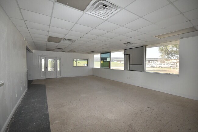
Property Detail
205 Highway 35 W
Corpus Christi, TX
MACAZE PARK BLK 1 LOT 7, 8
55823
SAN PATRICIO
Commercialnec
Texas
AH Areas with a 1% annual chance of shallow flooding, usually in the form of a pond, withan average depth ranging from 1 to 3 feet. These areas have a 26% chance of flooding over the life of a 30-year mortgage.
7,8
2024
0.23 AC
2025
Portland/Ingleside
010500
Corpus Christi
1,800 SF
NEARBY LISTINGS FOR SALE OR LEASE
DEMOGRAPHICS near 205 Highway 35 W
1 mile
3 mile
5 mile
2025 Total Population
1,889
15,868
22,248
2030 Population
1,860
16,133
22,654
Pop Growth 2025-2030
(1.54%)
+ 1.67%
+ 1.82%
Average Age
38
38
37
2025 Total Households
631
5,620
7,951
HH Growth 2025-2030
(1.74%)
+ 1.57%
+ 1.72%
Median Household Inc
$42,071
$72,427
$70,178
Avg Household Size
3.00
2.80
2.70
2025 Avg HH Vehicles
2.00
2.00
2.00
Median Home Value
$132,743
$236,714
$234,081
Median Year Built
1975
1985
1983
Nearby Places
Map Layers
Map Styles
 Street
 Aerial
Transit
 Traffic
 Biking
Places
Listings with unknown addresses are not visible on the map
- Restaurants
- Banks
- Shops
- Fitness
- Groceries
PUBLIC TRANSPORTATION
AIRPORT
Corpus Christi International
Drive
Walk
Distance
Corpus Christi International
26 min
19.4 mi
Freight Ports
Port of Corpus Christi
Drive
Walk
Distance
Port of Corpus Christi
14 min
11.4 mi
SALE & LEASE HISTORY
LISTING DATE
SALE/LEASE

May 10, 2022
For Sale
Nearby Properties
Address
Land Use
TOTAL SIZE
Lot Size
Zoning
Address
Land Use
TOTAL SIZE
Lot Size
Zoning
1,350.54 AC
Address
Land Use
TOTAL SIZE
Lot Size
Zoning
267,872 SF
13.26 AC
Address
Land Use
TOTAL SIZE
Lot Size
Zoning
127,781 SF
10.93 AC
Address
Land Use
TOTAL SIZE
Lot Size
Zoning
216,743 SF
12.61 AC
Address
Land Use
TOTAL SIZE
Lot Size
Zoning
188,035 SF
6.18 AC
Address
Land Use
TOTAL SIZE
Lot Size
Zoning
160,529 SF
13.03 AC
Address
Land Use
TOTAL SIZE
Lot Size
Zoning
123,979 SF
28.21 AC
Address
Land Use
TOTAL SIZE
Lot Size
Zoning
Address
Land Use
TOTAL SIZE
Lot Size
Zoning
142,300 SF
14.34 AC
Address
Land Use
TOTAL SIZE
Lot Size
Zoning
374.10 AC
Address
Land Use
TOTAL SIZE
Lot Size
Zoning
230.65 AC
Address
Land Use
TOTAL SIZE
Lot Size
Zoning
147,834 SF
11.09 AC
Address
Land Use
TOTAL SIZE
Lot Size
Zoning
1 SF
52.48 AC
Address
Land Use
TOTAL SIZE
Lot Size
Zoning
164.20 AC
Address
Land Use
TOTAL SIZE
Lot Size
Zoning
151,799 SF
18.93 AC
Address
Land Use
TOTAL SIZE
Lot Size
Zoning
63,524 SF
2.30 AC
Address
Land Use
TOTAL SIZE
Lot Size
Zoning
140.93 AC
Address
Land Use
TOTAL SIZE
Lot Size
Zoning
132.06 AC
Address
Land Use
TOTAL SIZE
Lot Size
Zoning
90,518 SF
4.30 AC
Address
Land Use
TOTAL SIZE
Lot Size
Zoning
35.24 AC
Address
Land Use
TOTAL SIZE
Lot Size
Zoning
37,211 SF
2.26 AC
Address
Land Use
TOTAL SIZE
Lot Size
Zoning
59,159 SF
4.49 AC
Address
Land Use
TOTAL SIZE
Lot Size
Zoning
13,948 SF
2.05 AC
Address
Land Use
TOTAL SIZE
Lot Size
Zoning
21,216 SF
6 AC
Address
Land Use
TOTAL SIZE
Lot Size
Zoning
47,648 SF
1.89 AC
Address
Land Use
TOTAL SIZE
Lot Size
Zoning
48,620 SF
9.64 AC
Address
Land Use
TOTAL SIZE
Lot Size
Zoning
195.14 AC
Address
Land Use
TOTAL SIZE
Lot Size
Zoning
17,324 SF
1.85 AC
Address
Land Use
TOTAL SIZE
Lot Size
Zoning
37,800 SF
6.23 AC
Address
Land Use
TOTAL SIZE
Lot Size
Zoning
83.69 AC
The World's #1 Commercial Real Estate Marketplace
Connect with us
© 2026 CoStar Group
The information above has been obtained from sources believed reliable. While we do not doubt its accuracy we have not verified it and make no guarantee, warranty or representation about it. It is your responsibility to independently confirm its accuracy and completeness. Any projections, opinions, assumptions, or estimates used are for example only and do not represent the current or future performance of the property. The value of this transaction to you depends on tax and other factors which should be evaluated by your tax, financial, and legal advisors. You and your advisors should conduct a careful, independent investigation of the property to determine to your satisfaction the suitability of the property for your needs.