Property Record
205 Main St, Sugar Grove, IL 60554


Save to a Folder
{{folder.Name}}
{{folder.ListingIds.length}} Properties
{{folder.ListingIds.length}} Property
Create a New Folder
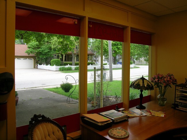
Property Detail
205 Main St
Chicago-Naperville-Elgin, IL-IN
THE W 1/2 OF LT 1 IN BLK 4 OF THE VILLAGE OF SUGAR GROVE
14-21-182-018
Kane
Commercialnec
Illinois
B and X Area of moderate flood hazard, usually the area between the limits of the 100-year and 500-year floods.
1
2025
0.13 AC
2025
Western East/West Corr
854509
Chicago
1,090 SF
NEARBY LISTINGS FOR SALE OR LEASE
-
-
View all Sugar Grove listings for sale on LoopNet.com
DEMOGRAPHICS near 205 Main St
1 mile
3 mile
5 mile
2025 Total Population
3,121
15,254
57,435
2030 Population
3,227
15,621
59,188
Pop Growth 2025-2030
+ 3.40%
+ 2.41%
+ 3.05%
Average Age
41
42
39
2025 Total Households
1,146
5,436
19,860
HH Growth 2025-2030
+ 3.40%
+ 2.48%
+ 2.88%
Median Household Inc
$107,174
$118,361
$102,180
Avg Household Size
2.70
2.80
2.90
2025 Avg HH Vehicles
2.00
2.00
2.00
Median Home Value
$368,019
$378,263
$320,276
Median Year Built
1990
2001
1999
Nearby Places
Map Layers
Map Styles
 Street
 Aerial
Layers
 Traffic
 Biking
Places
Listings with unknown addresses are not visible on the map
- Restaurants
- Banks
- Shops
- Fitness
- Groceries
PUBLIC TRANSPORTATION
COMMUTER RAIL
La Fox Station (Union Pacific West Line - Northeast Illinois Regional Commuter Railroad (Metra))
Drive
Walk
Distance
La Fox Station (Union Pacific West Line - Northeast Illinois Regional Commuter Railroad (Metra))
14 min
9.5 mi
Freight Ports
Port of Baltimore
Drive
Walk
Distance
Port of Baltimore
1 min
645.2 mi
SALE & LEASE HISTORY
LISTING DATE
SALE/LEASE

Sep 23, 2016
For Sale
Jun 12, 2017
For Sale
Feb 20, 2018
For Sale
Nearby Properties
Address
Land Use
TOTAL SIZE
Lot Size
Zoning
Address
Land Use
TOTAL SIZE
Lot Size
Zoning
Address
Land Use
TOTAL SIZE
Lot Size
Zoning
1.14 AC
Address
Land Use
TOTAL SIZE
Lot Size
Zoning
Address
Land Use
TOTAL SIZE
Lot Size
Zoning
36,200 SF
5.84 AC
Address
Land Use
TOTAL SIZE
Lot Size
Zoning
Address
Land Use
TOTAL SIZE
Lot Size
Zoning
Address
Land Use
TOTAL SIZE
Lot Size
Zoning
1,200 SF
1 AC
Address
Land Use
TOTAL SIZE
Lot Size
Zoning
46,284 SF
4.84 AC
Address
Land Use
TOTAL SIZE
Lot Size
Zoning
45,000 SF
3.04 AC
Address
Land Use
TOTAL SIZE
Lot Size
Zoning
Address
Land Use
TOTAL SIZE
Lot Size
Zoning
91,579 SF
22.83 AC
Address
Land Use
TOTAL SIZE
Lot Size
Zoning
Address
Land Use
TOTAL SIZE
Lot Size
Zoning
Address
Land Use
TOTAL SIZE
Lot Size
Zoning
40,000 SF
2.92 AC
Address
Land Use
TOTAL SIZE
Lot Size
Zoning
1,128 SF
1.78 AC
Address
Land Use
TOTAL SIZE
Lot Size
Zoning
39,543 SF
1 AC
Address
Land Use
TOTAL SIZE
Lot Size
Zoning
44,000 SF
0.80 AC
Address
Land Use
TOTAL SIZE
Lot Size
Zoning
Address
Land Use
TOTAL SIZE
Lot Size
Zoning
Address
Land Use
TOTAL SIZE
Lot Size
Zoning
30,108 SF
2 AC
Address
Land Use
TOTAL SIZE
Lot Size
Zoning
15,964 SF
2 AC
Address
Land Use
TOTAL SIZE
Lot Size
Zoning
36.35 AC
Address
Land Use
TOTAL SIZE
Lot Size
Zoning
20,000 SF
2 AC
Address
Land Use
TOTAL SIZE
Lot Size
Zoning
42,850 SF
2.02 AC
Address
Land Use
TOTAL SIZE
Lot Size
Zoning
24,375 SF
1.95 AC
Address
Land Use
TOTAL SIZE
Lot Size
Zoning
Address
Land Use
TOTAL SIZE
Lot Size
Zoning
1.23 AC
Address
Land Use
TOTAL SIZE
Lot Size
Zoning
24,375 SF
1.86 AC
Address
Land Use
TOTAL SIZE
Lot Size
Zoning
5,874 SF
75.14 AC
Address
Land Use
TOTAL SIZE
Lot Size
Zoning
14,592 SF
The World's #1 Commercial Real Estate Marketplace
Connect with us
© 2026 CoStar Group
The information above has been obtained from sources believed reliable. While we do not doubt its accuracy we have not verified it and make no guarantee, warranty or representation about it. It is your responsibility to independently confirm its accuracy and completeness. Any projections, opinions, assumptions, or estimates used are for example only and do not represent the current or future performance of the property. The value of this transaction to you depends on tax and other factors which should be evaluated by your tax, financial, and legal advisors. You and your advisors should conduct a careful, independent investigation of the property to determine to your satisfaction the suitability of the property for your needs.