Property Record
205 Philema Rd, Albany, GA 31701


NEARBY LISTINGS FOR SALE OR LEASE
-
-
View all Albany listings for sale on LoopNet.com
Property Detail
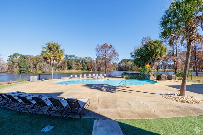
205 Philema Rd
Albany, GA
Telfair Ave Area
00137-00001-19D
TRCT 1 OF LOT 8 LAKE WORTH S/D
Apartment
Dougherty
AE
Georgia
13095C0107E
8
2024
7.20 AC
2024
Albany/Southwest
011300
Other Market Areas
24,219 SF
DEMOGRAPHICS near 205 Philema Rd
1 Mile
3 Mile
5 Mile
2024 Total Population
1,038
29,546
70,971
2029 Population
1,012
28,968
69,266
Pop Growth 2024-2029
(2.50%)
(1.96%)
(2.40%)
Average Age
44
38
38
2024 Total Households
484
12,525
29,094
HH Growth 2024-2029
(2.48%)
(2.16%)
(2.66%)
Median Household Inc
$65,833
$45,516
$43,651
Avg Household Size
2.00
2.30
2.30
2024 Avg HH Vehicles
2.00
1.00
1.00
Median Home Value
$216,055
$130,952
$126,661
Median Year Built
1993
1973
1975
Nearby Places
Map Layers
Map Styles
 Street
 Aerial
- Restaurants
- Banks
- Shops
- Fitness
- Groceries
PUBLIC TRANSPORTATION
AIRPORT
Southwest Georgia Regional
DRIVE
WALK
Distance
Southwest Georgia Regional
17 min
7.2 mi
Freight Ports
Port of Panama City
DRIVE
WALK
Distance
Port of Panama City
236 min
161.4 mi
Nearby Properties
Address
Land Use
TOTAL SIZE
Lot Size
Zoning
Address
Land Use
TOTAL SIZE
Lot Size
Zoning
Address
Land Use
TOTAL SIZE
Lot Size
Zoning
58.86 AC
C3
Address
Land Use
TOTAL SIZE
Lot Size
Zoning
51,008 SF
19.48 AC
C5
Address
Land Use
TOTAL SIZE
Lot Size
Zoning
274,484 SF
16.31 AC
C5
Address
Land Use
TOTAL SIZE
Lot Size
Zoning
1.77 AC
C2
Address
Land Use
TOTAL SIZE
Lot Size
Zoning
15.20 AC
C2
Address
Land Use
TOTAL SIZE
Lot Size
Zoning
250.69 AC
C5
Address
Land Use
TOTAL SIZE
Lot Size
Zoning
2.53 AC
C2
Address
Land Use
TOTAL SIZE
Lot Size
Zoning
1.75 AC
C2
Address
Land Use
TOTAL SIZE
Lot Size
Zoning
0.83 AC
C2
Address
Land Use
TOTAL SIZE
Lot Size
Zoning
1,752 SF
13.25 AC
RESIDENTIA
Address
Land Use
TOTAL SIZE
Lot Size
Zoning
77,688 SF
2.93 AC
C3
Address
Land Use
TOTAL SIZE
Lot Size
Zoning
70,596 SF
2.38 AC
C2
Address
Land Use
TOTAL SIZE
Lot Size
Zoning
0.54 AC
C2
Address
Land Use
TOTAL SIZE
Lot Size
Zoning
21,144 SF
11.79 AC
R6
Address
Land Use
TOTAL SIZE
Lot Size
Zoning
9,216 SF
14.31 AC
COMMERCIAL
Address
Land Use
TOTAL SIZE
Lot Size
Zoning
8 AC
M1
Address
Land Use
TOTAL SIZE
Lot Size
Zoning
0.52 AC
C2
Address
Land Use
TOTAL SIZE
Lot Size
Zoning
98,560 SF
19.64 AC
R6
Address
Land Use
TOTAL SIZE
Lot Size
Zoning
82,944 SF
8.10 AC
R6
Address
Land Use
TOTAL SIZE
Lot Size
Zoning
25,777 SF
9.30 AC
C3
Address
Land Use
TOTAL SIZE
Lot Size
Zoning
28,713 SF
9.96 AC
C3
Address
Land Use
TOTAL SIZE
Lot Size
Zoning
66,382 SF
14.64 AC
COMMERCIAL
Address
Land Use
TOTAL SIZE
Lot Size
Zoning
10,608 SF
45.66 AC
M1
Address
Land Use
TOTAL SIZE
Lot Size
Zoning
127,194 SF
15.01 AC
C2
Address
Land Use
TOTAL SIZE
Lot Size
Zoning
89,370 SF
7.78 AC
Address
Land Use
TOTAL SIZE
Lot Size
Zoning
1.54 AC
C3
Address
Land Use
TOTAL SIZE
Lot Size
Zoning
15,668 SF
5.70 AC
R6
Address
Land Use
TOTAL SIZE
Lot Size
Zoning
2,124 SF
15.02 AC
FP
Address
Land Use
TOTAL SIZE
Lot Size
Zoning
6,952 SF
0.83 AC
R6
The World's #1 Commercial Real Estate Marketplace
Connect with us
© 2025 CoStar Group
The information above has been obtained from sources believed reliable. While we do not doubt its accuracy we have not verified it and make no guarantee, warranty or representation about it. It is your responsibility to independently confirm its accuracy and completeness. Any projections, opinions, assumptions, or estimates used are for example only and do not represent the current or future performance of the property. The value of this transaction to you depends on tax and other factors which should be evaluated by your tax, financial, and legal advisors. You and your advisors should conduct a careful, independent investigation of the property to determine to your satisfaction the suitability of the property for your needs.