Property Record
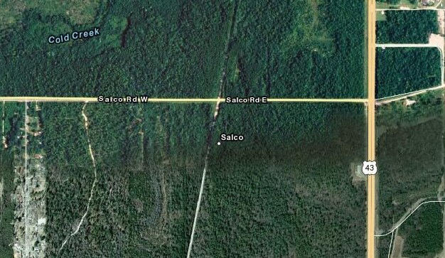
205 Salco Rd E, Axis, AL 36505

Property Detail
205 Salco Rd E
12-06-13-0-000-003.01
COMG AT NW COR SECT 13 T1S R1W THEN S 00 DEG 03 MIN E ALG W/L OF SAID SEC 13 DIS 39.6 FT TO PT ON S/L OF SALCO RD TH N 89 DEG
Vacantlandnec
MOBILE
B and X Area of moderate flood hazard, usually the area between the limits of the 100-year and 500-year floods.
Alabama
2025
34.51 AC
2025
Outlying Mobile County
005800
Mobile
1,500 SF
Mobile, AL
NEARBY LISTINGS FOR SALE OR LEASE
DEMOGRAPHICS near 205 Salco Rd E
1 mile
3 mile
5 mile
2025 Total Population
232
862
2,504
2030 Population
237
866
2,494
Pop Growth 2025-2030
+ 2.16%
+ 0.46%
(0.40%)
Average Age
41
42
42
2025 Total Households
94
343
1,012
HH Growth 2025-2030
+ 2.13%
+ 0.58%
(0.40%)
Median Household Inc
$59,999
$78,348
$81,399
Avg Household Size
2.50
2.50
2.40
2025 Avg HH Vehicles
2.00
2.00
2.00
Median Home Value
$194,230
$189,545
$186,969
Median Year Built
1986
1990
1987
Nearby Places
Map Layers
Map Styles
 Street
 Aerial
Transit
 Traffic
 Biking
Places
Listings with unknown addresses are not visible on the map
- Restaurants
- Banks
- Shops
- Fitness
- Groceries
PUBLIC TRANSPORTATION
AIRPORT
Mobile International
Drive
Walk
Distance
Mobile International
36 min
27.3 mi
Mobile Regional
Drive
Walk
Distance
Mobile Regional
45 min
29.9 mi
Freight Ports
Port of Mobile
Drive
Walk
Distance
Port of Mobile
27 min
22.2 mi
Nearby Properties
Address
Land Use
TOTAL SIZE
Lot Size
Zoning
Address
Land Use
TOTAL SIZE
Lot Size
Zoning
416,593 SF
498 AC
Address
Land Use
TOTAL SIZE
Lot Size
Zoning
101,425 SF
498.04 AC
Address
Land Use
TOTAL SIZE
Lot Size
Zoning
28,026 SF
71.83 AC
Address
Land Use
TOTAL SIZE
Lot Size
Zoning
30,870 SF
219.28 AC
Address
Land Use
TOTAL SIZE
Lot Size
Zoning
190,475 SF
63.35 AC
Address
Land Use
TOTAL SIZE
Lot Size
Zoning
36,012 SF
9.33 AC
Address
Land Use
TOTAL SIZE
Lot Size
Zoning
18,408 SF
21.38 AC
Address
Land Use
TOTAL SIZE
Lot Size
Zoning
100,000 SF
109.98 AC
Address
Land Use
TOTAL SIZE
Lot Size
Zoning
6,000 SF
4.66 AC
Address
Land Use
TOTAL SIZE
Lot Size
Zoning
14,940 SF
Address
Land Use
TOTAL SIZE
Lot Size
Zoning
3,372 SF
219.34 AC
Address
Land Use
TOTAL SIZE
Lot Size
Zoning
74.78 AC
Address
Land Use
TOTAL SIZE
Lot Size
Zoning
73.50 AC
Address
Land Use
TOTAL SIZE
Lot Size
Zoning
19,250 SF
220 AC
Address
Land Use
TOTAL SIZE
Lot Size
Zoning
67.10 AC
Address
Land Use
TOTAL SIZE
Lot Size
Zoning
15,240 SF
8.07 AC
Address
Land Use
TOTAL SIZE
Lot Size
Zoning
48.03 AC
Address
Land Use
TOTAL SIZE
Lot Size
Zoning
15,290 SF
498.04 AC
Address
Land Use
TOTAL SIZE
Lot Size
Zoning
4,752 SF
46.41 AC
Address
Land Use
TOTAL SIZE
Lot Size
Zoning
18,580 SF
51.77 AC
Address
Land Use
TOTAL SIZE
Lot Size
Zoning
28,050 SF
Address
Land Use
TOTAL SIZE
Lot Size
Zoning
35.57 AC
Address
Land Use
TOTAL SIZE
Lot Size
Zoning
8,024 SF
3.45 AC
Address
Land Use
TOTAL SIZE
Lot Size
Zoning
413 AC
Address
Land Use
TOTAL SIZE
Lot Size
Zoning
63.01 AC
The World's #1 Commercial Real Estate Marketplace
Connect with us
© 2026 CoStar Group
The information above has been obtained from sources believed reliable. While we do not doubt its accuracy we have not verified it and make no guarantee, warranty or representation about it. It is your responsibility to independently confirm its accuracy and completeness. Any projections, opinions, assumptions, or estimates used are for example only and do not represent the current or future performance of the property. The value of this transaction to you depends on tax and other factors which should be evaluated by your tax, financial, and legal advisors. You and your advisors should conduct a careful, independent investigation of the property to determine to your satisfaction the suitability of the property for your needs.