Property Record
2050 S 35Th Ave, Phoenix, AZ 85009


Property Detail
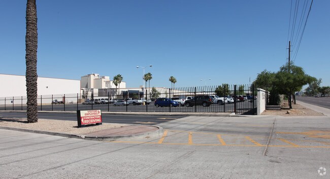
2050 S 35Th Ave
105-15-004H
PT NE4 SE4 BEG NE COR TH S 100 TO TR POB TH W 283 TH N 82.64 TH W 1000.64 TO E LN OF S P RAILROAD TH S 806.92 TH E 1282.48 TO E LN OF SEC TH N 732F TO POB EX E 40F RD
Industrialgeneral
Maricopa
I-1
Arizona
A Areas with a 1% annual chance of flooding and a 26% chance of flooding over the life of a 30-year mortgage.
22.78 AC
2025
SW S of Buckeye Road
2025
Phoenix
112514
Phoenix-Mesa-Chandler, AZ
241,905 SF
NEARBY LISTINGS FOR SALE OR LEASE
DEMOGRAPHICS near 2050 S 35Th Ave
1 mile
3 mile
5 mile
2025 Total Population
3,981
69,918
306,301
2030 Population
4,101
72,831
319,131
Pop Growth 2025-2030
+ 3.01%
+ 4.17%
+ 4.19%
Average Age
35
34
34
2025 Total Households
949
19,616
95,026
HH Growth 2025-2030
+ 2.74%
+ 4.15%
+ 4.55%
Median Household Inc
$41,389
$57,102
$65,719
Avg Household Size
3.40
3.40
3.10
2025 Avg HH Vehicles
2.00
2.00
2.00
Median Home Value
$242,857
$287,832
$361,218
Median Year Built
1963
1976
1982
Nearby Places
Map Layers
Map Styles
 Street
 Aerial
Layers
 Traffic
 Biking
Places
Listings with unknown addresses are not visible on the map
- Restaurants
- Banks
- Shops
- Fitness
- Groceries
PUBLIC TRANSPORTATION
AIRPORT
Phoenix Sky Harbor International
Drive
Walk
Distance
Phoenix Sky Harbor International
18 min
9.0 mi
Phoenix-Mesa Gateway
Drive
Walk
Distance
Phoenix-Mesa Gateway
49 min
34.5 mi
Freight Ports
Port of San Diego
Drive
Walk
Distance
Port of San Diego
395 min
353.8 mi
Nearby Properties
Address
Land Use
TOTAL SIZE
Lot Size
Zoning
Address
Land Use
TOTAL SIZE
Lot Size
Zoning
270,000 SF
12.90 AC
I-1
Address
Land Use
TOTAL SIZE
Lot Size
Zoning
68,452 SF
37.95 AC
R-35
Address
Land Use
TOTAL SIZE
Lot Size
Zoning
781,334 SF
59.96 AC
I-1
Address
Land Use
TOTAL SIZE
Lot Size
Zoning
182,984 SF
146.12 AC
I-1
Address
Land Use
TOTAL SIZE
Lot Size
Zoning
1,378,775 SF
86.09 AC
M-H
Address
Land Use
TOTAL SIZE
Lot Size
Zoning
91,000 SF
7.57 AC
I-1
Address
Land Use
TOTAL SIZE
Lot Size
Zoning
86,350 SF
25.82 AC
I-1
Address
Land Use
TOTAL SIZE
Lot Size
Zoning
33.15 AC
Address
Land Use
TOTAL SIZE
Lot Size
Zoning
20,430 SF
24.57 AC
I-1
Address
Land Use
TOTAL SIZE
Lot Size
Zoning
440,160 SF
42.43 AC
A1
Address
Land Use
TOTAL SIZE
Lot Size
Zoning
61,508 SF
23.76 AC
I-1
Address
Land Use
TOTAL SIZE
Lot Size
Zoning
47,597 SF
22.74 AC
R-43
Address
Land Use
TOTAL SIZE
Lot Size
Zoning
377,037 SF
35.46 AC
R1-6
Address
Land Use
TOTAL SIZE
Lot Size
Zoning
1,205,743 SF
59.34 AC
I-1
Address
Land Use
TOTAL SIZE
Lot Size
Zoning
554,581 SF
37.82 AC
A1
Address
Land Use
TOTAL SIZE
Lot Size
Zoning
416,837 SF
5.35 AC
C-2
Address
Land Use
TOTAL SIZE
Lot Size
Zoning
335,897 SF
2.07 AC
R-5
Address
Land Use
TOTAL SIZE
Lot Size
Zoning
550,683 SF
1.98 AC
C-C
Address
Land Use
TOTAL SIZE
Lot Size
Zoning
250,448 SF
3.59 AC
C-3
Address
Land Use
TOTAL SIZE
Lot Size
Zoning
14.16 AC
Address
Land Use
TOTAL SIZE
Lot Size
Zoning
637,878 SF
5.93 AC
R-4
Address
Land Use
TOTAL SIZE
Lot Size
Zoning
554,011 SF
26.10 AC
I-P
Address
Land Use
TOTAL SIZE
Lot Size
Zoning
489,284 SF
28.64 AC
I-1
Address
Land Use
TOTAL SIZE
Lot Size
Zoning
662,796 SF
42.11 AC
I-1
Address
Land Use
TOTAL SIZE
Lot Size
Zoning
474,532 SF
26.17 AC
I-1
Address
Land Use
TOTAL SIZE
Lot Size
Zoning
347,565 SF
21.44 AC
A1
Address
Land Use
TOTAL SIZE
Lot Size
Zoning
603,910 SF
30.70 AC
I-1
Address
Land Use
TOTAL SIZE
Lot Size
Zoning
139,085 SF
8.82 AC
I-1
Address
Land Use
TOTAL SIZE
Lot Size
Zoning
200,538 SF
2.09 AC
R-5
Address
Land Use
TOTAL SIZE
Lot Size
Zoning
874,407 SF
38.57 AC
I-P
The World's #1 Commercial Real Estate Marketplace
Connect with us
© 2026 CoStar Group
The information above has been obtained from sources believed reliable. While we do not doubt its accuracy we have not verified it and make no guarantee, warranty or representation about it. It is your responsibility to independently confirm its accuracy and completeness. Any projections, opinions, assumptions, or estimates used are for example only and do not represent the current or future performance of the property. The value of this transaction to you depends on tax and other factors which should be evaluated by your tax, financial, and legal advisors. You and your advisors should conduct a careful, independent investigation of the property to determine to your satisfaction the suitability of the property for your needs.