Property Record
20503 193Rd Ave E, Orting, WA 98360


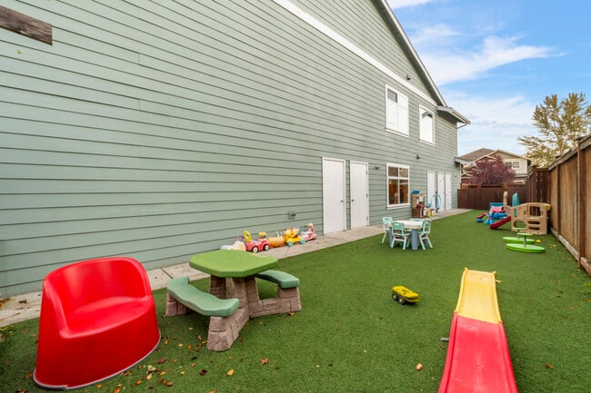
This Property Is For Sale
Property Detail
20503 193Rd Ave E
700143-1641
SECTION 04 TOWNSHIP 18 RANGE 05 QUARTER 43 PLAT BUTTES PDD DIVISION 1, THE RESIDUAL OF THE BUTTES PDD PH 4 DESC AS TR K FUTURE DEVELOPMENT OUT OF 164-0 SEG 2006-0525 JU 11/8/05JU
Miscellaneous
PIERCE
R20
Washington
B and X Area of moderate flood hazard, usually the area between the limits of the 100-year and 500-year floods.
0.58 AC
2024
E Pierce County
2025
Seattle/Puget Sound
070100
Seattle-Tacoma-Bellevue, WA
7,270 SF
NEARBY LISTINGS FOR SALE OR LEASE
DEMOGRAPHICS near 20503 193Rd Ave E
1 mile
3 mile
5 mile
2025 Total Population
1,523
9,157
42,793
2030 Population
1,537
9,203
44,117
Pop Growth 2025-2030
+ 0.92%
+ 0.50%
+ 3.09%
Average Age
36
40
38
2025 Total Households
473
3,137
14,221
HH Growth 2025-2030
+ 1.06%
+ 0.61%
+ 3.08%
Median Household Inc
$137,980
$119,674
$124,866
Avg Household Size
3.10
2.80
3.00
2025 Avg HH Vehicles
2.00
3.00
3.00
Median Home Value
$556,723
$490,039
$628,675
Median Year Built
2004
1995
2003
Nearby Places
Map Layers
Map Styles
 Street
 Aerial
Transit
 Traffic
 Biking
Places
Listings with unknown addresses are not visible on the map
- Restaurants
- Banks
- Shops
- Fitness
- Groceries
PUBLIC TRANSPORTATION
AIRPORT
Seattle-Tacoma International
Drive
Walk
Distance
Seattle-Tacoma International
54 min
32.2 mi
Freight Ports
Port of Tacoma
Drive
Walk
Distance
Port of Tacoma
37 min
21.4 mi
Nearby Properties
Address
Land Use
TOTAL SIZE
Lot Size
Zoning
Address
Land Use
TOTAL SIZE
Lot Size
Zoning
107,206 SF
41.60 AC
PUBLIC
Address
Land Use
TOTAL SIZE
Lot Size
Zoning
71,889 SF
5.83 AC
MUTC
Address
Land Use
TOTAL SIZE
Lot Size
Zoning
190,436 SF
78.95 AC
PUBLIC
Address
Land Use
TOTAL SIZE
Lot Size
Zoning
143,557 SF
19.88 AC
ARL
Address
Land Use
TOTAL SIZE
Lot Size
Zoning
11,800 SF
0.55 AC
MUTC
Address
Land Use
TOTAL SIZE
Lot Size
Zoning
40 AC
R10
Address
Land Use
TOTAL SIZE
Lot Size
Zoning
17,680 SF
0.67 AC
MUTC
Address
Land Use
TOTAL SIZE
Lot Size
Zoning
13,200 SF
1.72 AC
PUBLIC
Address
Land Use
TOTAL SIZE
Lot Size
Zoning
1 SF
INDUSTRIAL
Address
Land Use
TOTAL SIZE
Lot Size
Zoning
11,210 SF
1.23 AC
RU
Address
Land Use
TOTAL SIZE
Lot Size
Zoning
15,804 SF
2.60 AC
RU
Address
Land Use
TOTAL SIZE
Lot Size
Zoning
6,937 SF
20.25 AC
R10
Address
Land Use
TOTAL SIZE
Lot Size
Zoning
11,961 SF
28.23 AC
R20
Address
Land Use
TOTAL SIZE
Lot Size
Zoning
10,940 SF
0.62 AC
MUTC
Address
Land Use
TOTAL SIZE
Lot Size
Zoning
1 SF
2.18 AC
R20
Address
Land Use
TOTAL SIZE
Lot Size
Zoning
5,764 SF
0.61 AC
MUTC
Address
Land Use
TOTAL SIZE
Lot Size
Zoning
14,359 SF
2.15 AC
MUTC
Address
Land Use
TOTAL SIZE
Lot Size
Zoning
10,882 SF
0.73 AC
MUTC
Address
Land Use
TOTAL SIZE
Lot Size
Zoning
7,232 SF
10.09 AC
ARL
Address
Land Use
TOTAL SIZE
Lot Size
Zoning
10,976 SF
0.31 AC
MUTC
Address
Land Use
TOTAL SIZE
Lot Size
Zoning
Address
Land Use
TOTAL SIZE
Lot Size
Zoning
637.93 AC
FL
Address
Land Use
TOTAL SIZE
Lot Size
Zoning
4,100 SF
42.77 AC
ARL
Address
Land Use
TOTAL SIZE
Lot Size
Zoning
7,464 SF
0.31 AC
RU
Address
Land Use
TOTAL SIZE
Lot Size
Zoning
993 SF
9.41 AC
RF
Address
Land Use
TOTAL SIZE
Lot Size
Zoning
53,518 SF
70.75 AC
ARL
Address
Land Use
TOTAL SIZE
Lot Size
Zoning
7,910 SF
11.50 AC
R20
Address
Land Use
TOTAL SIZE
Lot Size
Zoning
9,148 SF
17.27 AC
ARL
Address
Land Use
TOTAL SIZE
Lot Size
Zoning
5,400 SF
0.21 AC
MUTC
The World's #1 Commercial Real Estate Marketplace
Connect with us
© 2026 CoStar Group
The information above has been obtained from sources believed reliable. While we do not doubt its accuracy we have not verified it and make no guarantee, warranty or representation about it. It is your responsibility to independently confirm its accuracy and completeness. Any projections, opinions, assumptions, or estimates used are for example only and do not represent the current or future performance of the property. The value of this transaction to you depends on tax and other factors which should be evaluated by your tax, financial, and legal advisors. You and your advisors should conduct a careful, independent investigation of the property to determine to your satisfaction the suitability of the property for your needs.