Property Record
20507 E Walnut Dr N, Walnut, CA 91789
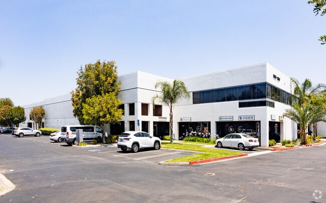
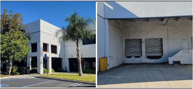

Property Detail
20507 E Walnut Dr N
Los Angeles-Long Beach-Glendale, CA
M R 42-31*FOR DESC SEE ASSESSORS MAPS POR OF LOTS 11 AND 12
8760-014-014
LOS ANGELES
Industrialacreage
California
LCM11/2*
11,12
B and X Area of moderate flood hazard, usually the area between the limits of the 100-year and 500-year floods.
5.51 AC
2024
City of Industry
2025
Los Angeles
403326
NEARBY LISTINGS FOR SALE OR LEASE
DEMOGRAPHICS near 20507 E Walnut Dr N
1 mile
3 mile
5 mile
2025 Total Population
9,312
113,128
229,658
2030 Population
9,239
112,305
227,343
Pop Growth 2025-2030
(0.78%)
(0.73%)
(1.01%)
Average Age
43
43
42
2025 Total Households
2,872
34,820
68,590
HH Growth 2025-2030
(0.97%)
(0.89%)
(1.19%)
Median Household Inc
$117,698
$103,394
$104,150
Avg Household Size
3.20
3.20
3.20
2025 Avg HH Vehicles
2.00
2.00
2.00
Median Home Value
$815,054
$841,561
$823,771
Median Year Built
1977
1977
1976
Nearby Places
Map Layers
Map Styles
 Street
 Aerial
Transit
 Traffic
 Biking
Places
Listings with unknown addresses are not visible on the map
- Restaurants
- Banks
- Shops
- Fitness
- Groceries
PUBLIC TRANSPORTATION
COMMUTER RAIL
Industry (Riverside Line - Southern California Regional Rail Authority (Metrolink))
Drive
Walk
Distance
Industry (Riverside Line - Southern California Regional Rail Authority (Metrolink))
3 min
1.1 mi
AIRPORT
Ontario International
Drive
Walk
Distance
Ontario International
23 min
18.3 mi
John Wayne/Orange County
Drive
Walk
Distance
John Wayne/Orange County
29 min
27.1 mi
Long Beach (Daugherty Field)
Drive
Walk
Distance
Long Beach (Daugherty Field)
38 min
35.7 mi
Freight Ports
Port of Long Beach
Drive
Walk
Distance
Port of Long Beach
1 min
24.9 mi
SALE & LEASE HISTORY
LISTING DATE
SALE/LEASE

Sep 29, 2017
For Lease
Mar 20, 2017
For Lease
Jun 15, 2022
For Lease
Jul 13, 2023
For Lease
Jul 13, 2023
For Lease
Jan 23, 2018
For Lease
Jan 02, 2020
For Lease
Feb 15, 2018
For Lease
Dec 06, 2017
For Lease
Aug 27, 2021
For Lease
Nearby Properties
Address
Land Use
TOTAL SIZE
Lot Size
Zoning
Address
Land Use
TOTAL SIZE
Lot Size
Zoning
221,018 SF
26.87 AC
IDM*
Address
Land Use
TOTAL SIZE
Lot Size
Zoning
996,725 SF
33.01 AC
1DM*
Address
Land Use
TOTAL SIZE
Lot Size
Zoning
183,668 SF
12.59 AC
RM
Address
Land Use
TOTAL SIZE
Lot Size
Zoning
236,508 SF
11.42 AC
LCC2DP*
Address
Land Use
TOTAL SIZE
Lot Size
Zoning
146,466 SF
6.99 AC
IDM*
Address
Land Use
TOTAL SIZE
Lot Size
Zoning
84,890 SF
4.93 AC
IDM11/2*
Address
Land Use
TOTAL SIZE
Lot Size
Zoning
1,092,435 SF
28.50 AC
Address
Land Use
TOTAL SIZE
Lot Size
Zoning
350,178 SF
14.97 AC
IDM*
Address
Land Use
TOTAL SIZE
Lot Size
Zoning
366,329 SF
16.15 AC
IDM*
Address
Land Use
TOTAL SIZE
Lot Size
Zoning
498,696 SF
22.90 AC
1DM*
Address
Land Use
TOTAL SIZE
Lot Size
Zoning
118,432 SF
10.71 AC
LCR19000*
Address
Land Use
TOTAL SIZE
Lot Size
Zoning
887,697 SF
21.59 AC
IDM*
Address
Land Use
TOTAL SIZE
Lot Size
Zoning
112,536 SF
4.13 AC
IDM*
Address
Land Use
TOTAL SIZE
Lot Size
Zoning
609,112 SF
13.90 AC
IDM*
Address
Land Use
TOTAL SIZE
Lot Size
Zoning
595,025 SF
28.42 AC
IDM*
Address
Land Use
TOTAL SIZE
Lot Size
Zoning
199,164 SF
11.06 AC
1DM*
Address
Land Use
TOTAL SIZE
Lot Size
Zoning
950,576 SF
24.53 AC
IDM*
Address
Land Use
TOTAL SIZE
Lot Size
Zoning
250,080 SF
14.35 AC
IDM*
Address
Land Use
TOTAL SIZE
Lot Size
Zoning
57,288 SF
4.33 AC
LCC2DPBE*
Address
Land Use
TOTAL SIZE
Lot Size
Zoning
80,608 SF
5.34 AC
WCPCD1*
Address
Land Use
TOTAL SIZE
Lot Size
Zoning
80,608 SF
4.80 AC
WCPCD1*
Address
Land Use
TOTAL SIZE
Lot Size
Zoning
81,072 SF
4.95 AC
WCPCD1*
Address
Land Use
TOTAL SIZE
Lot Size
Zoning
613,137 SF
13.25 AC
IDM11/2*
Address
Land Use
TOTAL SIZE
Lot Size
Zoning
409,249 SF
4.64 AC
LCR110000*
Address
Land Use
TOTAL SIZE
Lot Size
Zoning
799,910 SF
39.11 AC
IDM*
Address
Land Use
TOTAL SIZE
Lot Size
Zoning
381,572 SF
6.01 AC
LCC3BE*
Address
Land Use
TOTAL SIZE
Lot Size
Zoning
140,956 SF
4.74 AC
WAC3*
Address
Land Use
TOTAL SIZE
Lot Size
Zoning
557,950 SF
12.45 AC
POM2
Address
Land Use
TOTAL SIZE
Lot Size
Zoning
466,575 SF
15.38 AC
IDM*
Address
Land Use
TOTAL SIZE
Lot Size
Zoning
130,850 SF
11.45 AC
LCC3
The World's #1 Commercial Real Estate Marketplace
Connect with us
© 2026 CoStar Group
The information above has been obtained from sources believed reliable. While we do not doubt its accuracy we have not verified it and make no guarantee, warranty or representation about it. It is your responsibility to independently confirm its accuracy and completeness. Any projections, opinions, assumptions, or estimates used are for example only and do not represent the current or future performance of the property. The value of this transaction to you depends on tax and other factors which should be evaluated by your tax, financial, and legal advisors. You and your advisors should conduct a careful, independent investigation of the property to determine to your satisfaction the suitability of the property for your needs.