Property Record
2052 Lucon Rd, Skippack, PA 19474

NEARBY LISTINGS FOR SALE OR LEASE
Property Detail
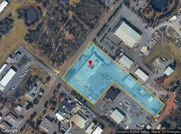
2052 Lucon Rd
Philadelphia-Camden-Wilmington, PA-NJ-DE-MD
Hkg Sub 1A
51-00-02314-002
ASSESSOR BLOCK-UNIT NUMBER 5-3
Warehouse
Montgomery
X
Pennsylvania
42091C0231G
3
2024
6.69 AC
2025
West Montgomery Cty
206704
Philadelphia
54,704 SF
DEMOGRAPHICS near 2052 Lucon Rd
1 Mile
3 Mile
5 Mile
2024 Total Population
2,575
26,216
82,830
2029 Population
2,502
26,325
83,847
Pop Growth 2024-2029
(2.83%)
+ 0.42%
+ 1.23%
Average Age
40
42
42
2024 Total Households
919
8,372
29,008
HH Growth 2024-2029
(3.05%)
+ 0.54%
+ 1.25%
Median Household Inc
$183,184
$144,111
$124,867
Avg Household Size
2.80
2.70
2.60
2024 Avg HH Vehicles
2.00
2.00
2.00
Median Home Value
$456,593
$442,472
$418,930
Median Year Built
1992
1991
1988
Nearby Places
Map Layers
Map Styles
 Street
 Aerial
- Restaurants
- Banks
- Shops
- Fitness
- Groceries
PUBLIC TRANSPORTATION
COMMUTER RAIL
Pennbrook (R5 - Southeastern Pennsylvania Transportation Authority Regional Rail (SEPTA Regional Rail))
DRIVE
WALK
Distance
Pennbrook (R5 - Southeastern Pennsylvania Transportation Authority Regional Rail (SEPTA Regional Rail))
18 min
10.0 mi
AIRPORT
Philadelphia International
DRIVE
WALK
Distance
Philadelphia International
58 min
40.1 mi
Lehigh Valley International
DRIVE
WALK
Distance
Lehigh Valley International
59 min
43.5 mi
Freight Ports
Port of Philadelphia
DRIVE
WALK
Distance
Port of Philadelphia
46 min
27.2 mi
Nearby Properties
Address
Land Use
TOTAL SIZE
Lot Size
Zoning
Address
Land Use
TOTAL SIZE
Lot Size
Zoning
1.74 AC
IR
Address
Land Use
TOTAL SIZE
Lot Size
Zoning
425,899 SF
78.61 AC
R1
Address
Land Use
TOTAL SIZE
Lot Size
Zoning
160,533 SF
30.50 AC
PRD
Address
Land Use
TOTAL SIZE
Lot Size
Zoning
156,694 SF
18.82 AC
C
Address
Land Use
TOTAL SIZE
Lot Size
Zoning
98,724 SF
35.50 AC
R1
Address
Land Use
TOTAL SIZE
Lot Size
Zoning
89,129 SF
17.37 AC
IN
Address
Land Use
TOTAL SIZE
Lot Size
Zoning
90,217 SF
19 AC
R1
Address
Land Use
TOTAL SIZE
Lot Size
Zoning
246,631 SF
48.78 AC
AO
Address
Land Use
TOTAL SIZE
Lot Size
Zoning
60,519 SF
20.68 AC
R1
Address
Land Use
TOTAL SIZE
Lot Size
Zoning
29,014 SF
13.41 AC
R5
Address
Land Use
TOTAL SIZE
Lot Size
Zoning
66,456 SF
2.43 AC
MU
Address
Land Use
TOTAL SIZE
Lot Size
Zoning
73,374 SF
4.05 AC
IN
Address
Land Use
TOTAL SIZE
Lot Size
Zoning
223.97 AC
R1
Address
Land Use
TOTAL SIZE
Lot Size
Zoning
41,578 SF
16.89 AC
R3
Address
Land Use
TOTAL SIZE
Lot Size
Zoning
10,880 SF
124.70 AC
R1
Address
Land Use
TOTAL SIZE
Lot Size
Zoning
28,885 SF
52.82 AC
CF-2
Address
Land Use
TOTAL SIZE
Lot Size
Zoning
48,360 SF
8.65 AC
LI
Address
Land Use
TOTAL SIZE
Lot Size
Zoning
24,408 SF
20.74 AC
R1
Address
Land Use
TOTAL SIZE
Lot Size
Zoning
87,190 SF
14.47 AC
LI
Address
Land Use
TOTAL SIZE
Lot Size
Zoning
6,569 SF
107 AC
IR
Address
Land Use
TOTAL SIZE
Lot Size
Zoning
23,022 SF
2.64 AC
MU
Address
Land Use
TOTAL SIZE
Lot Size
Zoning
70,524 SF
10.66 AC
LI
Address
Land Use
TOTAL SIZE
Lot Size
Zoning
57,397 SF
25.55 AC
R1A
Address
Land Use
TOTAL SIZE
Lot Size
Zoning
88,050 SF
8.68 AC
R4
Address
Land Use
TOTAL SIZE
Lot Size
Zoning
23,234 SF
0.34 AC
VC
Address
Land Use
TOTAL SIZE
Lot Size
Zoning
55,586 SF
4.50 AC
LI
Address
Land Use
TOTAL SIZE
Lot Size
Zoning
23,125 SF
3.31 AC
GC
Address
Land Use
TOTAL SIZE
Lot Size
Zoning
58,139 SF
6.01 AC
LI
Address
Land Use
TOTAL SIZE
Lot Size
Zoning
15,140 SF
1.92 AC
GC
The World's #1 Commercial Real Estate Marketplace
Connect with us
© 2026 CoStar Group
The information above has been obtained from sources believed reliable. While we do not doubt its accuracy we have not verified it and make no guarantee, warranty or representation about it. It is your responsibility to independently confirm its accuracy and completeness. Any projections, opinions, assumptions, or estimates used are for example only and do not represent the current or future performance of the property. The value of this transaction to you depends on tax and other factors which should be evaluated by your tax, financial, and legal advisors. You and your advisors should conduct a careful, independent investigation of the property to determine to your satisfaction the suitability of the property for your needs.