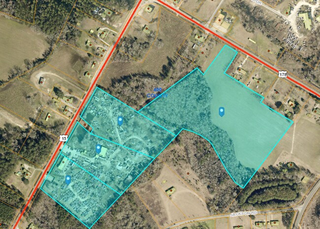
Property Record
Highway 15 N, Saint George, SC 29477
NEARBY LISTINGS FOR SALE OR LEASE
Property Detail
Highway 15 N
014-00-00-217
TRACT 3
Autorepair
Dorchester
X
South Carolina
45035C0045E
5.42 AC
2025
Dorchester County
2025
Charleston/N Charleston
010200
Charleston-North Charleston, SC
303 SF
DEMOGRAPHICS near Highway 15 N
1 Mile
3 Mile
5 Mile
2024 Total Population
423
1,357
4,244
2029 Population
462
1,483
4,631
Pop Growth 2024-2029
+ 9.22%
+ 9.29%
+ 9.12%
Average Age
46
45
45
2024 Total Households
187
585
1,826
HH Growth 2024-2029
+ 9.09%
+ 9.06%
+ 8.98%
Median Household Inc
$55,486
$53,854
$51,222
Avg Household Size
2.30
2.30
2.30
2024 Avg HH Vehicles
2.00
2.00
2.00
Median Home Value
$76,698
$80,375
$108,984
Median Year Built
1981
1981
1979
Nearby Places
Map Layers
Map Styles
 Street
 Aerial
- Restaurants
- Banks
- Shops
- Fitness
- Groceries
SALE & LEASE HISTORY
LISTING DATE
SALE/LEASE

May 01, 2023
For Sale
Aug 09, 2023
For Sale
Nearby Properties
Address
Land Use
TOTAL SIZE
Lot Size
Zoning
Address
Land Use
TOTAL SIZE
Lot Size
Zoning
64,026 SF
19.80 AC
AR_DC
Address
Land Use
TOTAL SIZE
Lot Size
Zoning
14,388 SF
11.03 AC
CG_DC
Address
Land Use
TOTAL SIZE
Lot Size
Zoning
1,002.48 AC
AR_DC
Address
Land Use
TOTAL SIZE
Lot Size
Zoning
7,182 SF
10.56 AC
CG_DC
Address
Land Use
TOTAL SIZE
Lot Size
Zoning
142 AC
CG_DC
Address
Land Use
TOTAL SIZE
Lot Size
Zoning
613.78 AC
AR_DC
Address
Land Use
TOTAL SIZE
Lot Size
Zoning
15,315 SF
2.51 AC
CG_DC
Address
Land Use
TOTAL SIZE
Lot Size
Zoning
335.60 AC
AR_DC
Address
Land Use
TOTAL SIZE
Lot Size
Zoning
317.40 AC
AR_DC
Address
Land Use
TOTAL SIZE
Lot Size
Zoning
13,080 SF
1.80 AC
CG_DC
Address
Land Use
TOTAL SIZE
Lot Size
Zoning
255.20 AC
AR_DC
Address
Land Use
TOTAL SIZE
Lot Size
Zoning
5,175 SF
0.91 AC
CG_DC
Address
Land Use
TOTAL SIZE
Lot Size
Zoning
27.05 AC
CG_DC
Address
Land Use
TOTAL SIZE
Lot Size
Zoning
50.47 AC
I_DC
Address
Land Use
TOTAL SIZE
Lot Size
Zoning
226.59 AC
AR_DC
Address
Land Use
TOTAL SIZE
Lot Size
Zoning
193.48 AC
AR_DC
Address
Land Use
TOTAL SIZE
Lot Size
Zoning
33.82 AC
CLI_DC
Address
Land Use
TOTAL SIZE
Lot Size
Zoning
190.79 AC
AR_DC
Address
Land Use
TOTAL SIZE
Lot Size
Zoning
18.83 AC
CG_DC
Address
Land Use
TOTAL SIZE
Lot Size
Zoning
31.79 AC
CG_DC
Address
Land Use
TOTAL SIZE
Lot Size
Zoning
178.35 AC
AR_DC
Address
Land Use
TOTAL SIZE
Lot Size
Zoning
175.90 AC
AR_DC
Address
Land Use
TOTAL SIZE
Lot Size
Zoning
169.83 AC
AR_DC
Address
Land Use
TOTAL SIZE
Lot Size
Zoning
7,248 SF
0.70 AC
AR_DC
Address
Land Use
TOTAL SIZE
Lot Size
Zoning
164.95 AC
AR_DC
Address
Land Use
TOTAL SIZE
Lot Size
Zoning
43.29 AC
CG_DC
Address
Land Use
TOTAL SIZE
Lot Size
Zoning
1,200 SF
162.86 AC
AR_DC
Address
Land Use
TOTAL SIZE
Lot Size
Zoning
28.48 AC
CLI_DC
Address
Land Use
TOTAL SIZE
Lot Size
Zoning
33.82 AC
CG_DC
Address
Land Use
TOTAL SIZE
Lot Size
Zoning
139.40 AC
AR_DC
The World's #1 Commercial Real Estate Marketplace
Connect with us
© 2025 CoStar Group
The information above has been obtained from sources believed reliable. While we do not doubt its accuracy we have not verified it and make no guarantee, warranty or representation about it. It is your responsibility to independently confirm its accuracy and completeness. Any projections, opinions, assumptions, or estimates used are for example only and do not represent the current or future performance of the property. The value of this transaction to you depends on tax and other factors which should be evaluated by your tax, financial, and legal advisors. You and your advisors should conduct a careful, independent investigation of the property to determine to your satisfaction the suitability of the property for your needs.