Property Record
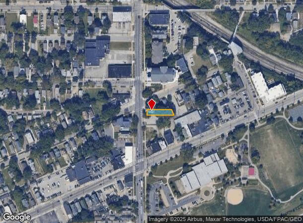
2055 W 65Th St, Cleveland, OH 44102


NEARBY LISTINGS FOR SALE OR LEASE
Property Detail
2055 W 65Th St
Cleveland-Elyria, OH
Hoyt
002-27-040
33 HOYT 0164 ALL
Retailwithmorethanonenonretailuse
Cuyahoga
X
Ohio
39035C0176F
164
2024
0.12 AC
2024
Detroit-Shoreway
197500
Cleveland
4,355 SF
DEMOGRAPHICS near 2055 W 65Th St
1 Mile
3 Mile
5 Mile
2024 Total Population
22,710
135,036
284,376
2029 Population
22,056
131,380
276,349
Pop Growth 2024-2029
(2.88%)
(2.71%)
(2.82%)
Average Age
37
38
38
2024 Total Households
9,985
64,018
130,808
HH Growth 2024-2029
(3.02%)
(2.51%)
(2.78%)
Median Household Inc
$36,203
$44,317
$45,963
Avg Household Size
2.10
2.00
2.10
2024 Avg HH Vehicles
1.00
1.00
1.00
Median Home Value
$161,549
$121,267
$133,843
Median Year Built
1946
1947
1948
Nearby Places
Map Layers
Map Styles
 Street
 Aerial
- Restaurants
- Banks
- Shops
- Fitness
- Groceries
PUBLIC TRANSPORTATION
TRANSIT/SUBWAY
W 65Th St-Lorain Av Station (Red Line - Greater Cleveland Regional Transit Authority)
DRIVE
WALK
Distance
W 65Th St-Lorain Av Station (Red Line - Greater Cleveland Regional Transit Authority)
0 min
4 min
0.1 mi
West 65 - Lorain (Red Line - Greater Cleveland Regional Transit Authority Rapid Transit (The Rapid))
DRIVE
WALK
Distance
West 65 - Lorain (Red Line - Greater Cleveland Regional Transit Authority Rapid Transit (The Rapid))
0 min
4 min
0.1 mi
COMMUTER RAIL
Cleveland Lakefront Station (Blue Line - Greater Cleveland Regional Transit Authority Rapid Transit (The Rapid), Green Line - Greater Cleveland Regional Transit Authority Rapid Transit (The Rapid))
DRIVE
WALK
Distance
Cleveland Lakefront Station (Blue Line - Greater Cleveland Regional Transit Authority Rapid Transit (The Rapid), Green Line - Greater Cleveland Regional Transit Authority Rapid Transit (The Rapid))
11 min
4.4 mi
AIRPORT
Cleveland-Hopkins International
DRIVE
WALK
Distance
Cleveland-Hopkins International
19 min
10.2 mi
Freight Ports
Port of Toledo
DRIVE
WALK
Distance
Port of Toledo
133 min
110.6 mi
SALE & LEASE HISTORY
LISTING DATE
SALE/LEASE

Aug 11, 2022
For Sale
Nearby Properties
Address
Land Use
TOTAL SIZE
Lot Size
Zoning
Address
Land Use
TOTAL SIZE
Lot Size
Zoning
3,491,901 SF
34.32 AC
Address
Land Use
TOTAL SIZE
Lot Size
Zoning
753,970 SF
9.31 AC
GR
Address
Land Use
TOTAL SIZE
Lot Size
Zoning
1,570,958 SF
1.33 AC
GR
Address
Land Use
TOTAL SIZE
Lot Size
Zoning
17.45 AC
GI
Address
Land Use
TOTAL SIZE
Lot Size
Zoning
16.78 AC
SI
Address
Land Use
TOTAL SIZE
Lot Size
Zoning
710,780 SF
4.33 AC
GR
Address
Land Use
TOTAL SIZE
Lot Size
Zoning
1,191,268 SF
3.94 AC
SI
Address
Land Use
TOTAL SIZE
Lot Size
Zoning
6.98 AC
SI
Address
Land Use
TOTAL SIZE
Lot Size
Zoning
5,100 SF
9.41 AC
GI
Address
Land Use
TOTAL SIZE
Lot Size
Zoning
652,455 SF
2.04 AC
GR
Address
Land Use
TOTAL SIZE
Lot Size
Zoning
263,723 SF
7.48 AC
GI
Address
Land Use
TOTAL SIZE
Lot Size
Zoning
1,130,924 SF
4.02 AC
SI
Address
Land Use
TOTAL SIZE
Lot Size
Zoning
299,515 SF
1.30 AC
GR
Address
Land Use
TOTAL SIZE
Lot Size
Zoning
228,154 SF
0.48 AC
GR
Address
Land Use
TOTAL SIZE
Lot Size
Zoning
3.23 AC
LLR
Address
Land Use
TOTAL SIZE
Lot Size
Zoning
2.74 AC
Address
Land Use
TOTAL SIZE
Lot Size
Zoning
1,003,787 SF
2.12 AC
GR
Address
Land Use
TOTAL SIZE
Lot Size
Zoning
1,467,599 SF
1.66 AC
GR
Address
Land Use
TOTAL SIZE
Lot Size
Zoning
758,394 SF
2.25 AC
GR
Address
Land Use
TOTAL SIZE
Lot Size
Zoning
493,911 SF
1.88 AC
LLR
Address
Land Use
TOTAL SIZE
Lot Size
Zoning
257,857 SF
8.03 AC
GR
Address
Land Use
TOTAL SIZE
Lot Size
Zoning
1.53 AC
LLR
Address
Land Use
TOTAL SIZE
Lot Size
Zoning
299,507 SF
2.14 AC
LR
Address
Land Use
TOTAL SIZE
Lot Size
Zoning
2.83 AC
LLR
Address
Land Use
TOTAL SIZE
Lot Size
Zoning
723,254 SF
1.28 AC
SI
Address
Land Use
TOTAL SIZE
Lot Size
Zoning
767,143 SF
3.35 AC
GR
Address
Land Use
TOTAL SIZE
Lot Size
Zoning
1.61 AC
BOR
Address
Land Use
TOTAL SIZE
Lot Size
Zoning
635,481 SF
1.51 AC
SI
Address
Land Use
TOTAL SIZE
Lot Size
Zoning
662,853 SF
2.49 AC
SI
Address
Land Use
TOTAL SIZE
Lot Size
Zoning
696,162 SF
1.57 AC
GR
The World's #1 Commercial Real Estate Marketplace
Connect with us
© 2025 CoStar Group
The information above has been obtained from sources believed reliable. While we do not doubt its accuracy we have not verified it and make no guarantee, warranty or representation about it. It is your responsibility to independently confirm its accuracy and completeness. Any projections, opinions, assumptions, or estimates used are for example only and do not represent the current or future performance of the property. The value of this transaction to you depends on tax and other factors which should be evaluated by your tax, financial, and legal advisors. You and your advisors should conduct a careful, independent investigation of the property to determine to your satisfaction the suitability of the property for your needs.