Property Record
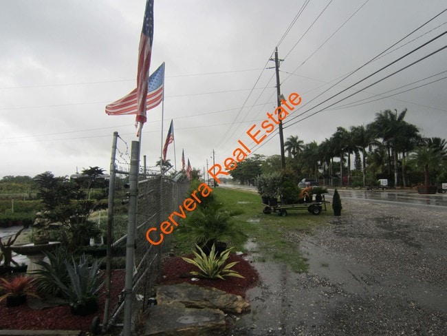
20650 Sw 177Th Ave, Miami, FL 33187


NEARBY LISTINGS FOR SALE OR LEASE
-
-
No Photo
-
-
-
-
-
-
View all Miami listings for sale on LoopNet.com
Property Detail
20650 Sw 177Th Ave
30-6812-000-0130
12 56 38 10 AC N1/2 OF S1/2 OF SE1/4 OF NE1/4 COC 22743-2268 23073-3511 1004 1
Agriculturalland
Miami/Dade
AE
Florida
12086C0580L
10 AC
2024
South Dade
2025
South Florida
010302
Miami-Miami Beach-Kendall, FL
3,669 SF
DEMOGRAPHICS near 20650 Sw 177Th Ave
1 Mile
3 Mile
5 Mile
2024 Total Population
25,510
126,330
266,004
2029 Population
25,092
123,962
260,295
Pop Growth 2024-2029
(1.64%)
(1.87%)
(2.15%)
Average Age
40
39
39
2024 Total Households
8,551
38,547
81,731
HH Growth 2024-2029
(1.86%)
(2.29%)
(2.60%)
Median Household Inc
$38,768
$62,759
$67,687
Avg Household Size
2.90
3.10
3.10
2024 Avg HH Vehicles
2.00
2.00
2.00
Median Home Value
$293,722
$338,406
$357,132
Median Year Built
1983
1988
1990
Nearby Places
Map Layers
Map Styles
 Street
 Aerial
- Restaurants
- Banks
- Shops
- Fitness
- Groceries
PUBLIC TRANSPORTATION
AIRPORT
Miami International
DRIVE
WALK
Distance
Miami International
42 min
25.6 mi
Freight Ports
Port of Miami
DRIVE
WALK
Distance
Port of Miami
51 min
32.6 mi
Nearby Properties
Address
Land Use
TOTAL SIZE
Lot Size
Zoning
Address
Land Use
TOTAL SIZE
Lot Size
Zoning
33,067 SF
14.04 AC
9000
Address
Land Use
TOTAL SIZE
Lot Size
Zoning
12,194 SF
24 AC
9000
Address
Land Use
TOTAL SIZE
Lot Size
Zoning
55,130 SF
8.65 AC
9000
Address
Land Use
TOTAL SIZE
Lot Size
Zoning
42,585 SF
15 AC
9000
Address
Land Use
TOTAL SIZE
Lot Size
Zoning
693 SF
91.97 AC
9000
Address
Land Use
TOTAL SIZE
Lot Size
Zoning
2,425 SF
9.11 AC
9000
Address
Land Use
TOTAL SIZE
Lot Size
Zoning
40 AC
9000
Address
Land Use
TOTAL SIZE
Lot Size
Zoning
30,063 SF
2.39 AC
6100
Address
Land Use
TOTAL SIZE
Lot Size
Zoning
868 SF
9.13 AC
9000
Address
Land Use
TOTAL SIZE
Lot Size
Zoning
22.81 AC
7700
Address
Land Use
TOTAL SIZE
Lot Size
Zoning
13,942 SF
2.70 AC
6200
Address
Land Use
TOTAL SIZE
Lot Size
Zoning
24,772 SF
4.38 AC
6200
Address
Land Use
TOTAL SIZE
Lot Size
Zoning
44,216 SF
4.36 AC
7700
Address
Land Use
TOTAL SIZE
Lot Size
Zoning
22,570 SF
4.36 AC
7700
Address
Land Use
TOTAL SIZE
Lot Size
Zoning
16,219 SF
10 AC
9000
Address
Land Use
TOTAL SIZE
Lot Size
Zoning
13,611 SF
10 AC
9000
Address
Land Use
TOTAL SIZE
Lot Size
Zoning
38,060 SF
8.76 AC
9000
Address
Land Use
TOTAL SIZE
Lot Size
Zoning
23,704 SF
9.26 AC
9000
Address
Land Use
TOTAL SIZE
Lot Size
Zoning
55,681 SF
16.89 AC
8900
Address
Land Use
TOTAL SIZE
Lot Size
Zoning
20,895 SF
117.25 AC
9000
Address
Land Use
TOTAL SIZE
Lot Size
Zoning
1,980 SF
29.86 AC
8900
Address
Land Use
TOTAL SIZE
Lot Size
Zoning
16,555 SF
4.69 AC
9000
Address
Land Use
TOTAL SIZE
Lot Size
Zoning
6,946 SF
2.10 AC
6200
Address
Land Use
TOTAL SIZE
Lot Size
Zoning
8,580 SF
55 AC
9000
Address
Land Use
TOTAL SIZE
Lot Size
Zoning
4,929 SF
5.40 AC
9000
Address
Land Use
TOTAL SIZE
Lot Size
Zoning
51,854 SF
4.92 AC
9000
Address
Land Use
TOTAL SIZE
Lot Size
Zoning
18,596 SF
4.70 AC
2300
Address
Land Use
TOTAL SIZE
Lot Size
Zoning
5,800 SF
2.33 AC
6100
Address
Land Use
TOTAL SIZE
Lot Size
Zoning
13,452 SF
2.33 AC
8900
Address
Land Use
TOTAL SIZE
Lot Size
Zoning
14,087 SF
1.38 AC
6200
The World's #1 Commercial Real Estate Marketplace
Connect with us
© 2025 CoStar Group
The information above has been obtained from sources believed reliable. While we do not doubt its accuracy we have not verified it and make no guarantee, warranty or representation about it. It is your responsibility to independently confirm its accuracy and completeness. Any projections, opinions, assumptions, or estimates used are for example only and do not represent the current or future performance of the property. The value of this transaction to you depends on tax and other factors which should be evaluated by your tax, financial, and legal advisors. You and your advisors should conduct a careful, independent investigation of the property to determine to your satisfaction the suitability of the property for your needs.