Property Record
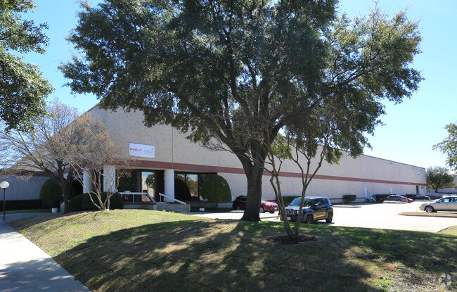
2075 Mcdaniel Dr, Carrollton, TX 75006


Property Detail
2075 Mcdaniel Dr
Dallas-Fort Worth-Arlington, TX
MCDANIEL DRIVE DISTRIBUTION CTR BLK 3 TR 2 ACS 4.554 INT20070234282 DD06272007 CO-DC 0590000300200 1CC05900003
14059000030020000
DALLAS
Warehouse
Texas
Z123
2
2024
4.55 AC
2025
N Stemmons/Valwood
014002
Dallas/Ft Worth
93,575 SF
NEARBY LISTINGS FOR SALE OR LEASE
DEMOGRAPHICS near 2075 Mcdaniel Dr
1 mile
3 mile
5 mile
2025 Total Population
68
96,444
266,038
2030 Population
77
99,677
276,295
Pop Growth 2025-2030
+ 13.24%
+ 3.35%
+ 3.86%
Average Age
34
36
37
2025 Total Households
37
36,977
105,906
HH Growth 2025-2030
+ 13.51%
+ 3.62%
+ 3.72%
Median Household Inc
$99,999
$99,681
$104,416
Avg Household Size
1.80
2.60
2.50
2025 Avg HH Vehicles
1.00
2.00
2.00
Median Home Value
$678,571
$392,918
$439,652
Median Year Built
2011
1993
1989
Nearby Places
Map Layers
Map Styles
 Street
 Aerial
Layers
 Traffic
 Biking
Places
Listings with unknown addresses are not visible on the map
- Restaurants
- Banks
- Shops
- Fitness
- Groceries
PUBLIC TRANSPORTATION
COMMUTER RAIL
Trinity Mills Station (Green Line - Dallas Area Rapid Transit (DART))
Drive
Walk
Distance
Trinity Mills Station (Green Line - Dallas Area Rapid Transit (DART))
8 min
5.0 mi
Hebron Station (A-train - Denton County Transportation Authority)
Drive
Walk
Distance
Hebron Station (A-train - Denton County Transportation Authority)
13 min
8.0 mi
AIRPORT
Dallas Love Field
Drive
Walk
Distance
Dallas Love Field
21 min
12.7 mi
Dallas-Fort Worth International
Drive
Walk
Distance
Dallas-Fort Worth International
20 min
13.3 mi
Freight Ports
Port of Shreveport
Drive
Walk
Distance
Port of Shreveport
227 min
210.6 mi
SALE & LEASE HISTORY
LISTING DATE
SALE/LEASE

Aug 06, 2024
For Lease
Nearby Properties
Address
Land Use
TOTAL SIZE
Lot Size
Zoning
Address
Land Use
TOTAL SIZE
Lot Size
Zoning
470,764 SF
13.85 AC
Z236
Address
Land Use
TOTAL SIZE
Lot Size
Zoning
471,524 SF
20.34 AC
Z84
Address
Land Use
TOTAL SIZE
Lot Size
Zoning
530,586 SF
15.15 AC
Z236
Address
Land Use
TOTAL SIZE
Lot Size
Zoning
550,411 SF
19.39 AC
Z243
Address
Land Use
TOTAL SIZE
Lot Size
Zoning
655,587 SF
8.02 AC
Address
Land Use
TOTAL SIZE
Lot Size
Zoning
371,837 SF
54.36 AC
Z86
Address
Land Use
TOTAL SIZE
Lot Size
Zoning
605,278 SF
10.70 AC
Z236
Address
Land Use
TOTAL SIZE
Lot Size
Zoning
513,871 SF
3.63 AC
Z235
Address
Land Use
TOTAL SIZE
Lot Size
Zoning
242,707 SF
27.63 AC
Z343
Address
Land Use
TOTAL SIZE
Lot Size
Zoning
445,726 SF
11.63 AC
Z236
Address
Land Use
TOTAL SIZE
Lot Size
Zoning
414,646 SF
18.37 AC
Z49
Address
Land Use
TOTAL SIZE
Lot Size
Zoning
405,543 SF
9.53 AC
Z243
Address
Land Use
TOTAL SIZE
Lot Size
Zoning
368,845 SF
20.96 AC
Z172
Address
Land Use
TOTAL SIZE
Lot Size
Zoning
544,650 SF
26.03 AC
Z177
Address
Land Use
TOTAL SIZE
Lot Size
Zoning
292,676 SF
11.98 AC
Z243
Address
Land Use
TOTAL SIZE
Lot Size
Zoning
458,260 SF
22.40 AC
Z236
Address
Land Use
TOTAL SIZE
Lot Size
Zoning
578,538 SF
10.72 AC
Z236
Address
Land Use
TOTAL SIZE
Lot Size
Zoning
544,163 SF
11.24 AC
Z236
Address
Land Use
TOTAL SIZE
Lot Size
Zoning
321,732 SF
4.05 AC
Z235
Address
Land Use
TOTAL SIZE
Lot Size
Zoning
589,083 SF
9.86 AC
Z236
Address
Land Use
TOTAL SIZE
Lot Size
Zoning
357,328 SF
24.53 AC
Z243
Address
Land Use
TOTAL SIZE
Lot Size
Zoning
345,320 SF
20.50 AC
Z172
Address
Land Use
TOTAL SIZE
Lot Size
Zoning
427,744 SF
20.91 AC
Z236
Address
Land Use
TOTAL SIZE
Lot Size
Zoning
284,707 SF
10.05 AC
Z236
Address
Land Use
TOTAL SIZE
Lot Size
Zoning
452,875 SF
5.29 AC
Z236
Address
Land Use
TOTAL SIZE
Lot Size
Zoning
339,819 SF
16.29 AC
Z243
Address
Land Use
TOTAL SIZE
Lot Size
Zoning
266,871 SF
87 SF
Address
Land Use
TOTAL SIZE
Lot Size
Zoning
329,798 SF
14.78 AC
Z243
Address
Land Use
TOTAL SIZE
Lot Size
Zoning
265,944 SF
11.93 AC
Z243
Address
Land Use
TOTAL SIZE
Lot Size
Zoning
337,416 SF
8.79 AC
Z236
The World's #1 Commercial Real Estate Marketplace
Connect with us
© 2026 CoStar Group
The information above has been obtained from sources believed reliable. While we do not doubt its accuracy we have not verified it and make no guarantee, warranty or representation about it. It is your responsibility to independently confirm its accuracy and completeness. Any projections, opinions, assumptions, or estimates used are for example only and do not represent the current or future performance of the property. The value of this transaction to you depends on tax and other factors which should be evaluated by your tax, financial, and legal advisors. You and your advisors should conduct a careful, independent investigation of the property to determine to your satisfaction the suitability of the property for your needs.