Property Record
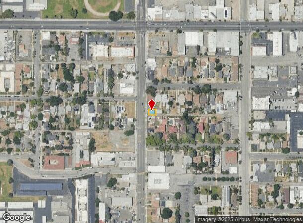
2079 N E St, San Bernardino, CA 92405


This Property Is For Sale
NEARBY LISTINGS FOR SALE OR LEASE
Property Detail
2079 N E St
Riverside-San Bernardino-Ontario, CA
Adair & Meyers Subdivision
0145-032-11
ADAIR AND MEYERS SUB S 38.5 FT LOT 36
Officebuilding
San Bernardino
X
California
06071C7945H
36
2024
0.04 AC
2025
San Bernardino
005400
Inland Empire (California)
1,280 SF
DEMOGRAPHICS near 2079 N E St
1 Mile
3 Mile
5 Mile
2024 Total Population
28,816
166,936
333,268
2029 Population
29,280
169,387
338,031
Pop Growth 2024-2029
+ 1.61%
+ 1.47%
+ 1.43%
Average Age
33
34
34
2024 Total Households
8,066
47,059
92,147
HH Growth 2024-2029
+ 1.60%
+ 1.55%
+ 1.49%
Median Household Inc
$48,210
$53,235
$59,233
Avg Household Size
3.40
3.40
3.50
2024 Avg HH Vehicles
2.00
2.00
2.00
Median Home Value
$299,467
$319,002
$341,090
Median Year Built
1954
1961
1967
Nearby Places
Map Layers
Map Styles
 Street
 Aerial
- Restaurants
- Banks
- Shops
- Fitness
- Groceries
PUBLIC TRANSPORTATION
COMMUTER RAIL
DRIVE
WALK
Distance
7 min
2.6 mi
San Bernardino (Inland Empire-Orange County Line - Southern California Regional Rail Authority (Metrolink), San Bernardino Line - Southern California Regional Rail Authority (Metrolink))
DRIVE
WALK
Distance
San Bernardino (Inland Empire-Orange County Line - Southern California Regional Rail Authority (Metrolink), San Bernardino Line - Southern California Regional Rail Authority (Metrolink))
7 min
3.4 mi
AIRPORT
Ontario International
DRIVE
WALK
Distance
Ontario International
31 min
23.8 mi
Nearby Properties
Address
Land Use
TOTAL SIZE
Lot Size
Zoning
Address
Land Use
TOTAL SIZE
Lot Size
Zoning
778,653 SF
19.31 AC
Address
Land Use
TOTAL SIZE
Lot Size
Zoning
379,299 SF
19.97 AC
Address
Land Use
TOTAL SIZE
Lot Size
Zoning
801,377 SF
20.81 AC
Address
Land Use
TOTAL SIZE
Lot Size
Zoning
178,926 SF
9.12 AC
IC
Address
Land Use
TOTAL SIZE
Lot Size
Zoning
277,822 SF
13.65 AC
Address
Land Use
TOTAL SIZE
Lot Size
Zoning
335,000 SF
8.44 AC
Address
Land Use
TOTAL SIZE
Lot Size
Zoning
151,859 SF
7.23 AC
Address
Land Use
TOTAL SIZE
Lot Size
Zoning
415,405 SF
18.43 AC
IC
Address
Land Use
TOTAL SIZE
Lot Size
Zoning
354,108 SF
16.93 AC
Address
Land Use
TOTAL SIZE
Lot Size
Zoning
599,690 SF
17.08 AC
IC
Address
Land Use
TOTAL SIZE
Lot Size
Zoning
413,953 SF
19.58 AC
Address
Land Use
TOTAL SIZE
Lot Size
Zoning
159,956 SF
9.20 AC
Address
Land Use
TOTAL SIZE
Lot Size
Zoning
350,939 SF
6.29 AC
Address
Land Use
TOTAL SIZE
Lot Size
Zoning
Address
Land Use
TOTAL SIZE
Lot Size
Zoning
8,200 SF
11.29 AC
Address
Land Use
TOTAL SIZE
Lot Size
Zoning
448,460 SF
24.10 AC
Address
Land Use
TOTAL SIZE
Lot Size
Zoning
55,432 SF
5.31 AC
Address
Land Use
TOTAL SIZE
Lot Size
Zoning
132,596 SF
7.35 AC
Address
Land Use
TOTAL SIZE
Lot Size
Zoning
86,606 SF
5.29 AC
Address
Land Use
TOTAL SIZE
Lot Size
Zoning
70,386 SF
5.11 AC
Address
Land Use
TOTAL SIZE
Lot Size
Zoning
954 SF
9.34 AC
IC
Address
Land Use
TOTAL SIZE
Lot Size
Zoning
217,418 SF
7.45 AC
Address
Land Use
TOTAL SIZE
Lot Size
Zoning
148,639 SF
12.12 AC
Address
Land Use
TOTAL SIZE
Lot Size
Zoning
73,864 SF
5.44 AC
R1
Address
Land Use
TOTAL SIZE
Lot Size
Zoning
212,970 SF
11.05 AC
Address
Land Use
TOTAL SIZE
Lot Size
Zoning
73,308 SF
4.76 AC
Address
Land Use
TOTAL SIZE
Lot Size
Zoning
60,384 SF
2.81 AC
Address
Land Use
TOTAL SIZE
Lot Size
Zoning
87,733 SF
4.65 AC
Address
Land Use
TOTAL SIZE
Lot Size
Zoning
66,180 SF
3.07 AC
Address
Land Use
TOTAL SIZE
Lot Size
Zoning
91,086 SF
4.16 AC
The World's #1 Commercial Real Estate Marketplace
Connect with us
© 2025 CoStar Group
The information above has been obtained from sources believed reliable. While we do not doubt its accuracy we have not verified it and make no guarantee, warranty or representation about it. It is your responsibility to independently confirm its accuracy and completeness. Any projections, opinions, assumptions, or estimates used are for example only and do not represent the current or future performance of the property. The value of this transaction to you depends on tax and other factors which should be evaluated by your tax, financial, and legal advisors. You and your advisors should conduct a careful, independent investigation of the property to determine to your satisfaction the suitability of the property for your needs.