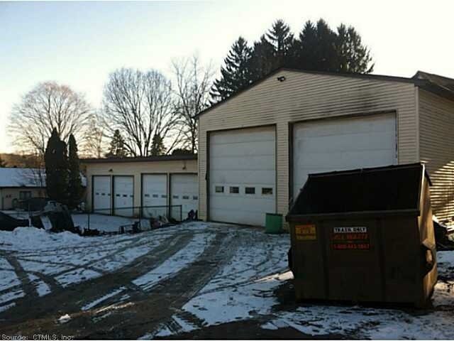
Property Record
209 Main St, Rockfall, CT 06481


Property Detail
209 Main St
MFLD-000009-000000-000041
MIDDLESEX
Commercialofficeresidentialmixeduse
Connecticut
HD2
41
B and X Area of moderate flood hazard, usually the area between the limits of the 100-year and 500-year floods.
5 AC
2025
NW Middlesex/Mid'town
2025
Hartford
580100
Hartford-West Hartford-East Hartford, CT
NEARBY LISTINGS FOR SALE OR LEASE
DEMOGRAPHICS near 209 Main St
1 mile
3 mile
5 mile
2025 Total Population
1,842
23,169
84,500
2030 Population
1,851
23,399
85,046
Pop Growth 2025-2030
+ 0.49%
+ 0.99%
+ 0.65%
Average Age
45
42
41
2025 Total Households
744
9,404
34,638
HH Growth 2025-2030
+ 0.54%
+ 0.96%
+ 0.57%
Median Household Inc
$127,128
$85,361
$78,366
Avg Household Size
2.50
2.20
2.20
2025 Avg HH Vehicles
2.00
2.00
2.00
Median Home Value
$406,688
$327,802
$289,515
Median Year Built
1966
1969
1969
Nearby Places
Map Layers
Map Styles
 Street
 Aerial
Transit
 Traffic
 Biking
Places
Listings with unknown addresses are not visible on the map
- Restaurants
- Banks
- Shops
- Fitness
- Groceries
PUBLIC TRANSPORTATION
COMMUTER RAIL
Meriden (Hartford Line - CONN DOT)
Drive
Walk
Distance
Meriden (Hartford Line - CONN DOT)
14 min
7.8 mi
AIRPORT
Tweed/New Haven
Drive
Walk
Distance
Tweed/New Haven
41 min
26.0 mi
Bradley International
Drive
Walk
Distance
Bradley International
58 min
37.2 mi
Freight Ports
Port of New Haven
Drive
Walk
Distance
Port of New Haven
37 min
23.7 mi
SALE & LEASE HISTORY
LISTING DATE
SALE/LEASE

Sep 23, 2016
For Sale
Mar 22, 2017
For Sale
Nearby Properties
Address
Land Use
TOTAL SIZE
Lot Size
Zoning
Address
Land Use
TOTAL SIZE
Lot Size
Zoning
12.12 AC
RPZ
Address
Land Use
TOTAL SIZE
Lot Size
Zoning
197,789 SF
31.92 AC
R-15
Address
Land Use
TOTAL SIZE
Lot Size
Zoning
267,588 SF
12.34 AC
ID
Address
Land Use
TOTAL SIZE
Lot Size
Zoning
108,540 SF
22.99 AC
R-15
Address
Land Use
TOTAL SIZE
Lot Size
Zoning
7.79 AC
ID
Address
Land Use
TOTAL SIZE
Lot Size
Zoning
23.01 AC
M
Address
Land Use
TOTAL SIZE
Lot Size
Zoning
65,615 SF
1.46 AC
ID
Address
Land Use
TOTAL SIZE
Lot Size
Zoning
92,766 SF
1.79 AC
ID
Address
Land Use
TOTAL SIZE
Lot Size
Zoning
3.24 AC
ID
Address
Land Use
TOTAL SIZE
Lot Size
Zoning
2.49 AC
ID
Address
Land Use
TOTAL SIZE
Lot Size
Zoning
6.76 AC
M
Address
Land Use
TOTAL SIZE
Lot Size
Zoning
91.69 AC
R-15
Address
Land Use
TOTAL SIZE
Lot Size
Zoning
67,405 SF
25 AC
R-15
Address
Land Use
TOTAL SIZE
Lot Size
Zoning
10.10 AC
M
Address
Land Use
TOTAL SIZE
Lot Size
Zoning
3.25 AC
ID
Address
Land Use
TOTAL SIZE
Lot Size
Zoning
10.92 AC
B-2
Address
Land Use
TOTAL SIZE
Lot Size
Zoning
54,264 SF
15 AC
PRD
Address
Land Use
TOTAL SIZE
Lot Size
Zoning
2.98 AC
ID
Address
Land Use
TOTAL SIZE
Lot Size
Zoning
2.75 AC
ID
Address
Land Use
TOTAL SIZE
Lot Size
Zoning
14.65 AC
M
Address
Land Use
TOTAL SIZE
Lot Size
Zoning
50,533 SF
33 AC
R-30
Address
Land Use
TOTAL SIZE
Lot Size
Zoning
63,213 SF
5.32 AC
B-2
Address
Land Use
TOTAL SIZE
Lot Size
Zoning
50,273 SF
16.20 AC
R-15
Address
Land Use
TOTAL SIZE
Lot Size
Zoning
54.70 AC
R-15
Address
Land Use
TOTAL SIZE
Lot Size
Zoning
92,968 SF
20.35 AC
R-15
Address
Land Use
TOTAL SIZE
Lot Size
Zoning
49,706 SF
6.82 AC
MXI
Address
Land Use
TOTAL SIZE
Lot Size
Zoning
37,669 SF
0.92 AC
ID
Address
Land Use
TOTAL SIZE
Lot Size
Zoning
18,624 SF
0.96 AC
ID
Address
Land Use
TOTAL SIZE
Lot Size
Zoning
20.60 AC
I-4
Address
Land Use
TOTAL SIZE
Lot Size
Zoning
104,562 SF
B-2
The World's #1 Commercial Real Estate Marketplace
Connect with us
© 2026 CoStar Group
The information above has been obtained from sources believed reliable. While we do not doubt its accuracy we have not verified it and make no guarantee, warranty or representation about it. It is your responsibility to independently confirm its accuracy and completeness. Any projections, opinions, assumptions, or estimates used are for example only and do not represent the current or future performance of the property. The value of this transaction to you depends on tax and other factors which should be evaluated by your tax, financial, and legal advisors. You and your advisors should conduct a careful, independent investigation of the property to determine to your satisfaction the suitability of the property for your needs.