Property Record
209 Rosewood Dr, Branson, MO 65616
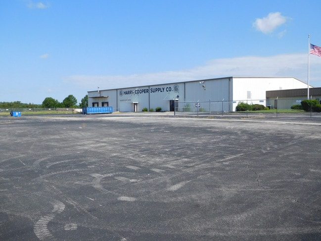


Property Detail
209 Rosewood Dr
08-5.0-16-000-000-012.013
ARTHUR HALL PT PL 1 & 4
Commercialnec
Taney
B and X Area of moderate flood hazard, usually the area between the limits of the 100-year and 500-year floods.
Missouri
2024
2.49 AC
2025
Branson
480207
Other Market Areas
36,400 SF
Branson, MO
NEARBY LISTINGS FOR SALE OR LEASE
-
-
View all Branson listings for sale on LoopNet.com
DEMOGRAPHICS near 209 Rosewood Dr
1 mile
3 mile
5 mile
2025 Total Population
1,511
9,870
27,791
2030 Population
1,483
9,699
27,509
Pop Growth 2025-2030
(1.85%)
(1.73%)
(1.01%)
Average Age
40
41
40
2025 Total Households
616
4,036
10,846
HH Growth 2025-2030
(1.95%)
(1.68%)
(1.04%)
Median Household Inc
$67,027
$64,641
$60,725
Avg Household Size
2.40
2.40
2.40
2025 Avg HH Vehicles
1.00
2.00
2.00
Median Home Value
$255,238
$270,099
$232,014
Median Year Built
1998
1997
1994
Nearby Places
Map Layers
Map Styles
 Street
 Aerial
Layers
 Traffic
 Biking
Places
Listings with unknown addresses are not visible on the map
- Restaurants
- Banks
- Shops
- Fitness
- Groceries
SALE & LEASE HISTORY
LISTING DATE
SALE/LEASE

Sep 05, 2018
For Lease
May 02, 2024
For Sale
Mar 07, 2019
For Sale
Nearby Properties
Address
Land Use
TOTAL SIZE
Lot Size
Zoning
Address
Land Use
TOTAL SIZE
Lot Size
Zoning
50,417 SF
17.43 AC
Address
Land Use
TOTAL SIZE
Lot Size
Zoning
66,272 SF
7.83 AC
Address
Land Use
TOTAL SIZE
Lot Size
Zoning
59,939 SF
15.76 AC
Address
Land Use
TOTAL SIZE
Lot Size
Zoning
123,377 SF
13.05 AC
Address
Land Use
TOTAL SIZE
Lot Size
Zoning
271.32 AC
Address
Land Use
TOTAL SIZE
Lot Size
Zoning
63,890 SF
14.45 AC
Address
Land Use
TOTAL SIZE
Lot Size
Zoning
104,868 SF
13.61 AC
Address
Land Use
TOTAL SIZE
Lot Size
Zoning
19,872 SF
2.97 AC
Address
Land Use
TOTAL SIZE
Lot Size
Zoning
167.53 AC
Address
Land Use
TOTAL SIZE
Lot Size
Zoning
25,760 SF
6.47 AC
Address
Land Use
TOTAL SIZE
Lot Size
Zoning
24,176 SF
10.28 AC
Address
Land Use
TOTAL SIZE
Lot Size
Zoning
48,182 SF
15 AC
Address
Land Use
TOTAL SIZE
Lot Size
Zoning
44,871 SF
4.57 AC
Address
Land Use
TOTAL SIZE
Lot Size
Zoning
18,308 SF
2.59 AC
Address
Land Use
TOTAL SIZE
Lot Size
Zoning
1,804,046 SF
23.86 AC
Address
Land Use
TOTAL SIZE
Lot Size
Zoning
34,856 SF
15.68 AC
Address
Land Use
TOTAL SIZE
Lot Size
Zoning
15,605 SF
3.13 AC
Address
Land Use
TOTAL SIZE
Lot Size
Zoning
33,184 SF
16.14 AC
Address
Land Use
TOTAL SIZE
Lot Size
Zoning
71,120 SF
43.42 AC
Address
Land Use
TOTAL SIZE
Lot Size
Zoning
68,610 SF
5.04 AC
Address
Land Use
TOTAL SIZE
Lot Size
Zoning
24,578 SF
16.15 AC
Address
Land Use
TOTAL SIZE
Lot Size
Zoning
15,915 SF
4.47 AC
Address
Land Use
TOTAL SIZE
Lot Size
Zoning
17,730 SF
1.72 AC
Address
Land Use
TOTAL SIZE
Lot Size
Zoning
81.50 AC
Address
Land Use
TOTAL SIZE
Lot Size
Zoning
62,120 SF
4.47 AC
Address
Land Use
TOTAL SIZE
Lot Size
Zoning
59,636 SF
4.44 AC
Address
Land Use
TOTAL SIZE
Lot Size
Zoning
41.50 AC
Address
Land Use
TOTAL SIZE
Lot Size
Zoning
21,011 SF
1.69 AC
Address
Land Use
TOTAL SIZE
Lot Size
Zoning
9,844 SF
11.51 AC
The World's #1 Commercial Real Estate Marketplace
Connect with us
© 2026 CoStar Group
The information above has been obtained from sources believed reliable. While we do not doubt its accuracy we have not verified it and make no guarantee, warranty or representation about it. It is your responsibility to independently confirm its accuracy and completeness. Any projections, opinions, assumptions, or estimates used are for example only and do not represent the current or future performance of the property. The value of this transaction to you depends on tax and other factors which should be evaluated by your tax, financial, and legal advisors. You and your advisors should conduct a careful, independent investigation of the property to determine to your satisfaction the suitability of the property for your needs.