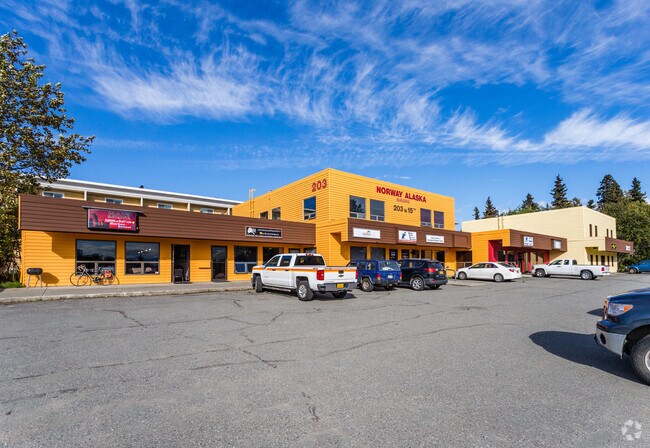
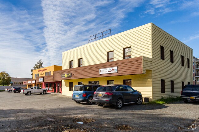
Property Record
209 W 15Th Ave, Anchorage, AK 99501
NEARBY LISTINGS FOR SALE OR LEASE
Property Detail
209 W 15Th Ave
Anchorage, AK
Third Addition
00215250000
THIRD ADDITION BLK 31D LT 9B
Officebuilding
Anchorage
X
Alaska
0200050734D
9b
2024
0.48 AC
2025
Downtown-5
001000
Anchorage
10,355 SF
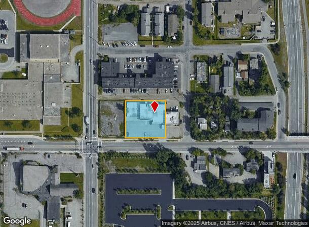
DEMOGRAPHICS near 209 W 15Th Ave
1 Mile
3 Mile
5 Mile
2024 Total Population
18,970
79,074
163,883
2029 Population
18,837
78,188
161,840
Pop Growth 2024-2029
(0.70%)
(1.12%)
(1.25%)
Average Age
40
38
37
2024 Total Households
8,619
32,634
63,942
HH Growth 2024-2029
(0.70%)
(1.14%)
(1.30%)
Median Household Inc
$65,723
$70,993
$76,270
Avg Household Size
1.90
2.20
2.40
2024 Avg HH Vehicles
1.00
2.00
2.00
Median Home Value
$393,413
$312,913
$306,965
Median Year Built
1974
1975
1978
Nearby Places
Map Layers
Map Styles
 Street
 Aerial
- Restaurants
- Banks
- Shops
- Fitness
- Groceries
PUBLIC TRANSPORTATION
AIRPORT
Merrill Field
DRIVE
WALK
Distance
Merrill Field
7 min
2.6 mi
Ted Stevens Anchorage International
DRIVE
WALK
Distance
Ted Stevens Anchorage International
12 min
5.8 mi
Freight Ports
Port of Anchorage
DRIVE
WALK
Distance
Port of Anchorage
8 min
2.6 mi
Nearby Properties
Address
Land Use
TOTAL SIZE
Lot Size
Zoning
Address
Land Use
TOTAL SIZE
Lot Size
Zoning
658,690 SF
70.86 AC
PLI
Address
Land Use
TOTAL SIZE
Lot Size
Zoning
22,362 SF
71.05 AC
PLI
Address
Land Use
TOTAL SIZE
Lot Size
Zoning
181,492 SF
1.70 AC
B2B
Address
Land Use
TOTAL SIZE
Lot Size
Zoning
14,009 SF
24.86 AC
PLI
Address
Land Use
TOTAL SIZE
Lot Size
Zoning
199,186 SF
2.11 AC
B2B
Address
Land Use
TOTAL SIZE
Lot Size
Zoning
160,830 SF
41.64 AC
PLI
Address
Land Use
TOTAL SIZE
Lot Size
Zoning
127,232 SF
4.55 AC
B2B
Address
Land Use
TOTAL SIZE
Lot Size
Zoning
171,692 SF
23.09 AC
I1
Address
Land Use
TOTAL SIZE
Lot Size
Zoning
33,906 SF
40 AC
PLI
Address
Land Use
TOTAL SIZE
Lot Size
Zoning
117,702 SF
9.85 AC
B3SL
Address
Land Use
TOTAL SIZE
Lot Size
Zoning
134,626 SF
16.91 AC
PLI
Address
Land Use
TOTAL SIZE
Lot Size
Zoning
87,865 SF
0.48 AC
B2B
Address
Land Use
TOTAL SIZE
Lot Size
Zoning
195,079 SF
44.79 AC
PLI
Address
Land Use
TOTAL SIZE
Lot Size
Zoning
181,000 SF
7.54 AC
PLI
Address
Land Use
TOTAL SIZE
Lot Size
Zoning
86,316 SF
2 AC
B2B
Address
Land Use
TOTAL SIZE
Lot Size
Zoning
61,127 SF
3.04 AC
B3
Address
Land Use
TOTAL SIZE
Lot Size
Zoning
179,543 SF
26.03 AC
PLI
Address
Land Use
TOTAL SIZE
Lot Size
Zoning
121,359 SF
4.35 AC
B3SL
Address
Land Use
TOTAL SIZE
Lot Size
Zoning
120,000 SF
9.09 AC
PLI
Address
Land Use
TOTAL SIZE
Lot Size
Zoning
47,774 SF
1.61 AC
B2B
Address
Land Use
TOTAL SIZE
Lot Size
Zoning
36,837 SF
0.80 AC
B2B
Address
Land Use
TOTAL SIZE
Lot Size
Zoning
124,058 SF
18.15 AC
B3
Address
Land Use
TOTAL SIZE
Lot Size
Zoning
133,758 SF
2.36 AC
ROSL
Address
Land Use
TOTAL SIZE
Lot Size
Zoning
56,747 SF
6.89 AC
B3SL
Address
Land Use
TOTAL SIZE
Lot Size
Zoning
33,360 SF
0.96 AC
B2B
Address
Land Use
TOTAL SIZE
Lot Size
Zoning
66,354 SF
44.23 AC
I2
Address
Land Use
TOTAL SIZE
Lot Size
Zoning
320,366 SF
36.42 AC
PLI
Address
Land Use
TOTAL SIZE
Lot Size
Zoning
7,711 SF
1.93 AC
B2A
Address
Land Use
TOTAL SIZE
Lot Size
Zoning
242,189 SF
21.83 AC
I2
Address
Land Use
TOTAL SIZE
Lot Size
Zoning
84,157 SF
3.41 AC
B3
The World's #1 Commercial Real Estate Marketplace
Connect with us
© 2025 CoStar Group
The information above has been obtained from sources believed reliable. While we do not doubt its accuracy we have not verified it and make no guarantee, warranty or representation about it. It is your responsibility to independently confirm its accuracy and completeness. Any projections, opinions, assumptions, or estimates used are for example only and do not represent the current or future performance of the property. The value of this transaction to you depends on tax and other factors which should be evaluated by your tax, financial, and legal advisors. You and your advisors should conduct a careful, independent investigation of the property to determine to your satisfaction the suitability of the property for your needs.