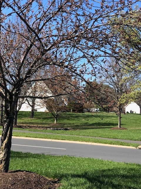
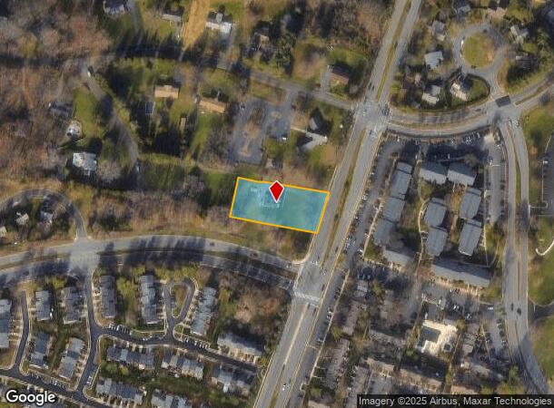
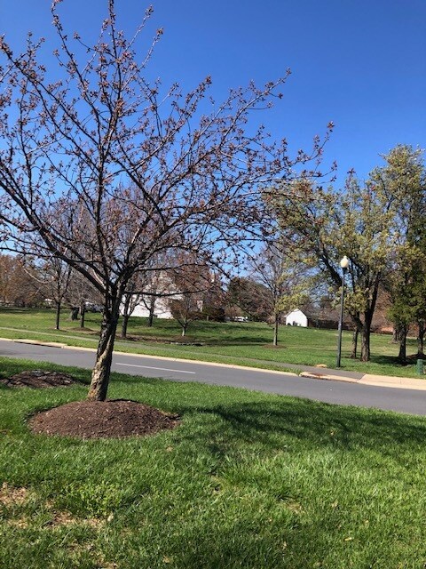
Property Record
20935 Potomac View Rd, Sterling, VA 20165
Current Lease Availabilities
NEARBY LISTINGS FOR SALE OR LEASE
Property Detail
20935 Potomac View Rd
Washington-Arlington-Alexandria, DC-VA-MD-WV
Jefferson Knolls
012-35-1065
JEFFERSON KNOLLS LOT 19A 1835--676
Sfr
Loudoun
X
Virginia
51107C0267E
19a
2025
0.96 AC
2025
Route 28 Corridor North
611207
Washington, DC
1,812 SF
DEMOGRAPHICS near 20935 Potomac View Rd
1 mile
3 mile
5 mile
2024 Total Population
20,284
84,869
166,219
2029 Population
21,713
90,388
174,117
Pop Growth 2024-2029
+ 7.04%
+ 6.50%
+ 4.75%
Average Age
39
39
40
2024 Total Households
6,596
27,915
57,896
HH Growth 2024-2029
+ 7.22%
+ 6.71%
+ 4.93%
Median Household Inc
$135,298
$138,497
$138,925
Avg Household Size
3.00
2.90
2.80
2024 Avg HH Vehicles
2.00
2.00
2.00
Median Home Value
$538,446
$596,976
$636,092
Median Year Built
1991
1989
1990
Nearby Places
Map Layers
Map Styles
 Street
 Aerial
Transit
 Traffic
 Biking
Places
Listings with unknown addresses are not visible on the map
- Restaurants
- Banks
- Shops
- Fitness
- Groceries
PUBLIC TRANSPORTATION
AIRPORT
Washington Dulles International
Drive
Walk
Distance
Washington Dulles International
20 min
10.6 mi
Ronald Reagan Washington Ntl
Drive
Walk
Distance
Ronald Reagan Washington Ntl
45 min
28.2 mi
Freight Ports
Port of Baltimore
Drive
Walk
Distance
Port of Baltimore
82 min
60.0 mi
Nearby Properties
Address
Land Use
TOTAL SIZE
Lot Size
Zoning
Address
Land Use
TOTAL SIZE
Lot Size
Zoning
650,346 SF
PDMUB
Address
Land Use
TOTAL SIZE
Lot Size
Zoning
154,125 SF
9.68 AC
PDIP
Address
Land Use
TOTAL SIZE
Lot Size
Zoning
169,092 SF
PDMUB
Address
Land Use
TOTAL SIZE
Lot Size
Zoning
219,514 SF
14.34 AC
PDIP
Address
Land Use
TOTAL SIZE
Lot Size
Zoning
426,710 SF
19.50 AC
PDIP
Address
Land Use
TOTAL SIZE
Lot Size
Zoning
430,507 SF
25.60 AC
R16
Address
Land Use
TOTAL SIZE
Lot Size
Zoning
396,198 SF
5.84 AC
PDMUB
Address
Land Use
TOTAL SIZE
Lot Size
Zoning
383,257 SF
33.05 AC
PDH4
Address
Land Use
TOTAL SIZE
Lot Size
Zoning
364,146 SF
38.05 AC
CCSC
Address
Land Use
TOTAL SIZE
Lot Size
Zoning
498,598 SF
21.89 AC
R16
Address
Land Use
TOTAL SIZE
Lot Size
Zoning
316,325 SF
18.08 AC
R16
Address
Land Use
TOTAL SIZE
Lot Size
Zoning
296,380 SF
24.36 AC
PDIP
Address
Land Use
TOTAL SIZE
Lot Size
Zoning
404,709 SF
18.57 AC
R24
Address
Land Use
TOTAL SIZE
Lot Size
Zoning
408,760 SF
87.24 AC
R1
Address
Land Use
TOTAL SIZE
Lot Size
Zoning
680,252 SF
19.23 AC
R16
Address
Land Use
TOTAL SIZE
Lot Size
Zoning
258,716 SF
10.62 AC
PDOP
Address
Land Use
TOTAL SIZE
Lot Size
Zoning
258,716 SF
13.65 AC
PDOP
Address
Land Use
TOTAL SIZE
Lot Size
Zoning
258,716 SF
12.54 AC
PDOP
Address
Land Use
TOTAL SIZE
Lot Size
Zoning
308,805 SF
34.45 AC
PDCCRC
Address
Land Use
TOTAL SIZE
Lot Size
Zoning
177,571 SF
16.23 AC
R16
Address
Land Use
TOTAL SIZE
Lot Size
Zoning
135,513 SF
8.49 AC
PDIP
Address
Land Use
TOTAL SIZE
Lot Size
Zoning
287,050 SF
11.05 AC
R24
Address
Land Use
TOTAL SIZE
Lot Size
Zoning
1,026,767 SF
71 AC
PDSC
Address
Land Use
TOTAL SIZE
Lot Size
Zoning
147,006 SF
PDTC
Address
Land Use
TOTAL SIZE
Lot Size
Zoning
110,535 SF
348.88 AC
R1
Address
Land Use
TOTAL SIZE
Lot Size
Zoning
251,859 SF
40 AC
R1
Address
Land Use
TOTAL SIZE
Lot Size
Zoning
31.82 AC
PDTC
Address
Land Use
TOTAL SIZE
Lot Size
Zoning
172,964 SF
8.02 AC
R24
Address
Land Use
TOTAL SIZE
Lot Size
Zoning
232,644 SF
62.50 AC
PDH4
The World's #1 Commercial Real Estate Marketplace
Connect with us
© 2026 CoStar Group
The information above has been obtained from sources believed reliable. While we do not doubt its accuracy we have not verified it and make no guarantee, warranty or representation about it. It is your responsibility to independently confirm its accuracy and completeness. Any projections, opinions, assumptions, or estimates used are for example only and do not represent the current or future performance of the property. The value of this transaction to you depends on tax and other factors which should be evaluated by your tax, financial, and legal advisors. You and your advisors should conduct a careful, independent investigation of the property to determine to your satisfaction the suitability of the property for your needs.