Property Record
21 Se Sr 21, Melrose, FL 32666
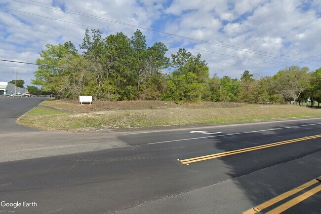


Property Detail
21 Se Sr 21
06003-A-01503
25 8S 22 COM NW COR OF SW1/4. THENCE S89*26'12"E 1356.03', THENCE S00*03'24"W 2007.48', THENCE S89*49'15"E 450', S00*03'24"E 65', S89*49'15"E 372.06' TO POB. S89*49'15"E 466.45', RUN S25*50'27"W 202', N64*09'33"W 420.44' TO POB.
Vacantlandnec
BRADFORD
B and X Area of moderate flood hazard, usually the area between the limits of the 100-year and 500-year floods.
Florida
2025
0.97 AC
2025
Florida Central North Area
950300
Other Market Areas
NEARBY LISTINGS FOR SALE OR LEASE
DEMOGRAPHICS near 21 Se Sr 21
1 mile
3 mile
5 mile
2025 Total Population
1,063
9,490
18,330
2030 Population
1,155
10,339
19,927
Pop Growth 2025-2030
+ 8.65%
+ 8.95%
+ 8.71%
Average Age
47
44
45
2025 Total Households
464
3,899
7,541
HH Growth 2025-2030
+ 7.76%
+ 8.85%
+ 8.74%
Median Household Inc
$75,481
$72,245
$69,313
Avg Household Size
2.30
2.40
2.40
2025 Avg HH Vehicles
2.00
2.00
2.00
Median Home Value
$392,753
$342,073
$285,452
Median Year Built
1983
1981
1984
Nearby Places
Map Layers
Map Styles
 Street
 Aerial
Layers
 Traffic
 Biking
Places
Listings with unknown addresses are not visible on the map
- Restaurants
- Banks
- Shops
- Fitness
- Groceries
PUBLIC TRANSPORTATION
AIRPORT
Gainesville Regional
Drive
Walk
Distance
Gainesville Regional
31 min
19.7 mi
Freight Ports
Jacksonville Port
Drive
Walk
Distance
Jacksonville Port
88 min
62.7 mi
SALE & LEASE HISTORY
LISTING DATE
SALE/LEASE

Mar 08, 2021
For Sale
Apr 24, 2023
For Sale
Apr 22, 2025
For Sale
Nearby Properties
Address
Land Use
TOTAL SIZE
Lot Size
Zoning
Address
Land Use
TOTAL SIZE
Lot Size
Zoning
23,953 SF
228.32 AC
Address
Land Use
TOTAL SIZE
Lot Size
Zoning
56,278 SF
39.66 AC
Address
Land Use
TOTAL SIZE
Lot Size
Zoning
68,670 SF
10 AC
Address
Land Use
TOTAL SIZE
Lot Size
Zoning
116,370 SF
23.88 AC
PS-5
Address
Land Use
TOTAL SIZE
Lot Size
Zoning
52,626 SF
28.21 AC
Address
Land Use
TOTAL SIZE
Lot Size
Zoning
61,803 SF
18.29 AC
Address
Land Use
TOTAL SIZE
Lot Size
Zoning
60,351 SF
11.59 AC
Address
Land Use
TOTAL SIZE
Lot Size
Zoning
42,928 SF
4.69 AC
Address
Land Use
TOTAL SIZE
Lot Size
Zoning
26,203 SF
0.80 AC
Address
Land Use
TOTAL SIZE
Lot Size
Zoning
43,696 SF
14.90 AC
Address
Land Use
TOTAL SIZE
Lot Size
Zoning
14,736 SF
2.13 AC
Address
Land Use
TOTAL SIZE
Lot Size
Zoning
8,266 SF
1.20 AC
Address
Land Use
TOTAL SIZE
Lot Size
Zoning
13,000 SF
2.24 AC
RB
Address
Land Use
TOTAL SIZE
Lot Size
Zoning
10,115 SF
0.92 AC
PO-1
Address
Land Use
TOTAL SIZE
Lot Size
Zoning
33,258 SF
5.34 AC
Address
Land Use
TOTAL SIZE
Lot Size
Zoning
25,442 SF
36.61 AC
Address
Land Use
TOTAL SIZE
Lot Size
Zoning
2,485 SF
2.43 AC
Address
Land Use
TOTAL SIZE
Lot Size
Zoning
4,625 SF
1.84 AC
Address
Land Use
TOTAL SIZE
Lot Size
Zoning
3,133 SF
1.65 AC
Address
Land Use
TOTAL SIZE
Lot Size
Zoning
7,532 SF
1.06 AC
Address
Land Use
TOTAL SIZE
Lot Size
Zoning
20,001 SF
1.47 AC
Address
Land Use
TOTAL SIZE
Lot Size
Zoning
4,031 SF
0.34 AC
BA
Address
Land Use
TOTAL SIZE
Lot Size
Zoning
15,800 SF
2.47 AC
Address
Land Use
TOTAL SIZE
Lot Size
Zoning
1,782 SF
1.09 AC
Address
Land Use
TOTAL SIZE
Lot Size
Zoning
9,146 SF
1.52 AC
Address
Land Use
TOTAL SIZE
Lot Size
Zoning
7,360 SF
0.84 AC
Address
Land Use
TOTAL SIZE
Lot Size
Zoning
16,965 SF
5.64 AC
Address
Land Use
TOTAL SIZE
Lot Size
Zoning
5,600 SF
8.48 AC
Address
Land Use
TOTAL SIZE
Lot Size
Zoning
5,724 SF
17.26 AC
A
Address
Land Use
TOTAL SIZE
Lot Size
Zoning
8,320 SF
1.01 AC
CG
The World's #1 Commercial Real Estate Marketplace
Connect with us
© 2026 CoStar Group
The information above has been obtained from sources believed reliable. While we do not doubt its accuracy we have not verified it and make no guarantee, warranty or representation about it. It is your responsibility to independently confirm its accuracy and completeness. Any projections, opinions, assumptions, or estimates used are for example only and do not represent the current or future performance of the property. The value of this transaction to you depends on tax and other factors which should be evaluated by your tax, financial, and legal advisors. You and your advisors should conduct a careful, independent investigation of the property to determine to your satisfaction the suitability of the property for your needs.