Property Record
2100 120Th Ave Ne, Bellevue, WA 98005


NEARBY LISTINGS FOR SALE OR LEASE
-
-
View all Bellevue listings for sale on LoopNet.com
Property Detail
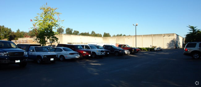
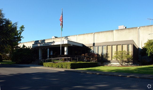
2100 120Th Ave Ne
Seattle-Tacoma-Bellevue, WA
Ft Fr Se Cor Of Subd
282505-9182
POR S 1/2 OF NW 1/4 BEG N 00-42-15 E 761.50 FT & N 88-20-55 W 1346.50 FT FR SE COR OF SUBD TH N 01-09-43 E 285.25 FT TH N 88-50-17 W 605.86 FT TH S 20-09-51 E 667.65 FT TH SLY ALG CURVE TO LFT HAVING RAD 409.30 FT AN ARC DIST 241 FT TH S 36-05-58 W 1
Railroadfacility
King
X
Washington
53033C0368G
282505
2021
10.31 AC
2024
Bellevue
023702
Seattle/Puget Sound
164,825 SF
DEMOGRAPHICS near 2100 120Th Ave Ne
1 Mile
3 Mile
5 Mile
2024 Total Population
15,818
122,711
260,497
2029 Population
16,204
125,072
264,364
Pop Growth 2024-2029
+ 2.44%
+ 1.92%
+ 1.48%
Average Age
40
38
39
2024 Total Households
7,977
52,926
108,413
HH Growth 2024-2029
+ 2.47%
+ 2.03%
+ 1.58%
Median Household Inc
$165,592
$148,743
$154,317
Avg Household Size
1.90
2.20
2.30
2024 Avg HH Vehicles
1.00
2.00
2.00
Median Home Value
$1,098,595
$1,076,494
$1,065,358
Median Year Built
2000
1987
1984
Nearby Places
Map Layers
Map Styles
 Street
 Aerial
- Restaurants
- Banks
- Shops
- Fitness
- Groceries
PUBLIC TRANSPORTATION
TRANSIT/SUBWAY
Spring District (South Bellevue - Redmond Tech - Sound Transit)
DRIVE
WALK
Distance
Spring District (South Bellevue - Redmond Tech - Sound Transit)
1 min
8 min
0.5 mi
Wilburton (South Bellevue - Redmond Tech - Sound Transit)
DRIVE
WALK
Distance
Wilburton (South Bellevue - Redmond Tech - Sound Transit)
4 min
20 min
1.1 mi
Belred (South Bellevue - Redmond Tech - Sound Transit)
DRIVE
WALK
Distance
Belred (South Bellevue - Redmond Tech - Sound Transit)
2 min
20 min
1.1 mi
AIRPORT
Seattle-Tacoma International
DRIVE
WALK
Distance
Seattle-Tacoma International
29 min
18.3 mi
Seattle Paine Field International
DRIVE
WALK
Distance
Seattle Paine Field International
33 min
22.9 mi
Freight Ports
Port of Seattle
DRIVE
WALK
Distance
Port of Seattle
24 min
15.2 mi
Nearby Properties
Address
Land Use
TOTAL SIZE
Lot Size
Zoning
Address
Land Use
TOTAL SIZE
Lot Size
Zoning
6,575 SF
2.03 AC
DNTNO-1
Address
Land Use
TOTAL SIZE
Lot Size
Zoning
629,600 SF
2.62 AC
DNTN-MU
Address
Land Use
TOTAL SIZE
Lot Size
Zoning
482,658 SF
5.78 AC
BR-CR
Address
Land Use
TOTAL SIZE
Lot Size
Zoning
218,371 SF
16.41 AC
DNTN-MU
Address
Land Use
TOTAL SIZE
Lot Size
Zoning
521,058 SF
2.46 AC
DT-O-2-S
Address
Land Use
TOTAL SIZE
Lot Size
Zoning
5,500 SF
1.77 AC
DT-O-2-N
Address
Land Use
TOTAL SIZE
Lot Size
Zoning
397,428 SF
2.48 AC
DT-O-2-N
Address
Land Use
TOTAL SIZE
Lot Size
Zoning
786,424 SF
1.54 AC
DT-O-2-N
Address
Land Use
TOTAL SIZE
Lot Size
Zoning
574,970 SF
1.72 AC
DNTNO-1
Address
Land Use
TOTAL SIZE
Lot Size
Zoning
781,977 SF
1.32 AC
DT-O-2-S
Address
Land Use
TOTAL SIZE
Lot Size
Zoning
723,028 SF
1.73 AC
DNTNO-1
Address
Land Use
TOTAL SIZE
Lot Size
Zoning
331,098 SF
1.50 AC
DNTN-MU
Address
Land Use
TOTAL SIZE
Lot Size
Zoning
538,017 SF
0.91 AC
DNTNO-1
Address
Land Use
TOTAL SIZE
Lot Size
Zoning
105,056 SF
15.92 AC
PLA 15A
Address
Land Use
TOTAL SIZE
Lot Size
Zoning
372,228 SF
1.04 AC
DT-O-2-S
Address
Land Use
TOTAL SIZE
Lot Size
Zoning
134,200 SF
4.04 AC
DT-OLB-N
Address
Land Use
TOTAL SIZE
Lot Size
Zoning
976,392 SF
0.88 AC
DNTNO-1
Address
Land Use
TOTAL SIZE
Lot Size
Zoning
146,798 SF
19.63 AC
OBAT
Address
Land Use
TOTAL SIZE
Lot Size
Zoning
783,546 SF
0.92 AC
DNTNO-1
Address
Land Use
TOTAL SIZE
Lot Size
Zoning
353,024 SF
3.19 AC
OV
Address
Land Use
TOTAL SIZE
Lot Size
Zoning
265,300 SF
1.91 AC
DNTN-OB
Address
Land Use
TOTAL SIZE
Lot Size
Zoning
424,532 SF
30.49 AC
OUMF
Address
Land Use
TOTAL SIZE
Lot Size
Zoning
672,713 SF
1.31 AC
DNTNO-1
Address
Land Use
TOTAL SIZE
Lot Size
Zoning
18,398 SF
1.45 AC
DNTNO-1
Address
Land Use
TOTAL SIZE
Lot Size
Zoning
695,328 SF
4.81 AC
DT-O-2-E
Address
Land Use
TOTAL SIZE
Lot Size
Zoning
10,500 SF
2.33 AC
BR-RC-2
Address
Land Use
TOTAL SIZE
Lot Size
Zoning
726,000 SF
1.66 AC
DNTNO-1
Address
Land Use
TOTAL SIZE
Lot Size
Zoning
188,062 SF
0.91 AC
DNTN-MU
Address
Land Use
TOTAL SIZE
Lot Size
Zoning
2.25 AC
DNTNO-1
Address
Land Use
TOTAL SIZE
Lot Size
Zoning
27,900 SF
4.02 AC
DNTNO-1
The World's #1 Commercial Real Estate Marketplace
Connect with us
© 2026 CoStar Group
The information above has been obtained from sources believed reliable. While we do not doubt its accuracy we have not verified it and make no guarantee, warranty or representation about it. It is your responsibility to independently confirm its accuracy and completeness. Any projections, opinions, assumptions, or estimates used are for example only and do not represent the current or future performance of the property. The value of this transaction to you depends on tax and other factors which should be evaluated by your tax, financial, and legal advisors. You and your advisors should conduct a careful, independent investigation of the property to determine to your satisfaction the suitability of the property for your needs.