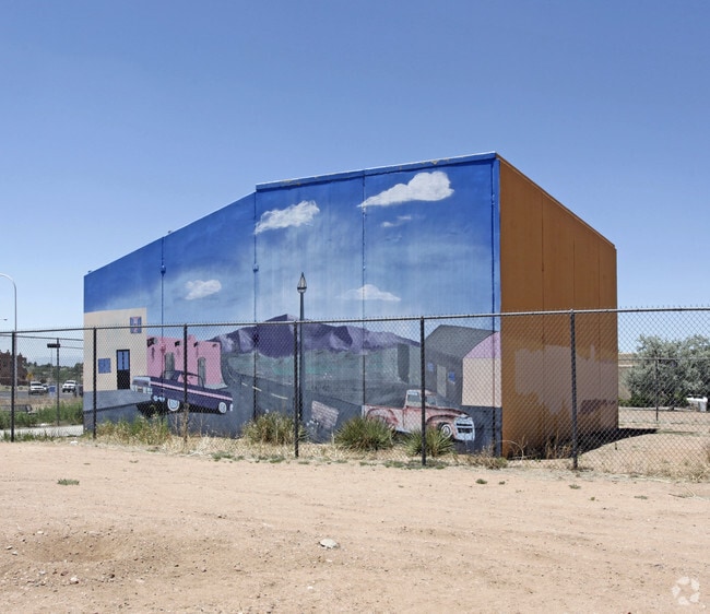
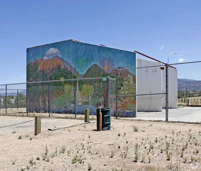
Property Record
2100 Yucca St, Santa Fe, NM 87505
NEARBY LISTINGS FOR SALE OR LEASE
Property Detail
2100 Yucca St
910000821
T16N R 9E S 3 SANTA FE HIGHSCHOOL
Commercialnec
Santa Fe
AE
New Mexico
35049C0413E
130.13 AC
0
Southwest Santa Fe
2025
Other Market Areas
001105
Santa Fe, NM
DEMOGRAPHICS near 2100 Yucca St
1 Mile
3 Mile
5 Mile
2024 Total Population
12,484
55,300
98,672
2029 Population
12,787
56,498
101,376
Pop Growth 2024-2029
+ 2.43%
+ 2.17%
+ 2.74%
Average Age
45
47
46
2024 Total Households
5,968
26,691
44,820
HH Growth 2024-2029
+ 2.38%
+ 2.21%
+ 2.77%
Median Household Inc
$57,133
$64,175
$68,415
Avg Household Size
2.00
2.00
2.10
2024 Avg HH Vehicles
2.00
2.00
2.00
Median Home Value
$301,688
$360,549
$380,732
Median Year Built
1980
1982
1987
Nearby Places
Map Layers
Map Styles
 Street
 Aerial
- Restaurants
- Banks
- Shops
- Fitness
- Groceries
PUBLIC TRANSPORTATION
COMMUTER RAIL
Zia Road Rail Runner Station (NMRX - Rio Metro Regional Transit District)
DRIVE
WALK
Distance
Zia Road Rail Runner Station (NMRX - Rio Metro Regional Transit District)
6 min
1.6 mi
Zia Road (Rail Runner Express - New Mexico Rail Runner Express)
DRIVE
WALK
Distance
Zia Road (Rail Runner Express - New Mexico Rail Runner Express)
6 min
1.7 mi
AIRPORT
Santa Fe Regional
DRIVE
WALK
Distance
Santa Fe Regional
18 min
7.8 mi
Freight Ports
Tulsa Port Of Catoosa
DRIVE
WALK
Distance
Tulsa Port Of Catoosa
688 min
654.4 mi
Nearby Properties
Address
Land Use
TOTAL SIZE
Lot Size
Zoning
Address
Land Use
TOTAL SIZE
Lot Size
Zoning
103.78 AC
Address
Land Use
TOTAL SIZE
Lot Size
Zoning
Address
Land Use
TOTAL SIZE
Lot Size
Zoning
Address
Land Use
TOTAL SIZE
Lot Size
Zoning
0.80 AC
Address
Land Use
TOTAL SIZE
Lot Size
Zoning
Address
Land Use
TOTAL SIZE
Lot Size
Zoning
17.18 AC
Address
Land Use
TOTAL SIZE
Lot Size
Zoning
21.49 AC
Address
Land Use
TOTAL SIZE
Lot Size
Zoning
40.65 AC
Address
Land Use
TOTAL SIZE
Lot Size
Zoning
7.32 AC
Address
Land Use
TOTAL SIZE
Lot Size
Zoning
Address
Land Use
TOTAL SIZE
Lot Size
Zoning
Address
Land Use
TOTAL SIZE
Lot Size
Zoning
26.30 AC
Address
Land Use
TOTAL SIZE
Lot Size
Zoning
1.08 AC
Address
Land Use
TOTAL SIZE
Lot Size
Zoning
7.30 AC
Address
Land Use
TOTAL SIZE
Lot Size
Zoning
8.02 AC
Address
Land Use
TOTAL SIZE
Lot Size
Zoning
19.93 AC
Address
Land Use
TOTAL SIZE
Lot Size
Zoning
11.98 AC
Address
Land Use
TOTAL SIZE
Lot Size
Zoning
Address
Land Use
TOTAL SIZE
Lot Size
Zoning
19,690 SF
3.29 AC
Address
Land Use
TOTAL SIZE
Lot Size
Zoning
13.79 AC
Address
Land Use
TOTAL SIZE
Lot Size
Zoning
14.18 AC
Address
Land Use
TOTAL SIZE
Lot Size
Zoning
Address
Land Use
TOTAL SIZE
Lot Size
Zoning
7.70 AC
Address
Land Use
TOTAL SIZE
Lot Size
Zoning
25.42 AC
Address
Land Use
TOTAL SIZE
Lot Size
Zoning
Address
Land Use
TOTAL SIZE
Lot Size
Zoning
26.58 AC
Address
Land Use
TOTAL SIZE
Lot Size
Zoning
0.45 AC
Address
Land Use
TOTAL SIZE
Lot Size
Zoning
2,544 SF
6.09 AC
Address
Land Use
TOTAL SIZE
Lot Size
Zoning
20.20 AC
The World's #1 Commercial Real Estate Marketplace
Connect with us
© 2026 CoStar Group
The information above has been obtained from sources believed reliable. While we do not doubt its accuracy we have not verified it and make no guarantee, warranty or representation about it. It is your responsibility to independently confirm its accuracy and completeness. Any projections, opinions, assumptions, or estimates used are for example only and do not represent the current or future performance of the property. The value of this transaction to you depends on tax and other factors which should be evaluated by your tax, financial, and legal advisors. You and your advisors should conduct a careful, independent investigation of the property to determine to your satisfaction the suitability of the property for your needs.