Property Record
2101 E Caulder Ave, Des Moines, IA 50320


Property Detail
2101 E Caulder Ave
010-01940001002
LT 1 & OL Y & NW OF LN BEG 122.66F S OF NE COR THN SWLY TO PT 210.5F E 0F W COR OL Z EVERGREEN PARK
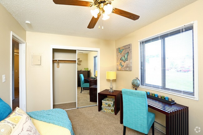
Apartment
Polk
R-6
Iowa
B and X Area of moderate flood hazard, usually the area between the limits of the 100-year and 500-year floods.
1
2024
9.15 AC
2025
Pioneer Park
003902
Des Moines
155,640 SF
Des Moines-West Des Moines, IA
NEARBY LISTINGS FOR SALE OR LEASE
DEMOGRAPHICS near 2101 E Caulder Ave
1 mile
3 mile
5 mile
2025 Total Population
11,217
59,115
146,538
2030 Population
11,631
61,471
153,225
Pop Growth 2025-2030
+ 3.69%
+ 3.99%
+ 4.56%
Average Age
36
37
38
2025 Total Households
4,086
23,146
60,502
HH Growth 2025-2030
+ 3.89%
+ 4.23%
+ 4.93%
Median Household Inc
$71,229
$64,181
$59,720
Avg Household Size
2.60
2.50
2.30
2025 Avg HH Vehicles
2.00
2.00
2.00
Median Home Value
$238,655
$177,802
$185,451
Median Year Built
1984
1974
1971
Nearby Places
Map Layers
Map Styles
 Street
 Aerial
Layers
 Traffic
 Biking
Places
Listings with unknown addresses are not visible on the map
- Restaurants
- Banks
- Shops
- Fitness
- Groceries
PUBLIC TRANSPORTATION
AIRPORT
Des Moines International
Drive
Walk
Distance
Des Moines International
13 min
5.8 mi
Freight Ports
Port Milwaukee
Drive
Walk
Distance
Port Milwaukee
420 min
376.1 mi
Nearby Properties
Address
Land Use
TOTAL SIZE
Lot Size
Zoning
Address
Land Use
TOTAL SIZE
Lot Size
Zoning
177,094 SF
24.60 AC
Address
Land Use
TOTAL SIZE
Lot Size
Zoning
300,115 SF
2.48 AC
Address
Land Use
TOTAL SIZE
Lot Size
Zoning
208,955 SF
1.84 AC
Address
Land Use
TOTAL SIZE
Lot Size
Zoning
475,929 SF
49.86 AC
M2
Address
Land Use
TOTAL SIZE
Lot Size
Zoning
342,000 SF
22.18 AC
Address
Land Use
TOTAL SIZE
Lot Size
Zoning
127,000 SF
1.92 AC
Address
Land Use
TOTAL SIZE
Lot Size
Zoning
117,000 SF
4.02 AC
PUD
Address
Land Use
TOTAL SIZE
Lot Size
Zoning
123,535 SF
0.63 AC
Address
Land Use
TOTAL SIZE
Lot Size
Zoning
162,217 SF
6.32 AC
Address
Land Use
TOTAL SIZE
Lot Size
Zoning
218,593 SF
19.31 AC
M-2
Address
Land Use
TOTAL SIZE
Lot Size
Zoning
274,385 SF
3.83 AC
D-R
Address
Land Use
TOTAL SIZE
Lot Size
Zoning
95,384 SF
3.23 AC
Address
Land Use
TOTAL SIZE
Lot Size
Zoning
118,080 SF
15.76 AC
Address
Land Use
TOTAL SIZE
Lot Size
Zoning
175,854 SF
22.81 AC
Address
Land Use
TOTAL SIZE
Lot Size
Zoning
208,456 SF
14.42 AC
PUD
Address
Land Use
TOTAL SIZE
Lot Size
Zoning
231,168 SF
22.29 AC
PUD
Address
Land Use
TOTAL SIZE
Lot Size
Zoning
1,890,511 SF
39.03 AC
M-2
Address
Land Use
TOTAL SIZE
Lot Size
Zoning
119,899 SF
1.13 AC
Address
Land Use
TOTAL SIZE
Lot Size
Zoning
178,415 SF
13.35 AC
R-6
Address
Land Use
TOTAL SIZE
Lot Size
Zoning
74,760 SF
3.17 AC
Address
Land Use
TOTAL SIZE
Lot Size
Zoning
74,880 SF
0.45 AC
Address
Land Use
TOTAL SIZE
Lot Size
Zoning
201,072 SF
26.81 AC
Address
Land Use
TOTAL SIZE
Lot Size
Zoning
67,080 SF
1.29 AC
Address
Land Use
TOTAL SIZE
Lot Size
Zoning
38.16 AC
PUD
Address
Land Use
TOTAL SIZE
Lot Size
Zoning
160,680 SF
20.08 AC
C-2
Address
Land Use
TOTAL SIZE
Lot Size
Zoning
684,064 SF
2 AC
C-3
Address
Land Use
TOTAL SIZE
Lot Size
Zoning
138,490 SF
10.01 AC
R-6
Address
Land Use
TOTAL SIZE
Lot Size
Zoning
51,965 SF
3.83 AC
C-4
The World's #1 Commercial Real Estate Marketplace
Connect with us
© 2026 CoStar Group
The information above has been obtained from sources believed reliable. While we do not doubt its accuracy we have not verified it and make no guarantee, warranty or representation about it. It is your responsibility to independently confirm its accuracy and completeness. Any projections, opinions, assumptions, or estimates used are for example only and do not represent the current or future performance of the property. The value of this transaction to you depends on tax and other factors which should be evaluated by your tax, financial, and legal advisors. You and your advisors should conduct a careful, independent investigation of the property to determine to your satisfaction the suitability of the property for your needs.