Property Record
2101 General Electric Rd, Bloomington, IL 61704


Save to a Folder
{{folder.Name}}
{{folder.ListingIds.length}} Properties
{{folder.ListingIds.length}} Property
Create a New Folder
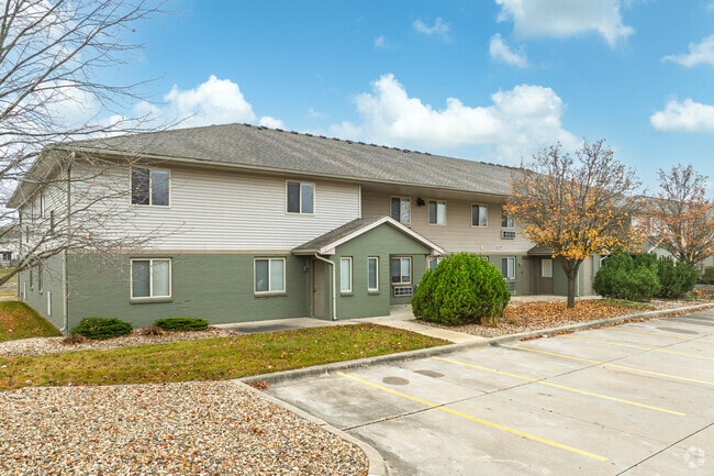
Property Detail
2101 General Electric Rd
Bloomington, IL
THE PONDS LT 1
14-36-201-076
McLean
Commercialnec
Illinois
AE The base floodplain where base flood elevations are provided. AE Zones are now used on new format FIRMs instead of A1-A30 Zones.
1
2022
13.86 AC
2024
Bloomington/Normal
001105
Other Market Areas
197,766 SF
NEARBY LISTINGS FOR SALE OR LEASE
DEMOGRAPHICS near 2101 General Electric Rd
1 mile
3 mile
5 mile
2025 Total Population
11,148
64,356
124,289
2030 Population
10,989
64,133
124,686
Pop Growth 2025-2030
(1.43%)
(0.35%)
+ 0.32%
Average Age
38
38
37
2025 Total Households
4,329
26,546
50,645
HH Growth 2025-2030
(1.32%)
(0.32%)
+ 0.35%
Median Household Inc
$103,053
$90,343
$73,068
Avg Household Size
2.50
2.30
2.20
2025 Avg HH Vehicles
2.00
2.00
2.00
Median Home Value
$269,062
$248,245
$217,505
Median Year Built
1990
1983
1980
Nearby Places
Map Layers
Map Styles
 Street
 Aerial
Layers
 Traffic
 Biking
Places
Listings with unknown addresses are not visible on the map
- Restaurants
- Banks
- Shops
- Fitness
- Groceries
PUBLIC TRANSPORTATION
COMMUTER RAIL
Bloomington-Normal (Lincoln Service - Amtrak, Lincoln Service Missouri River Runner - Amtrak, Texas Eagle - Amtrak)
Drive
Walk
Distance
Bloomington-Normal (Lincoln Service - Amtrak, Lincoln Service Missouri River Runner - Amtrak, Texas Eagle - Amtrak)
8 min
3.2 mi
AIRPORT
Central Il Regional/Bloomington-Normal
Drive
Walk
Distance
Central Il Regional/Bloomington-Normal
8 min
2.6 mi
Freight Ports
Port Milwaukee
Drive
Walk
Distance
Port Milwaukee
240 min
204.0 mi
Nearby Properties
Address
Land Use
TOTAL SIZE
Lot Size
Zoning
Address
Land Use
TOTAL SIZE
Lot Size
Zoning
1,867,780 SF
48.61 AC
Address
Land Use
TOTAL SIZE
Lot Size
Zoning
682,885 SF
44.48 AC
Address
Land Use
TOTAL SIZE
Lot Size
Zoning
562,852 SF
48.94 AC
Address
Land Use
TOTAL SIZE
Lot Size
Zoning
154,502 SF
1.25 AC
Address
Land Use
TOTAL SIZE
Lot Size
Zoning
445,676 SF
20.86 AC
Address
Land Use
TOTAL SIZE
Lot Size
Zoning
426,806 SF
20.93 AC
Address
Land Use
TOTAL SIZE
Lot Size
Zoning
127,569 SF
1.54 AC
Address
Land Use
TOTAL SIZE
Lot Size
Zoning
1,624,618 SF
54.32 AC
Address
Land Use
TOTAL SIZE
Lot Size
Zoning
414,270 SF
13.50 AC
Address
Land Use
TOTAL SIZE
Lot Size
Zoning
333,419 SF
35.07 AC
Address
Land Use
TOTAL SIZE
Lot Size
Zoning
351,208 SF
15.91 AC
Address
Land Use
TOTAL SIZE
Lot Size
Zoning
177,365 SF
11.75 AC
Address
Land Use
TOTAL SIZE
Lot Size
Zoning
123,016 SF
18.52 AC
C-2
Address
Land Use
TOTAL SIZE
Lot Size
Zoning
136,382 SF
9.53 AC
Address
Land Use
TOTAL SIZE
Lot Size
Zoning
16.79 AC
Address
Land Use
TOTAL SIZE
Lot Size
Zoning
423,526 SF
25.35 AC
B-1
Address
Land Use
TOTAL SIZE
Lot Size
Zoning
208,876 SF
20.87 AC
B-1
Address
Land Use
TOTAL SIZE
Lot Size
Zoning
180,144 SF
8.95 AC
Address
Land Use
TOTAL SIZE
Lot Size
Zoning
122,112 SF
7.16 AC
Address
Land Use
TOTAL SIZE
Lot Size
Zoning
276,695 SF
12.68 AC
Address
Land Use
TOTAL SIZE
Lot Size
Zoning
388,851 SF
4.40 AC
Address
Land Use
TOTAL SIZE
Lot Size
Zoning
281,134 SF
8.04 AC
R-3A
Address
Land Use
TOTAL SIZE
Lot Size
Zoning
28,953 SF
1 AC
Address
Land Use
TOTAL SIZE
Lot Size
Zoning
231,077 SF
15.49 AC
Address
Land Use
TOTAL SIZE
Lot Size
Zoning
83.87 AC
Address
Land Use
TOTAL SIZE
Lot Size
Zoning
295,802 SF
14.99 AC
Address
Land Use
TOTAL SIZE
Lot Size
Zoning
62,551 SF
0.42 AC
B-2
Address
Land Use
TOTAL SIZE
Lot Size
Zoning
141,694 SF
5.75 AC
Address
Land Use
TOTAL SIZE
Lot Size
Zoning
139,324 SF
15.78 AC
B-1
The World's #1 Commercial Real Estate Marketplace
Connect with us
© 2026 CoStar Group
The information above has been obtained from sources believed reliable. While we do not doubt its accuracy we have not verified it and make no guarantee, warranty or representation about it. It is your responsibility to independently confirm its accuracy and completeness. Any projections, opinions, assumptions, or estimates used are for example only and do not represent the current or future performance of the property. The value of this transaction to you depends on tax and other factors which should be evaluated by your tax, financial, and legal advisors. You and your advisors should conduct a careful, independent investigation of the property to determine to your satisfaction the suitability of the property for your needs.