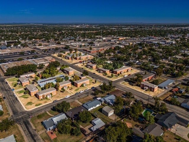
Property Record
212 S Pierce St, San Angelo, TX 76901

NEARBY LISTINGS FOR SALE OR LEASE
Property Detail
212 S Pierce St
40-76800-0085-000-00
Village Condominium
Apartment
SUBD: VILLAGE CONDOMINIUM VILLAGE CONDO 1.010101 % UNIT 212A BLDG Q PS 212AP
X
Tom Green
48451C0480E
Texas
2025
1.03 AC
2025
Texas West Area
001000
Other Market Areas
800 SF
San Angelo, TX
DEMOGRAPHICS near 212 S Pierce St
1 Mile
3 Mile
5 Mile
2024 Total Population
11,579
64,728
98,481
2029 Population
11,399
64,414
97,991
Pop Growth 2024-2029
(1.55%)
(0.49%)
(0.50%)
Average Age
37
38
38
2024 Total Households
4,635
26,493
38,864
HH Growth 2024-2029
(1.66%)
(0.54%)
(0.51%)
Median Household Inc
$61,125
$54,936
$60,879
Avg Household Size
2.40
2.30
2.40
2024 Avg HH Vehicles
2.00
2.00
2.00
Median Home Value
$151,843
$145,366
$157,130
Median Year Built
1956
1971
1976
Nearby Places
Map Layers
Map Styles
 Street
 Aerial
- Restaurants
- Banks
- Shops
- Fitness
- Groceries
PUBLIC TRANSPORTATION
AIRPORT
San Angelo Regional/Mathis Field
DRIVE
WALK
Distance
San Angelo Regional/Mathis Field
16 min
7.9 mi
Freight Ports
Calhoun Port
DRIVE
WALK
Distance
Calhoun Port
398 min
360.0 mi
SALE & LEASE HISTORY
LISTING DATE
SALE/LEASE

Feb 10, 2025
For Sale
Nearby Properties
Address
Land Use
TOTAL SIZE
Lot Size
Zoning
Address
Land Use
TOTAL SIZE
Lot Size
Zoning
187,200 SF
4.01 AC
Address
Land Use
TOTAL SIZE
Lot Size
Zoning
189,402 SF
18.09 AC
Address
Land Use
TOTAL SIZE
Lot Size
Zoning
159,960 SF
8.77 AC
Address
Land Use
TOTAL SIZE
Lot Size
Zoning
203,856 SF
32.06 AC
Address
Land Use
TOTAL SIZE
Lot Size
Zoning
230,352 SF
14.95 AC
Address
Land Use
TOTAL SIZE
Lot Size
Zoning
159,506 SF
9.76 AC
Address
Land Use
TOTAL SIZE
Lot Size
Zoning
171,120 SF
9.46 AC
Address
Land Use
TOTAL SIZE
Lot Size
Zoning
53,850 SF
6.15 AC
Address
Land Use
TOTAL SIZE
Lot Size
Zoning
91,978 SF
8.42 AC
Address
Land Use
TOTAL SIZE
Lot Size
Zoning
251,466 SF
14.08 AC
Address
Land Use
TOTAL SIZE
Lot Size
Zoning
142,715 SF
8.22 AC
Address
Land Use
TOTAL SIZE
Lot Size
Zoning
204,347 SF
25.94 AC
Address
Land Use
TOTAL SIZE
Lot Size
Zoning
149,980 SF
9.42 AC
Address
Land Use
TOTAL SIZE
Lot Size
Zoning
147,240 SF
8.91 AC
Address
Land Use
TOTAL SIZE
Lot Size
Zoning
164,896 SF
11.83 AC
Address
Land Use
TOTAL SIZE
Lot Size
Zoning
196,559 SF
20.89 AC
Address
Land Use
TOTAL SIZE
Lot Size
Zoning
149,516 SF
7.40 AC
Address
Land Use
TOTAL SIZE
Lot Size
Zoning
176,654 SF
21.57 AC
Address
Land Use
TOTAL SIZE
Lot Size
Zoning
149,703 SF
8.53 AC
Address
Land Use
TOTAL SIZE
Lot Size
Zoning
36,000 SF
6.42 AC
Address
Land Use
TOTAL SIZE
Lot Size
Zoning
320,000 SF
21.48 AC
Address
Land Use
TOTAL SIZE
Lot Size
Zoning
242,426 SF
9.04 AC
Address
Land Use
TOTAL SIZE
Lot Size
Zoning
58,282 SF
5.19 AC
Address
Land Use
TOTAL SIZE
Lot Size
Zoning
141,720 SF
7.56 AC
Address
Land Use
TOTAL SIZE
Lot Size
Zoning
122,320 SF
6 AC
Address
Land Use
TOTAL SIZE
Lot Size
Zoning
Address
Land Use
TOTAL SIZE
Lot Size
Zoning
100,352 SF
7.31 AC
Address
Land Use
TOTAL SIZE
Lot Size
Zoning
24,570 SF
16 AC
Address
Land Use
TOTAL SIZE
Lot Size
Zoning
44,310 SF
2.26 AC
Address
Land Use
TOTAL SIZE
Lot Size
Zoning
69,300 SF
3.04 AC
The World's #1 Commercial Real Estate Marketplace
Connect with us
© 2025 CoStar Group
The information above has been obtained from sources believed reliable. While we do not doubt its accuracy we have not verified it and make no guarantee, warranty or representation about it. It is your responsibility to independently confirm its accuracy and completeness. Any projections, opinions, assumptions, or estimates used are for example only and do not represent the current or future performance of the property. The value of this transaction to you depends on tax and other factors which should be evaluated by your tax, financial, and legal advisors. You and your advisors should conduct a careful, independent investigation of the property to determine to your satisfaction the suitability of the property for your needs.