Property Record
211 W Harris Ave, Pasadena, TX 77506
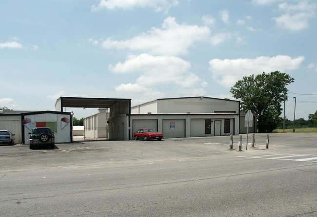

Property Detail
211 W Harris Ave
Houston-Pasadena-The Woodlands, TX
TRS 5A 18B 18D & 18F PT LT 4 PASADENA OUTLOT 31
0281770000008
HARRIS
Warehouse
Texas
B and X Area of moderate flood hazard, usually the area between the limits of the 100-year and 500-year floods.
4
2024
1.24 AC
2025
East-Southeast Far
322100
Houston
19,535 SF
NEARBY LISTINGS FOR SALE OR LEASE
DEMOGRAPHICS near 211 W Harris Ave
1 mile
3 mile
5 mile
2025 Total Population
20,444
122,906
305,836
2030 Population
22,035
131,133
326,891
Pop Growth 2025-2030
+ 7.78%
+ 6.69%
+ 6.88%
Average Age
34
35
36
2025 Total Households
6,229
37,887
98,877
HH Growth 2025-2030
+ 8.17%
+ 6.95%
+ 7.14%
Median Household Inc
$52,265
$56,430
$54,676
Avg Household Size
3.20
3.20
3.00
2025 Avg HH Vehicles
2.00
2.00
2.00
Median Home Value
$159,138
$173,499
$184,075
Median Year Built
1963
1965
1970
Nearby Places
Map Layers
Map Styles
 Street
 Aerial
Transit
 Traffic
 Biking
Places
Listings with unknown addresses are not visible on the map
- Restaurants
- Banks
- Shops
- Fitness
- Groceries
PUBLIC TRANSPORTATION
AIRPORT
William P Hobby
Drive
Walk
Distance
William P Hobby
20 min
8.2 mi
George Bush Intcntl/Houston
Drive
Walk
Distance
George Bush Intcntl/Houston
39 min
28.9 mi
Freight Ports
Port of Houston
Drive
Walk
Distance
Port of Houston
15 min
7.2 mi
Nearby Properties
Address
Land Use
TOTAL SIZE
Lot Size
Zoning
Address
Land Use
TOTAL SIZE
Lot Size
Zoning
Address
Land Use
TOTAL SIZE
Lot Size
Zoning
65.22 AC
Address
Land Use
TOTAL SIZE
Lot Size
Zoning
256.70 AC
Address
Land Use
TOTAL SIZE
Lot Size
Zoning
873,718 SF
49.59 AC
Address
Land Use
TOTAL SIZE
Lot Size
Zoning
134.46 AC
Address
Land Use
TOTAL SIZE
Lot Size
Zoning
4,574,044 SF
102.55 AC
Address
Land Use
TOTAL SIZE
Lot Size
Zoning
1,970,716 SF
118.84 AC
Address
Land Use
TOTAL SIZE
Lot Size
Zoning
592,980 SF
20 AC
Address
Land Use
TOTAL SIZE
Lot Size
Zoning
143.17 AC
Address
Land Use
TOTAL SIZE
Lot Size
Zoning
2,019,000 SF
20 AC
Address
Land Use
TOTAL SIZE
Lot Size
Zoning
3,934,000 SF
Address
Land Use
TOTAL SIZE
Lot Size
Zoning
1,476,300 SF
39.05 AC
Address
Land Use
TOTAL SIZE
Lot Size
Zoning
4.26 AC
Address
Land Use
TOTAL SIZE
Lot Size
Zoning
165.53 AC
Address
Land Use
TOTAL SIZE
Lot Size
Zoning
72.68 AC
Address
Land Use
TOTAL SIZE
Lot Size
Zoning
3,568,104 SF
61.61 AC
Address
Land Use
TOTAL SIZE
Lot Size
Zoning
115.83 AC
Address
Land Use
TOTAL SIZE
Lot Size
Zoning
2,918,000 SF
69.31 AC
Address
Land Use
TOTAL SIZE
Lot Size
Zoning
1,978,100 SF
50.02 AC
Address
Land Use
TOTAL SIZE
Lot Size
Zoning
4,580,000 SF
42.82 AC
Address
Land Use
TOTAL SIZE
Lot Size
Zoning
2,367,893 SF
39.85 AC
Address
Land Use
TOTAL SIZE
Lot Size
Zoning
403,776 SF
21.06 AC
Address
Land Use
TOTAL SIZE
Lot Size
Zoning
218,787 SF
10 AC
Address
Land Use
TOTAL SIZE
Lot Size
Zoning
2,778,876 SF
51.42 AC
Address
Land Use
TOTAL SIZE
Lot Size
Zoning
281,470 SF
11.24 AC
Address
Land Use
TOTAL SIZE
Lot Size
Zoning
1,149,387 SF
36.61 AC
Address
Land Use
TOTAL SIZE
Lot Size
Zoning
Address
Land Use
TOTAL SIZE
Lot Size
Zoning
504,938 SF
28.96 AC
Address
Land Use
TOTAL SIZE
Lot Size
Zoning
363,740 SF
16.92 AC
Address
Land Use
TOTAL SIZE
Lot Size
Zoning
143.17 AC
The World's #1 Commercial Real Estate Marketplace
Connect with us
© 2026 CoStar Group
The information above has been obtained from sources believed reliable. While we do not doubt its accuracy we have not verified it and make no guarantee, warranty or representation about it. It is your responsibility to independently confirm its accuracy and completeness. Any projections, opinions, assumptions, or estimates used are for example only and do not represent the current or future performance of the property. The value of this transaction to you depends on tax and other factors which should be evaluated by your tax, financial, and legal advisors. You and your advisors should conduct a careful, independent investigation of the property to determine to your satisfaction the suitability of the property for your needs.