Property Record
21121 Highway 441 N, Micanopy, FL 32667
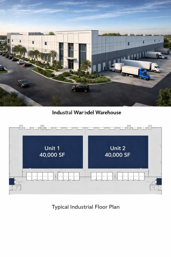


This Property Is For Sale
NEARBY LISTINGS FOR SALE OR LEASE
Property Detail
21121 Highway 441 N
Ocala, FL
Boardman
02311-001-00
Marion
Mobilemanufacturedhomeregardlessoflandownership
Florida
X
2.04 AC
12083C0130D
Outlying Marion County
1,404 SF
Ocala
DEMOGRAPHICS near 21121 Highway 441 N
1 Mile
3 Mile
5 Mile
2024 Total Population
290
1,834
5,138
2029 Population
320
1,977
5,592
Pop Growth 2024-2029
+ 10.34%
+ 7.80%
+ 8.84%
Average Age
46
47
47
2024 Total Households
125
808
2,247
HH Growth 2024-2029
+ 10.40%
+ 8.04%
+ 9.03%
Median Household Inc
$64,737
$62,317
$63,326
Avg Household Size
2.30
2.30
2.30
2024 Avg HH Vehicles
2.00
2.00
2.00
Median Home Value
$440,384
$395,555
$347,831
Median Year Built
1977
1979
1982
Nearby Places
Map Layers
Map Styles
 Street
 Aerial
- Restaurants
- Banks
- Shops
- Fitness
- Groceries
PUBLIC TRANSPORTATION
AIRPORT
Gainesville Regional
DRIVE
WALK
Distance
Gainesville Regional
34 min
21.7 mi
Freight Ports
Jacksonville Port
DRIVE
WALK
Distance
Jacksonville Port
120 min
91.5 mi
Nearby Properties
Address
Land Use
TOTAL SIZE
Lot Size
Zoning
Address
Land Use
TOTAL SIZE
Lot Size
Zoning
32,861 SF
115.49 AC
PRV
Address
Land Use
TOTAL SIZE
Lot Size
Zoning
6,144 SF
140.91 AC
PUD
Address
Land Use
TOTAL SIZE
Lot Size
Zoning
11,063 SF
417.23 AC
A1
Address
Land Use
TOTAL SIZE
Lot Size
Zoning
12,319 SF
50.98 AC
A1
Address
Land Use
TOTAL SIZE
Lot Size
Zoning
21,120 SF
3.14 AC
B5
Address
Land Use
TOTAL SIZE
Lot Size
Zoning
9,603 SF
6.30 AC
GU
Address
Land Use
TOTAL SIZE
Lot Size
Zoning
21,287 SF
10.01 AC
B2
Address
Land Use
TOTAL SIZE
Lot Size
Zoning
83.57 AC
A1
Address
Land Use
TOTAL SIZE
Lot Size
Zoning
6,468 SF
159.54 AC
A1
Address
Land Use
TOTAL SIZE
Lot Size
Zoning
9,230 SF
1.24 AC
B4
Address
Land Use
TOTAL SIZE
Lot Size
Zoning
5,091 SF
19.70 AC
A1
Address
Land Use
TOTAL SIZE
Lot Size
Zoning
2,805 SF
52.99 AC
B2
Address
Land Use
TOTAL SIZE
Lot Size
Zoning
5,318 SF
7.09 AC
A1
Address
Land Use
TOTAL SIZE
Lot Size
Zoning
9,927 SF
3.42 AC
B4
Address
Land Use
TOTAL SIZE
Lot Size
Zoning
3,947 SF
20.71 AC
A
Address
Land Use
TOTAL SIZE
Lot Size
Zoning
16,475 SF
8 AC
M1
Address
Land Use
TOTAL SIZE
Lot Size
Zoning
4,668 SF
2.27 AC
B4
Address
Land Use
TOTAL SIZE
Lot Size
Zoning
2,160 SF
30.61 AC
A1
Address
Land Use
TOTAL SIZE
Lot Size
Zoning
6,766 SF
12.33 AC
A
Address
Land Use
TOTAL SIZE
Lot Size
Zoning
3,528 SF
1.18 AC
B2
Address
Land Use
TOTAL SIZE
Lot Size
Zoning
4,800 SF
0.66 AC
B2
Address
Land Use
TOTAL SIZE
Lot Size
Zoning
5,349 SF
0.75 AC
A
Address
Land Use
TOTAL SIZE
Lot Size
Zoning
6,349 SF
0.90 AC
GU
Address
Land Use
TOTAL SIZE
Lot Size
Zoning
5,000 SF
7.46 AC
B4
Address
Land Use
TOTAL SIZE
Lot Size
Zoning
5,000 SF
0.34 AC
R1
Address
Land Use
TOTAL SIZE
Lot Size
Zoning
4,716 SF
160.39 AC
A
Address
Land Use
TOTAL SIZE
Lot Size
Zoning
6,756 SF
3.01 AC
A1
Address
Land Use
TOTAL SIZE
Lot Size
Zoning
7,428 SF
1.21 AC
B4
Address
Land Use
TOTAL SIZE
Lot Size
Zoning
1,920 SF
16.74 AC
A1
Address
Land Use
TOTAL SIZE
Lot Size
Zoning
3,337 SF
10 AC
A
The World's #1 Commercial Real Estate Marketplace
Connect with us
© 2026 CoStar Group
The information above has been obtained from sources believed reliable. While we do not doubt its accuracy we have not verified it and make no guarantee, warranty or representation about it. It is your responsibility to independently confirm its accuracy and completeness. Any projections, opinions, assumptions, or estimates used are for example only and do not represent the current or future performance of the property. The value of this transaction to you depends on tax and other factors which should be evaluated by your tax, financial, and legal advisors. You and your advisors should conduct a careful, independent investigation of the property to determine to your satisfaction the suitability of the property for your needs.