Property Record
2117 S 10Th St, Mcallen, TX 78503
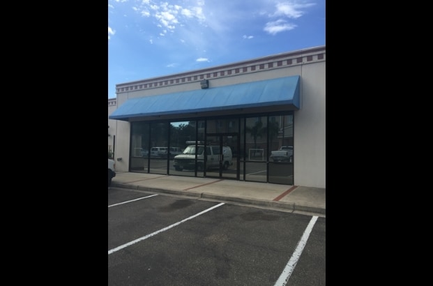

Property Detail
2117 S 10Th St
McAllen-Edinburg-Mission, TX
WICHITA COMMERCIAL PARK LOT A2
W5555-00-000-00A2-00
Hidalgo
Commercialnec
Texas
CO
a2
2024
3.85 AC
2025
Greater McAllen
021204
McAllen/Edinburg/Pharr
53,000 SF
NEARBY LISTINGS FOR SALE OR LEASE
DEMOGRAPHICS near 2117 S 10Th St
1 mile
3 mile
5 mile
2025 Total Population
6,099
72,771
219,080
2030 Population
6,473
76,133
229,449
Pop Growth 2025-2030
+ 6.13%
+ 4.62%
+ 4.73%
Average Age
39
37
36
2025 Total Households
2,294
24,754
72,064
HH Growth 2025-2030
+ 6.28%
+ 4.59%
+ 4.81%
Median Household Inc
$54,370
$45,746
$55,875
Avg Household Size
2.50
2.80
2.90
2025 Avg HH Vehicles
2.00
2.00
2.00
Median Home Value
$205,460
$151,614
$169,290
Median Year Built
1990
1992
1997
Nearby Places
Map Layers
Map Styles
 Street
 Aerial
Layers
 Traffic
 Biking
Places
Listings with unknown addresses are not visible on the map
- Restaurants
- Banks
- Shops
- Fitness
- Groceries
PUBLIC TRANSPORTATION
AIRPORT
McAllen International
Drive
Walk
Distance
McAllen International
2 min
0.7 mi
Freight Ports
Port of Brownsville
Drive
Walk
Distance
Port of Brownsville
68 min
60.2 mi
Nearby Properties
Address
Land Use
TOTAL SIZE
Lot Size
Zoning
Address
Land Use
TOTAL SIZE
Lot Size
Zoning
1,199,590 SF
47.93 AC
Address
Land Use
TOTAL SIZE
Lot Size
Zoning
430,216 SF
18.66 AC
CO
Address
Land Use
TOTAL SIZE
Lot Size
Zoning
347,628 SF
13.03 AC
CO
Address
Land Use
TOTAL SIZE
Lot Size
Zoning
291,859 SF
10.11 AC
CO
Address
Land Use
TOTAL SIZE
Lot Size
Zoning
390,048 SF
30.30 AC
Address
Land Use
TOTAL SIZE
Lot Size
Zoning
165,620 SF
24.44 AC
Address
Land Use
TOTAL SIZE
Lot Size
Zoning
93,471 SF
12.66 AC
Address
Land Use
TOTAL SIZE
Lot Size
Zoning
354,558 SF
26.79 AC
Address
Land Use
TOTAL SIZE
Lot Size
Zoning
263,388 SF
37.48 AC
Address
Land Use
TOTAL SIZE
Lot Size
Zoning
235,545 SF
40.51 AC
Address
Land Use
TOTAL SIZE
Lot Size
Zoning
2 SF
38 AC
RS
Address
Land Use
TOTAL SIZE
Lot Size
Zoning
191,978 SF
2.22 AC
Address
Land Use
TOTAL SIZE
Lot Size
Zoning
252,435 SF
9.09 AC
Address
Land Use
TOTAL SIZE
Lot Size
Zoning
216,315 SF
3.19 AC
CO
Address
Land Use
TOTAL SIZE
Lot Size
Zoning
208,941 SF
18.57 AC
Address
Land Use
TOTAL SIZE
Lot Size
Zoning
159,617 SF
5.38 AC
Address
Land Use
TOTAL SIZE
Lot Size
Zoning
7.50 AC
Address
Land Use
TOTAL SIZE
Lot Size
Zoning
105,440 SF
19.84 AC
Address
Land Use
TOTAL SIZE
Lot Size
Zoning
236,124 SF
14.03 AC
Address
Land Use
TOTAL SIZE
Lot Size
Zoning
39,603 SF
3.95 AC
Address
Land Use
TOTAL SIZE
Lot Size
Zoning
115,998 SF
6.73 AC
Address
Land Use
TOTAL SIZE
Lot Size
Zoning
140,904 SF
33.98 AC
Address
Land Use
TOTAL SIZE
Lot Size
Zoning
254,477 SF
51.88 AC
Address
Land Use
TOTAL SIZE
Lot Size
Zoning
79,150 SF
10.24 AC
Address
Land Use
TOTAL SIZE
Lot Size
Zoning
123,548 SF
10.70 AC
Address
Land Use
TOTAL SIZE
Lot Size
Zoning
135,948 SF
2.87 AC
Address
Land Use
TOTAL SIZE
Lot Size
Zoning
84,335 SF
5.79 AC
CO
Address
Land Use
TOTAL SIZE
Lot Size
Zoning
3,000 SF
16 AC
Address
Land Use
TOTAL SIZE
Lot Size
Zoning
121,353 SF
4.59 AC
Address
Land Use
TOTAL SIZE
Lot Size
Zoning
66,605 SF
10.05 AC
The World's #1 Commercial Real Estate Marketplace
Connect with us
© 2026 CoStar Group
The information above has been obtained from sources believed reliable. While we do not doubt its accuracy we have not verified it and make no guarantee, warranty or representation about it. It is your responsibility to independently confirm its accuracy and completeness. Any projections, opinions, assumptions, or estimates used are for example only and do not represent the current or future performance of the property. The value of this transaction to you depends on tax and other factors which should be evaluated by your tax, financial, and legal advisors. You and your advisors should conduct a careful, independent investigation of the property to determine to your satisfaction the suitability of the property for your needs.