Property Record
2119 Conowingo Rd, Bel Air, MD 21014


Save to a Folder
{{folder.Name}}
{{folder.ListingIds.length}} Properties
{{folder.ListingIds.length}} Property
Create a New Folder
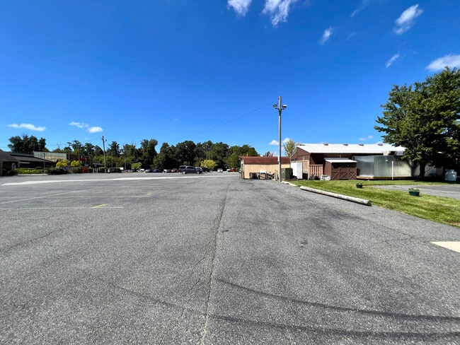
Property Detail
2119 Conowingo Rd
03-335674
LOT 1 1.36 AC 2119 CONOWINGO ROAD HICKORY VILG CNT P 97/61
Restaurantbuilding
Harford
B3
Maryland
B and X Area of moderate flood hazard, usually the area between the limits of the 100-year and 500-year floods.
1
2025
1.36 AC
2025
Outlying Harford County
303603
Baltimore
6,982 SF
Baltimore-Columbia-Towson, MD
NEARBY LISTINGS FOR SALE OR LEASE
DEMOGRAPHICS near 2119 Conowingo Rd
1 mile
3 mile
5 mile
2025 Total Population
3,765
40,283
78,914
2030 Population
3,808
40,465
79,249
Pop Growth 2025-2030
+ 1.14%
+ 0.45%
+ 0.42%
Average Age
40
41
42
2025 Total Households
1,235
14,862
29,318
HH Growth 2025-2030
+ 1.21%
+ 0.44%
+ 0.47%
Median Household Inc
$130,752
$116,777
$119,329
Avg Household Size
3.00
2.60
2.60
2025 Avg HH Vehicles
3.00
2.00
2.00
Median Home Value
$482,797
$410,051
$437,627
Median Year Built
1993
1989
1987
Nearby Places
Map Layers
Map Styles
 Street
 Aerial
Layers
 Traffic
 Biking
Places
Listings with unknown addresses are not visible on the map
- Restaurants
- Banks
- Shops
- Fitness
- Groceries
SALE & LEASE HISTORY
LISTING DATE
SALE/LEASE

Aug 17, 2023
For Sale
Nearby Properties
Address
Land Use
TOTAL SIZE
Lot Size
Zoning
Address
Land Use
TOTAL SIZE
Lot Size
Zoning
51,475 SF
7.85 AC
C1
Address
Land Use
TOTAL SIZE
Lot Size
Zoning
5,674 SF
288 AC
R4
Address
Land Use
TOTAL SIZE
Lot Size
Zoning
161,723 SF
72.26 AC
R1
Address
Land Use
TOTAL SIZE
Lot Size
Zoning
228 AC
COS
Address
Land Use
TOTAL SIZE
Lot Size
Zoning
55,164 SF
16.22 AC
B2
Address
Land Use
TOTAL SIZE
Lot Size
Zoning
13.02 AC
R3
Address
Land Use
TOTAL SIZE
Lot Size
Zoning
12.38 AC
R2
Address
Land Use
TOTAL SIZE
Lot Size
Zoning
6,084 SF
6.03 AC
B2
Address
Land Use
TOTAL SIZE
Lot Size
Zoning
113,276 SF
2.19 AC
B2A
Address
Land Use
TOTAL SIZE
Lot Size
Zoning
78,264 SF
16.71 AC
AG
Address
Land Use
TOTAL SIZE
Lot Size
Zoning
52,245 SF
2.43 AC
R3/B1
Address
Land Use
TOTAL SIZE
Lot Size
Zoning
74,842 SF
0.77 AC
B2 B3
Address
Land Use
TOTAL SIZE
Lot Size
Zoning
10.73 AC
B2
Address
Land Use
TOTAL SIZE
Lot Size
Zoning
229,355 SF
59.83 AC
R2
Address
Land Use
TOTAL SIZE
Lot Size
Zoning
46,247 SF
10.45 AC
R2 B2
Address
Land Use
TOTAL SIZE
Lot Size
Zoning
35.99 AC
R2
Address
Land Use
TOTAL SIZE
Lot Size
Zoning
78,394 SF
24.56 AC
CI
Address
Land Use
TOTAL SIZE
Lot Size
Zoning
7,104 SF
10.95 AC
R2 R3
Address
Land Use
TOTAL SIZE
Lot Size
Zoning
77,649 SF
10.42 AC
GI
Address
Land Use
TOTAL SIZE
Lot Size
Zoning
63,392 SF
8.44 AC
VR
Address
Land Use
TOTAL SIZE
Lot Size
Zoning
9,464 SF
3.51 AC
R3
Address
Land Use
TOTAL SIZE
Lot Size
Zoning
97,060 SF
8.39 AC
B2
Address
Land Use
TOTAL SIZE
Lot Size
Zoning
51,868 SF
6.25 AC
R3
Address
Land Use
TOTAL SIZE
Lot Size
Zoning
149,009 SF
0.69 AC
B3
Address
Land Use
TOTAL SIZE
Lot Size
Zoning
17,901 SF
6.74 AC
R3
Address
Land Use
TOTAL SIZE
Lot Size
Zoning
14,948 SF
0.75 AC
B2
Address
Land Use
TOTAL SIZE
Lot Size
Zoning
19,224 SF
6.43 AC
R2
Address
Land Use
TOTAL SIZE
Lot Size
Zoning
53,964 SF
1.31 AC
R1
Address
Land Use
TOTAL SIZE
Lot Size
Zoning
84,100 SF
2.58 AC
B3
Address
Land Use
TOTAL SIZE
Lot Size
Zoning
5,690 SF
10.86 AC
R2
The World's #1 Commercial Real Estate Marketplace
Connect with us
© 2026 CoStar Group
The information above has been obtained from sources believed reliable. While we do not doubt its accuracy we have not verified it and make no guarantee, warranty or representation about it. It is your responsibility to independently confirm its accuracy and completeness. Any projections, opinions, assumptions, or estimates used are for example only and do not represent the current or future performance of the property. The value of this transaction to you depends on tax and other factors which should be evaluated by your tax, financial, and legal advisors. You and your advisors should conduct a careful, independent investigation of the property to determine to your satisfaction the suitability of the property for your needs.