Property Record
2119 Lumpkin Rd, Augusta, GA 30906


Property Detail
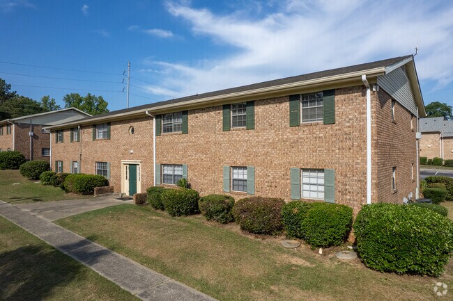
2119 Lumpkin Rd
1101013000
BELMONT (00000) 023-0
Commercialacreage
Richmond
R-3B
Georgia
B and X Area of moderate flood hazard, usually the area between the limits of the 100-year and 500-year floods.
23
2025
7.20 AC
2025
Richmond Hill
010508
Augusta/Richmond County
57,408 SF
Augusta-Richmond County, GA-SC
NEARBY LISTINGS FOR SALE OR LEASE
-
-
View all Augusta listings for sale on LoopNet.com
DEMOGRAPHICS near 2119 Lumpkin Rd
1 mile
3 mile
5 mile
2025 Total Population
8,300
46,101
110,965
2030 Population
8,208
45,751
110,902
Pop Growth 2025-2030
(1.11%)
(0.76%)
(0.06%)
Average Age
38
39
39
2025 Total Households
3,321
17,794
44,733
HH Growth 2025-2030
(1.02%)
(0.62%)
+ 0.16%
Median Household Inc
$38,091
$38,042
$44,191
Avg Household Size
2.40
2.50
2.30
2025 Avg HH Vehicles
2.00
2.00
2.00
Median Home Value
$106,436
$139,191
$168,325
Median Year Built
1961
1966
1971
Nearby Places
Map Layers
Map Styles
 Street
 Aerial
Layers
 Traffic
 Biking
Places
Listings with unknown addresses are not visible on the map
- Restaurants
- Banks
- Shops
- Fitness
- Groceries
PUBLIC TRANSPORTATION
AIRPORT
Augusta Regional at Bush Field
Drive
Walk
Distance
Augusta Regional at Bush Field
13 min
5.4 mi
Freight Ports
Georgia Ports - Savannah
Drive
Walk
Distance
Georgia Ports - Savannah
147 min
115.4 mi
Nearby Properties
Address
Land Use
TOTAL SIZE
Lot Size
Zoning
Address
Land Use
TOTAL SIZE
Lot Size
Zoning
297,455 SF
45.93 AC
A
Address
Land Use
TOTAL SIZE
Lot Size
Zoning
1,428 SF
75.91 AC
R-1A
Address
Land Use
TOTAL SIZE
Lot Size
Zoning
39,200 SF
310.85 AC
A_R-1A
Address
Land Use
TOTAL SIZE
Lot Size
Zoning
99,046 SF
29.96 AC
R-1A
Address
Land Use
TOTAL SIZE
Lot Size
Zoning
241,284 SF
20.61 AC
R-1A
Address
Land Use
TOTAL SIZE
Lot Size
Zoning
56,631 SF
11.62 AC
R-1A, B-2
Address
Land Use
TOTAL SIZE
Lot Size
Zoning
552,852 SF
215.52 AC
A_HI
Address
Land Use
TOTAL SIZE
Lot Size
Zoning
4,507 SF
56.06 AC
HI
Address
Land Use
TOTAL SIZE
Lot Size
Zoning
14,850 SF
132.49 AC
A,R
Address
Land Use
TOTAL SIZE
Lot Size
Zoning
158,192 SF
48.91 AC
R-1A
Address
Land Use
TOTAL SIZE
Lot Size
Zoning
35,263 SF
19.63 AC
B-1
Address
Land Use
TOTAL SIZE
Lot Size
Zoning
18,000 SF
27.80 AC
B-2
Address
Land Use
TOTAL SIZE
Lot Size
Zoning
38,412 SF
22.51 AC
R-1A
Address
Land Use
TOTAL SIZE
Lot Size
Zoning
193,478 SF
24.91 AC
B-2
Address
Land Use
TOTAL SIZE
Lot Size
Zoning
24,304 SF
11 AC
R-1A
Address
Land Use
TOTAL SIZE
Lot Size
Zoning
86,184 SF
9.51 AC
R-3B
Address
Land Use
TOTAL SIZE
Lot Size
Zoning
16,790 SF
22.07 AC
B-2
Address
Land Use
TOTAL SIZE
Lot Size
Zoning
73,226 SF
6.97 AC
R-1A
Address
Land Use
TOTAL SIZE
Lot Size
Zoning
66,528 SF
8.99 AC
R-3C
Address
Land Use
TOTAL SIZE
Lot Size
Zoning
70,251 SF
9.17 AC
R-1B
Address
Land Use
TOTAL SIZE
Lot Size
Zoning
29,952 SF
13.76 AC
R-3B_B-2
Address
Land Use
TOTAL SIZE
Lot Size
Zoning
136,260 SF
14.42 AC
LI_R-1
Address
Land Use
TOTAL SIZE
Lot Size
Zoning
4,154 SF
26.88 AC
R-3A
Address
Land Use
TOTAL SIZE
Lot Size
Zoning
6,750 SF
9.54 AC
B-1
Address
Land Use
TOTAL SIZE
Lot Size
Zoning
3,961 SF
12.54 AC
B-1
Address
Land Use
TOTAL SIZE
Lot Size
Zoning
68,707 SF
8.26 AC
B-1
Address
Land Use
TOTAL SIZE
Lot Size
Zoning
128,882 SF
21.09 AC
B-2
Address
Land Use
TOTAL SIZE
Lot Size
Zoning
1,936 SF
13.39 AC
B-1
Address
Land Use
TOTAL SIZE
Lot Size
Zoning
78,454 SF
10.63 AC
B-2
The World's #1 Commercial Real Estate Marketplace
Connect with us
© 2026 CoStar Group
The information above has been obtained from sources believed reliable. While we do not doubt its accuracy we have not verified it and make no guarantee, warranty or representation about it. It is your responsibility to independently confirm its accuracy and completeness. Any projections, opinions, assumptions, or estimates used are for example only and do not represent the current or future performance of the property. The value of this transaction to you depends on tax and other factors which should be evaluated by your tax, financial, and legal advisors. You and your advisors should conduct a careful, independent investigation of the property to determine to your satisfaction the suitability of the property for your needs.