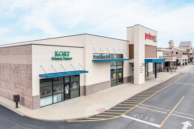
Property Record
212 Kroger Way, Versailles, KY 40383


Property Detail
212 Kroger Way
30-0000-044-07
WOODFORD
Commercialnec
Kentucky
B and X Area of moderate flood hazard, usually the area between the limits of the 100-year and 500-year floods.
13.31 AC
2025
Woodford County
2025
Lexington/Fayette
050104
Lexington-Fayette, KY
NEARBY LISTINGS FOR SALE OR LEASE
DEMOGRAPHICS near 212 Kroger Way
1 mile
3 mile
5 mile
2025 Total Population
5,161
19,741
21,845
2030 Population
5,283
20,272
22,427
Pop Growth 2025-2030
+ 2.36%
+ 2.69%
+ 2.66%
Average Age
42
41
42
2025 Total Households
2,096
7,895
8,729
HH Growth 2025-2030
+ 2.53%
+ 2.74%
+ 2.70%
Median Household Inc
$75,991
$75,449
$77,824
Avg Household Size
2.40
2.40
2.40
2025 Avg HH Vehicles
2.00
2.00
2.00
Median Home Value
$274,438
$277,939
$289,666
Median Year Built
1980
1984
1984
Nearby Places
Map Layers
Map Styles
 Street
 Aerial
Layers
 Traffic
 Biking
Places
Listings with unknown addresses are not visible on the map
- Restaurants
- Banks
- Shops
- Fitness
- Groceries
PUBLIC TRANSPORTATION
AIRPORT
Blue Grass
Drive
Walk
Distance
Blue Grass
11 min
6.4 mi
Freight Ports
Port of Toledo
Drive
Walk
Distance
Port of Toledo
345 min
294.2 mi
SALE & LEASE HISTORY
LISTING DATE
SALE/LEASE

Jun 02, 2020
For Sale
Nearby Properties
Address
Land Use
TOTAL SIZE
Lot Size
Zoning
Address
Land Use
TOTAL SIZE
Lot Size
Zoning
61.25 AC
Address
Land Use
TOTAL SIZE
Lot Size
Zoning
1,456 SF
114.20 AC
A1
Address
Land Use
TOTAL SIZE
Lot Size
Zoning
1,434.73 AC
Address
Land Use
TOTAL SIZE
Lot Size
Zoning
21.49 AC
Address
Land Use
TOTAL SIZE
Lot Size
Zoning
14.97 AC
Address
Land Use
TOTAL SIZE
Lot Size
Zoning
34.67 AC
Address
Land Use
TOTAL SIZE
Lot Size
Zoning
159.11 AC
Address
Land Use
TOTAL SIZE
Lot Size
Zoning
49.38 AC
Address
Land Use
TOTAL SIZE
Lot Size
Zoning
53.70 AC
Address
Land Use
TOTAL SIZE
Lot Size
Zoning
450,000 SF
122.72 AC
Address
Land Use
TOTAL SIZE
Lot Size
Zoning
13.59 AC
Address
Land Use
TOTAL SIZE
Lot Size
Zoning
Address
Land Use
TOTAL SIZE
Lot Size
Zoning
39.06 AC
Address
Land Use
TOTAL SIZE
Lot Size
Zoning
0.89 AC
Address
Land Use
TOTAL SIZE
Lot Size
Zoning
Address
Land Use
TOTAL SIZE
Lot Size
Zoning
0.27 AC
Address
Land Use
TOTAL SIZE
Lot Size
Zoning
1.70 AC
Address
Land Use
TOTAL SIZE
Lot Size
Zoning
1,060,350 SF
63.01 AC
Address
Land Use
TOTAL SIZE
Lot Size
Zoning
53.07 AC
Address
Land Use
TOTAL SIZE
Lot Size
Zoning
399,000 SF
39.28 AC
Address
Land Use
TOTAL SIZE
Lot Size
Zoning
16.21 AC
Address
Land Use
TOTAL SIZE
Lot Size
Zoning
3.31 AC
Address
Land Use
TOTAL SIZE
Lot Size
Zoning
1.80 AC
Address
Land Use
TOTAL SIZE
Lot Size
Zoning
14.72 AC
Address
Land Use
TOTAL SIZE
Lot Size
Zoning
108,800 SF
17.52 AC
Address
Land Use
TOTAL SIZE
Lot Size
Zoning
15,000 SF
7.35 AC
Address
Land Use
TOTAL SIZE
Lot Size
Zoning
6.86 AC
Address
Land Use
TOTAL SIZE
Lot Size
Zoning
399,000 SF
42.04 AC
Address
Land Use
TOTAL SIZE
Lot Size
Zoning
24,131 SF
25.03 AC
A1
The World's #1 Commercial Real Estate Marketplace
Connect with us
© 2026 CoStar Group
The information above has been obtained from sources believed reliable. While we do not doubt its accuracy we have not verified it and make no guarantee, warranty or representation about it. It is your responsibility to independently confirm its accuracy and completeness. Any projections, opinions, assumptions, or estimates used are for example only and do not represent the current or future performance of the property. The value of this transaction to you depends on tax and other factors which should be evaluated by your tax, financial, and legal advisors. You and your advisors should conduct a careful, independent investigation of the property to determine to your satisfaction the suitability of the property for your needs.