Property Record
2120 E Main St, Duncan, SC 29334
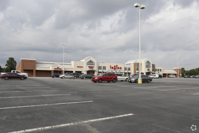

Property Detail
2120 E Main St
Spartanburg, SC
LOTS 7 8 & 9 GRANDE OAKS SUBDIV PB 80-316 133-929 DB 64K-239
5-31-00-054.01
SPARTANBURG
Commercialnec
South Carolina
B and X Area of moderate flood hazard, usually the area between the limits of the 100-year and 500-year floods.
7
0
17.56 AC
2025
Rt 290 Corridor
023406
Greenville/Spartanburg
170,279 SF
NEARBY LISTINGS FOR SALE OR LEASE
DEMOGRAPHICS near 2120 E Main St
1 mile
3 mile
5 mile
2025 Total Population
6,021
24,188
57,826
2030 Population
6,750
27,139
64,760
Pop Growth 2025-2030
+ 12.11%
+ 12.20%
+ 11.99%
Average Age
39
39
39
2025 Total Households
2,301
9,041
21,939
HH Growth 2025-2030
+ 12.21%
+ 12.21%
+ 11.99%
Median Household Inc
$101,708
$88,285
$76,309
Avg Household Size
2.60
2.60
2.60
2025 Avg HH Vehicles
2.00
2.00
2.00
Median Home Value
$289,025
$286,464
$280,187
Median Year Built
2004
2003
1999
Nearby Places
Map Layers
Map Styles
 Street
 Aerial
Transit
 Traffic
 Biking
Places
Listings with unknown addresses are not visible on the map
- Restaurants
- Banks
- Shops
- Fitness
- Groceries
PUBLIC TRANSPORTATION
COMMUTER RAIL
Drive
Walk
Distance
20 min
10.0 mi
AIRPORT
Greenville Spartanburg International
Drive
Walk
Distance
Greenville Spartanburg International
19 min
11.4 mi
Nearby Properties
Address
Land Use
TOTAL SIZE
Lot Size
Zoning
Address
Land Use
TOTAL SIZE
Lot Size
Zoning
873,910 SF
31.46 AC
Address
Land Use
TOTAL SIZE
Lot Size
Zoning
318,450 SF
22.63 AC
Address
Land Use
TOTAL SIZE
Lot Size
Zoning
210.98 AC
Address
Land Use
TOTAL SIZE
Lot Size
Zoning
303,442 SF
21.23 AC
Address
Land Use
TOTAL SIZE
Lot Size
Zoning
185,745 SF
14.17 AC
Address
Land Use
TOTAL SIZE
Lot Size
Zoning
61,536 SF
16.16 AC
Address
Land Use
TOTAL SIZE
Lot Size
Zoning
417,082 SF
10 AC
Address
Land Use
TOTAL SIZE
Lot Size
Zoning
14,168 SF
8.33 AC
Address
Land Use
TOTAL SIZE
Lot Size
Zoning
27,288 SF
19.85 AC
Address
Land Use
TOTAL SIZE
Lot Size
Zoning
2,417 SF
21.12 AC
Address
Land Use
TOTAL SIZE
Lot Size
Zoning
29.56 AC
Address
Land Use
TOTAL SIZE
Lot Size
Zoning
18.27 AC
Address
Land Use
TOTAL SIZE
Lot Size
Zoning
15,300 SF
13.48 AC
Address
Land Use
TOTAL SIZE
Lot Size
Zoning
38,313 SF
15.53 AC
Address
Land Use
TOTAL SIZE
Lot Size
Zoning
60,668 SF
8.02 AC
Address
Land Use
TOTAL SIZE
Lot Size
Zoning
32,310 SF
13.72 AC
Address
Land Use
TOTAL SIZE
Lot Size
Zoning
3,937 SF
11.29 AC
Address
Land Use
TOTAL SIZE
Lot Size
Zoning
10,126 SF
11.86 AC
Address
Land Use
TOTAL SIZE
Lot Size
Zoning
851,634 SF
15.69 AC
Address
Land Use
TOTAL SIZE
Lot Size
Zoning
111,000 SF
14.36 AC
Address
Land Use
TOTAL SIZE
Lot Size
Zoning
10,756 SF
3.42 AC
Address
Land Use
TOTAL SIZE
Lot Size
Zoning
139,404 SF
9.83 AC
Address
Land Use
TOTAL SIZE
Lot Size
Zoning
514,066 SF
10.44 AC
Address
Land Use
TOTAL SIZE
Lot Size
Zoning
3,433 SF
18.66 AC
Address
Land Use
TOTAL SIZE
Lot Size
Zoning
55.89 AC
Address
Land Use
TOTAL SIZE
Lot Size
Zoning
223,832 SF
31.43 AC
Address
Land Use
TOTAL SIZE
Lot Size
Zoning
6,290 SF
Address
Land Use
TOTAL SIZE
Lot Size
Zoning
6,197 SF
0.32 AC
Address
Land Use
TOTAL SIZE
Lot Size
Zoning
393,732 SF
11.88 AC
Address
Land Use
TOTAL SIZE
Lot Size
Zoning
161,871 SF
28.53 AC
The World's #1 Commercial Real Estate Marketplace
Connect with us
© 2026 CoStar Group
The information above has been obtained from sources believed reliable. While we do not doubt its accuracy we have not verified it and make no guarantee, warranty or representation about it. It is your responsibility to independently confirm its accuracy and completeness. Any projections, opinions, assumptions, or estimates used are for example only and do not represent the current or future performance of the property. The value of this transaction to you depends on tax and other factors which should be evaluated by your tax, financial, and legal advisors. You and your advisors should conduct a careful, independent investigation of the property to determine to your satisfaction the suitability of the property for your needs.