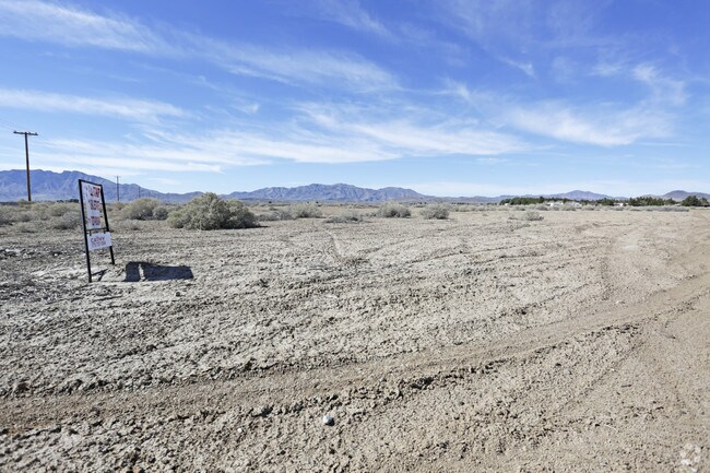
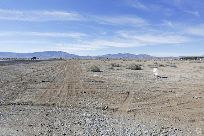
Property Record
2120 W Nevada Highway 372, Pahrump, NV 89048

NEARBY LISTINGS FOR SALE OR LEASE
Property Detail
2120 W Nevada Highway 372
Pahrump, NV
Oasis At Shangri-La Commercial Lots
43-331-13
T20S R53E S19 F#722531 P.2A 29.95AC OASIS AT SHANGRI-LA COMMERCIAL LOTS
Commercialacreage
Nye
X
Nevada
32023C8825F
29.95 AC
2024
Carson City/Nevada Area
2025
Other Market Areas
960408
DEMOGRAPHICS near 2120 W Nevada Highway 372
1 Mile
3 Mile
5 Mile
2024 Total Population
1,061
15,627
26,062
2029 Population
1,237
18,184
30,310
Pop Growth 2024-2029
+ 16.59%
+ 16.36%
+ 16.30%
Average Age
51
49
49
2024 Total Households
459
6,740
11,129
HH Growth 2024-2029
+ 16.56%
+ 16.45%
+ 16.43%
Median Household Inc
$52,436
$51,493
$52,193
Avg Household Size
2.30
2.30
2.30
2024 Avg HH Vehicles
2.00
2.00
2.00
Median Home Value
$264,515
$238,634
$246,090
Median Year Built
1994
1996
1996
Nearby Places
Map Layers
Map Styles
 Street
 Aerial
- Restaurants
- Banks
- Shops
- Fitness
- Groceries
SALE & LEASE HISTORY
LISTING DATE
SALE/LEASE

May 01, 2018
For Lease
Feb 16, 2017
For Sale
Nearby Properties
Address
Land Use
TOTAL SIZE
Lot Size
Zoning
Address
Land Use
TOTAL SIZE
Lot Size
Zoning
133,185 SF
41.60 AC
CF
Address
Land Use
TOTAL SIZE
Lot Size
Zoning
51,128 SF
24.15 AC
M
Address
Land Use
TOTAL SIZE
Lot Size
Zoning
10 SF
2.14 AC
OS
Address
Land Use
TOTAL SIZE
Lot Size
Zoning
13,885 SF
2.01 AC
M
Address
Land Use
TOTAL SIZE
Lot Size
Zoning
12,160 SF
1.26 AC
M
Address
Land Use
TOTAL SIZE
Lot Size
Zoning
12,000 SF
5 AC
CM
Address
Land Use
TOTAL SIZE
Lot Size
Zoning
8,400 SF
2.17 AC
GC
Address
Land Use
TOTAL SIZE
Lot Size
Zoning
9,564 SF
8.51 AC
CF
Address
Land Use
TOTAL SIZE
Lot Size
Zoning
10,899 SF
5 AC
NC
Address
Land Use
TOTAL SIZE
Lot Size
Zoning
6,000 SF
28 AC
SPLIT
Address
Land Use
TOTAL SIZE
Lot Size
Zoning
28,500 SF
5 AC
CM
Address
Land Use
TOTAL SIZE
Lot Size
Zoning
5,211 SF
5 AC
GC
Address
Land Use
TOTAL SIZE
Lot Size
Zoning
9,720 SF
1.57 AC
CM
Address
Land Use
TOTAL SIZE
Lot Size
Zoning
8,330 SF
2.06 AC
NC
Address
Land Use
TOTAL SIZE
Lot Size
Zoning
75.78 AC
GC
Address
Land Use
TOTAL SIZE
Lot Size
Zoning
9,636 SF
1.80 AC
NC
Address
Land Use
TOTAL SIZE
Lot Size
Zoning
67.55 AC
GC
Address
Land Use
TOTAL SIZE
Lot Size
Zoning
5,100 SF
2.19 AC
GC
Address
Land Use
TOTAL SIZE
Lot Size
Zoning
31,800 SF
5 AC
GC
Address
Land Use
TOTAL SIZE
Lot Size
Zoning
4,236 SF
3.19 AC
GC
Address
Land Use
TOTAL SIZE
Lot Size
Zoning
4,560 SF
9.42 AC
RH-4.5
Address
Land Use
TOTAL SIZE
Lot Size
Zoning
5,000 SF
3.69 AC
HI
Address
Land Use
TOTAL SIZE
Lot Size
Zoning
5,580 SF
9.10 AC
OS
Address
Land Use
TOTAL SIZE
Lot Size
Zoning
9,700 SF
4.86 AC
CM
Address
Land Use
TOTAL SIZE
Lot Size
Zoning
4,960 SF
5 AC
CM
Address
Land Use
TOTAL SIZE
Lot Size
Zoning
160 AC
R
Address
Land Use
TOTAL SIZE
Lot Size
Zoning
2,994 SF
5 AC
GC
Address
Land Use
TOTAL SIZE
Lot Size
Zoning
Address
Land Use
TOTAL SIZE
Lot Size
Zoning
4,700 SF
1.58 AC
GC
Address
Land Use
TOTAL SIZE
Lot Size
Zoning
6,001 SF
5 AC
CM
The World's #1 Commercial Real Estate Marketplace
Connect with us
© 2026 CoStar Group
The information above has been obtained from sources believed reliable. While we do not doubt its accuracy we have not verified it and make no guarantee, warranty or representation about it. It is your responsibility to independently confirm its accuracy and completeness. Any projections, opinions, assumptions, or estimates used are for example only and do not represent the current or future performance of the property. The value of this transaction to you depends on tax and other factors which should be evaluated by your tax, financial, and legal advisors. You and your advisors should conduct a careful, independent investigation of the property to determine to your satisfaction the suitability of the property for your needs.