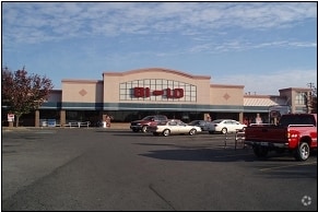
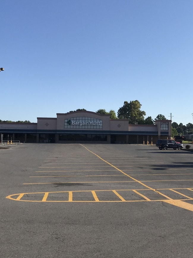
Property Record
2121 E Walnut Ave, Dalton, GA 30721


Property Detail
2121 E Walnut Ave
12-242-38-000
WALNUT CROSSING SHOPPING CTR
Commercialnec
WHITFIELD
C2
Georgia
B and X Area of moderate flood hazard, usually the area between the limits of the 100-year and 500-year floods.
4.96 AC
2025
Georgia Northwest
2025
Other Market Areas
001300
Dalton, GA
46,900 SF
NEARBY LISTINGS FOR SALE OR LEASE
DEMOGRAPHICS near 2121 E Walnut Ave
1 mile
3 mile
5 mile
2025 Total Population
6,114
34,516
64,430
2030 Population
6,284
35,409
65,997
Pop Growth 2025-2030
+ 2.78%
+ 2.59%
+ 2.43%
Average Age
35
36
38
2025 Total Households
1,925
11,442
22,214
HH Growth 2025-2030
+ 2.86%
+ 2.66%
+ 2.51%
Median Household Inc
$47,174
$49,494
$55,617
Avg Household Size
3.10
2.90
2.80
2025 Avg HH Vehicles
2.00
2.00
2.00
Median Home Value
$154,878
$194,290
$225,875
Median Year Built
1981
1982
1983
Nearby Places
Map Layers
Map Styles
 Street
 Aerial
Transit
 Traffic
 Biking
Places
Listings with unknown addresses are not visible on the map
- Restaurants
- Banks
- Shops
- Fitness
- Groceries
PUBLIC TRANSPORTATION
AIRPORT
Lovell Field
Drive
Walk
Distance
Lovell Field
43 min
31.2 mi
Freight Ports
Georgia Ports - Savannah
Drive
Walk
Distance
Georgia Ports - Savannah
380 min
338.9 mi
SALE & LEASE HISTORY
LISTING DATE
SALE/LEASE

Sep 15, 2017
For Lease
Nov 10, 2016
For Sale
Jan 24, 2017
For Lease
Nearby Properties
Address
Land Use
TOTAL SIZE
Lot Size
Zoning
Address
Land Use
TOTAL SIZE
Lot Size
Zoning
199,398 SF
37.16 AC
Address
Land Use
TOTAL SIZE
Lot Size
Zoning
500,075 SF
11.48 AC
M2
Address
Land Use
TOTAL SIZE
Lot Size
Zoning
784,920 SF
56.60 AC
M-2
Address
Land Use
TOTAL SIZE
Lot Size
Zoning
346,476 SF
31.41 AC
Address
Land Use
TOTAL SIZE
Lot Size
Zoning
1,183,067 SF
48.97 AC
M2
Address
Land Use
TOTAL SIZE
Lot Size
Zoning
193,716 SF
29.23 AC
Address
Land Use
TOTAL SIZE
Lot Size
Zoning
195,990 SF
60.25 AC
Address
Land Use
TOTAL SIZE
Lot Size
Zoning
664,020 SF
28.75 AC
M-2
Address
Land Use
TOTAL SIZE
Lot Size
Zoning
100,084 SF
1.47 AC
Address
Land Use
TOTAL SIZE
Lot Size
Zoning
760,961 SF
24.63 AC
M2
Address
Land Use
TOTAL SIZE
Lot Size
Zoning
125,756 SF
7 AC
Address
Land Use
TOTAL SIZE
Lot Size
Zoning
29,434 SF
6.36 AC
Address
Land Use
TOTAL SIZE
Lot Size
Zoning
84,200 SF
22.70 AC
Address
Land Use
TOTAL SIZE
Lot Size
Zoning
391,865 SF
17.51 AC
Address
Land Use
TOTAL SIZE
Lot Size
Zoning
184,747 SF
87.57 AC
Address
Land Use
TOTAL SIZE
Lot Size
Zoning
18,016 SF
27.65 AC
M-2
Address
Land Use
TOTAL SIZE
Lot Size
Zoning
38,016 SF
18 AC
Address
Land Use
TOTAL SIZE
Lot Size
Zoning
1,125,548 SF
24.22 AC
M2
Address
Land Use
TOTAL SIZE
Lot Size
Zoning
127,376 SF
5.64 AC
Address
Land Use
TOTAL SIZE
Lot Size
Zoning
283,000 SF
29.32 AC
Address
Land Use
TOTAL SIZE
Lot Size
Zoning
211,512 SF
3.60 AC
M2
Address
Land Use
TOTAL SIZE
Lot Size
Zoning
3,638 SF
117.55 AC
Address
Land Use
TOTAL SIZE
Lot Size
Zoning
193,500 SF
10.95 AC
M-2
Address
Land Use
TOTAL SIZE
Lot Size
Zoning
55,584 SF
21.34 AC
Address
Land Use
TOTAL SIZE
Lot Size
Zoning
541,013 SF
21.88 AC
Address
Land Use
TOTAL SIZE
Lot Size
Zoning
151,722 SF
15.17 AC
C2
Address
Land Use
TOTAL SIZE
Lot Size
Zoning
243,100 SF
27.04 AC
M2
Address
Land Use
TOTAL SIZE
Lot Size
Zoning
95,840 SF
80.46 AC
Address
Land Use
TOTAL SIZE
Lot Size
Zoning
200,586 SF
18.37 AC
C2
Address
Land Use
TOTAL SIZE
Lot Size
Zoning
234,696 SF
41.91 AC
The World's #1 Commercial Real Estate Marketplace
Connect with us
© 2026 CoStar Group
The information above has been obtained from sources believed reliable. While we do not doubt its accuracy we have not verified it and make no guarantee, warranty or representation about it. It is your responsibility to independently confirm its accuracy and completeness. Any projections, opinions, assumptions, or estimates used are for example only and do not represent the current or future performance of the property. The value of this transaction to you depends on tax and other factors which should be evaluated by your tax, financial, and legal advisors. You and your advisors should conduct a careful, independent investigation of the property to determine to your satisfaction the suitability of the property for your needs.