Property Record
2121 N Sangamon Rd, Decatur, IL 62521


Property Detail
2121 N Sangamon Rd
Decatur, IL
SUBD OF SW1/4 PT ~LT 7 & 8 PER DEED 2156/916 ~BEG 262.15 N & 25 W OF SE ~FOLL DESC TR BEG SW COR NE ~ALG SLY LI RD ~165.94 &
14-13-03-353-001
MACON
Commercialnec
Illinois
M-2
7,8
B and X Area of moderate flood hazard, usually the area between the limits of the 100-year and 500-year floods.
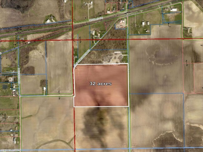
1.50 AC
2024
Springfield/Decatur
2024
Other Market Areas
002200
NEARBY LISTINGS FOR SALE OR LEASE
-
-
View all Decatur listings for sale on LoopNet.com
DEMOGRAPHICS near 2121 N Sangamon Rd
1 mile
3 mile
5 mile
2025 Total Population
216
4,707
31,191
2030 Population
211
4,574
30,681
Pop Growth 2025-2030
(2.31%)
(2.83%)
(1.64%)
Average Age
47
47
41
2025 Total Households
92
2,207
13,824
HH Growth 2025-2030
(2.17%)
(2.90%)
(1.73%)
Median Household Inc
$96,428
$72,261
$51,580
Avg Household Size
2.40
2.10
2.20
2025 Avg HH Vehicles
2.00
2.00
2.00
Median Home Value
$204,348
$134,485
$97,135
Median Year Built
1973
1966
1965
Nearby Places
Map Layers
Map Styles
 Street
 Aerial
Layers
 Traffic
 Biking
Places
Listings with unknown addresses are not visible on the map
- Restaurants
- Banks
- Shops
- Fitness
- Groceries
SALE & LEASE HISTORY
LISTING DATE
SALE/LEASE

May 12, 2017
For Sale
Nearby Properties
Address
Land Use
TOTAL SIZE
Lot Size
Zoning
Address
Land Use
TOTAL SIZE
Lot Size
Zoning
38.36 AC
MUNICIPAL
Address
Land Use
TOTAL SIZE
Lot Size
Zoning
87.31 AC
MUNICIPAL
Address
Land Use
TOTAL SIZE
Lot Size
Zoning
76.02 AC
MUNICIPAL
Address
Land Use
TOTAL SIZE
Lot Size
Zoning
68.23 AC
MUNICIPAL
Address
Land Use
TOTAL SIZE
Lot Size
Zoning
13.04 AC
MUNICIPAL
Address
Land Use
TOTAL SIZE
Lot Size
Zoning
25.59 AC
MUNICIPAL
Address
Land Use
TOTAL SIZE
Lot Size
Zoning
35.07 AC
MUNICIPAL
Address
Land Use
TOTAL SIZE
Lot Size
Zoning
5 AC
MUNICIPAL
Address
Land Use
TOTAL SIZE
Lot Size
Zoning
5.69 AC
MUNICIPAL
Address
Land Use
TOTAL SIZE
Lot Size
Zoning
48.84 AC
MUNICIPAL
Address
Land Use
TOTAL SIZE
Lot Size
Zoning
10 AC
MUNICIPAL
Address
Land Use
TOTAL SIZE
Lot Size
Zoning
7.69 AC
MUNICIPAL
Address
Land Use
TOTAL SIZE
Lot Size
Zoning
45.73 AC
MUNICIPAL
Address
Land Use
TOTAL SIZE
Lot Size
Zoning
2.09 AC
MUNICIPAL
Address
Land Use
TOTAL SIZE
Lot Size
Zoning
3.91 AC
MUNICIPAL
Address
Land Use
TOTAL SIZE
Lot Size
Zoning
7.10 AC
MUNICIPAL
Address
Land Use
TOTAL SIZE
Lot Size
Zoning
5.57 AC
MUNICIPAL
Address
Land Use
TOTAL SIZE
Lot Size
Zoning
7.67 AC
MUNICIPAL
Address
Land Use
TOTAL SIZE
Lot Size
Zoning
7.35 AC
MUNICIPAL
Address
Land Use
TOTAL SIZE
Lot Size
Zoning
3.29 AC
MUNICIPAL
Address
Land Use
TOTAL SIZE
Lot Size
Zoning
2.03 AC
M-2
Address
Land Use
TOTAL SIZE
Lot Size
Zoning
1,967 SF
47.85 AC
R-4
Address
Land Use
TOTAL SIZE
Lot Size
Zoning
13.04 AC
M-2
Address
Land Use
TOTAL SIZE
Lot Size
Zoning
0.96 AC
MUNICIPAL
Address
Land Use
TOTAL SIZE
Lot Size
Zoning
1.98 AC
MUNICIPAL
Address
Land Use
TOTAL SIZE
Lot Size
Zoning
0.52 AC
MUNICIPAL
Address
Land Use
TOTAL SIZE
Lot Size
Zoning
15.27 AC
MUNICIPAL
Address
Land Use
TOTAL SIZE
Lot Size
Zoning
2.32 AC
MUNICIPAL
Address
Land Use
TOTAL SIZE
Lot Size
Zoning
6.93 AC
M-2
The World's #1 Commercial Real Estate Marketplace
Connect with us
© 2026 CoStar Group
The information above has been obtained from sources believed reliable. While we do not doubt its accuracy we have not verified it and make no guarantee, warranty or representation about it. It is your responsibility to independently confirm its accuracy and completeness. Any projections, opinions, assumptions, or estimates used are for example only and do not represent the current or future performance of the property. The value of this transaction to you depends on tax and other factors which should be evaluated by your tax, financial, and legal advisors. You and your advisors should conduct a careful, independent investigation of the property to determine to your satisfaction the suitability of the property for your needs.