Property Record
2121 State Route 17A, Goshen, NY 10924
NEARBY LISTINGS FOR SALE OR LEASE
Property Detail
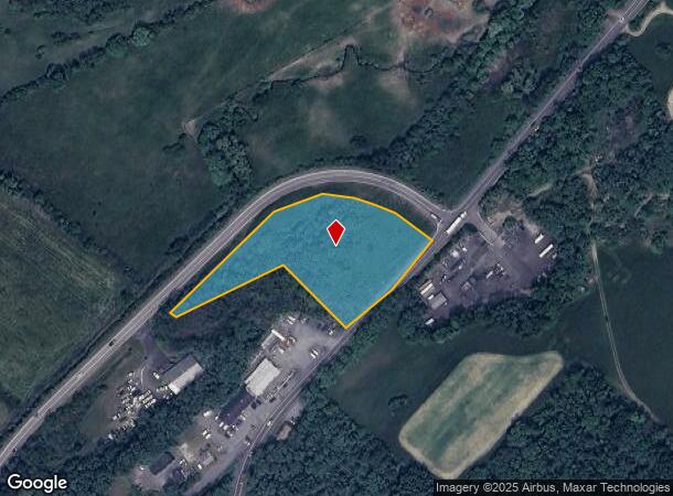
2121 State Route 17A
New York-Jersey City-White Plains, NY-NJ
NATURAL MP10-98
333089-017-000-0001-030.110-0000
Orange
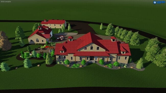
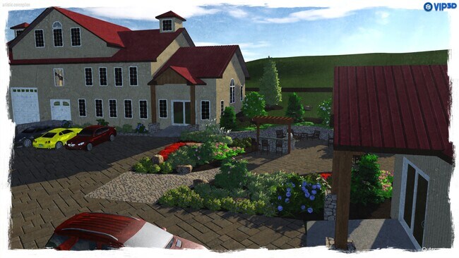
Industrialacreage
New York
X
30.11
36071C0451E
2.70 AC
2024
Monroe
2024
Northern New Jersey
011900
DEMOGRAPHICS near 2121 State Route 17A
1 Mile
3 Mile
5 Mile
2024 Total Population
1,316
10,913
29,462
2029 Population
1,338
11,198
29,998
Pop Growth 2024-2029
+ 1.67%
+ 2.61%
+ 1.82%
Average Age
51
43
42
2024 Total Households
385
3,876
10,405
HH Growth 2024-2029
+ 1.56%
+ 2.94%
+ 1.99%
Median Household Inc
$115,517
$103,765
$110,660
Avg Household Size
2.50
2.50
2.60
2024 Avg HH Vehicles
2.00
2.00
2.00
Median Home Value
$451,408
$377,202
$359,321
Median Year Built
1973
1975
1976
Nearby Places
- Restaurants
- Banks
- Shops
- Fitness
- Groceries
PUBLIC TRANSPORTATION
COMMUTER RAIL
Campbell Hall (Bergen County/Port Jervis Line - NJ Transit Commuter Rail (NJ Transit), Main/Port Jervis Line - NJ Transit Commuter Rail (NJ Transit))
DRIVE
WALK
Distance
Campbell Hall (Bergen County/Port Jervis Line - NJ Transit Commuter Rail (NJ Transit), Main/Port Jervis Line - NJ Transit Commuter Rail (NJ Transit))
14 min
8.2 mi
Middletown New York (Bergen County/Port Jervis Line - NJ Transit Commuter Rail (NJ Transit), Main/Port Jervis Line - NJ Transit Commuter Rail (NJ Transit))
DRIVE
WALK
Distance
Middletown New York (Bergen County/Port Jervis Line - NJ Transit Commuter Rail (NJ Transit), Main/Port Jervis Line - NJ Transit Commuter Rail (NJ Transit))
14 min
9.0 mi
AIRPORT
New York Stewart International
DRIVE
WALK
Distance
New York Stewart International
30 min
19.1 mi
Freight Ports
Port Newark Container Terminal
DRIVE
WALK
Distance
Port Newark Container Terminal
87 min
66.9 mi
SALE & LEASE HISTORY
LISTING DATE
SALE/LEASE

Feb 04, 2020
For Sale
Nearby Properties
Address
Land Use
TOTAL SIZE
Lot Size
Zoning
Address
Land Use
TOTAL SIZE
Lot Size
Zoning
389 AC
02092
Address
Land Use
TOTAL SIZE
Lot Size
Zoning
101 AC
02069
Address
Land Use
TOTAL SIZE
Lot Size
Zoning
3,304 SF
80.10 AC
02069
Address
Land Use
TOTAL SIZE
Lot Size
Zoning
371,790 SF
169.40 AC
01092
Address
Land Use
TOTAL SIZE
Lot Size
Zoning
82 AC
04300
Address
Land Use
TOTAL SIZE
Lot Size
Zoning
221,073 SF
35.40 AC
04023
Address
Land Use
TOTAL SIZE
Lot Size
Zoning
47.80 AC
01092
Address
Land Use
TOTAL SIZE
Lot Size
Zoning
188,237 SF
9.60 AC
01092
Address
Land Use
TOTAL SIZE
Lot Size
Zoning
159,871 SF
23.20 AC
01092
Address
Land Use
TOTAL SIZE
Lot Size
Zoning
74,932 SF
84.30 AC
01092
Address
Land Use
TOTAL SIZE
Lot Size
Zoning
147,312 SF
10.60 AC
04023
Address
Land Use
TOTAL SIZE
Lot Size
Zoning
52,730 SF
13.70 AC
04092
Address
Land Use
TOTAL SIZE
Lot Size
Zoning
64 AC
01092
Address
Land Use
TOTAL SIZE
Lot Size
Zoning
142,425 SF
12.40 AC
04300
Address
Land Use
TOTAL SIZE
Lot Size
Zoning
42,944 SF
4.90 AC
04300
Address
Land Use
TOTAL SIZE
Lot Size
Zoning
40,918 SF
3.60 AC
04011
Address
Land Use
TOTAL SIZE
Lot Size
Zoning
1,044 SF
43.10 AC
Address
Land Use
TOTAL SIZE
Lot Size
Zoning
60,918 SF
5.80 AC
4300
Address
Land Use
TOTAL SIZE
Lot Size
Zoning
52,575 SF
64.60 AC
AR3*
Address
Land Use
TOTAL SIZE
Lot Size
Zoning
45,090 SF
4.60 AC
100
Address
Land Use
TOTAL SIZE
Lot Size
Zoning
109,734 SF
14.90 AC
4300
Address
Land Use
TOTAL SIZE
Lot Size
Zoning
60,824 SF
8.90 AC
4300
Address
Land Use
TOTAL SIZE
Lot Size
Zoning
241,841 SF
31.30 AC
04023
Address
Land Use
TOTAL SIZE
Lot Size
Zoning
158,761 SF
16.30 AC
04200
Address
Land Use
TOTAL SIZE
Lot Size
Zoning
93,176 SF
19.20 AC
04300
Address
Land Use
TOTAL SIZE
Lot Size
Zoning
20.40 AC
04300
Address
Land Use
TOTAL SIZE
Lot Size
Zoning
56,982 SF
14.90 AC
4300
Address
Land Use
TOTAL SIZE
Lot Size
Zoning
Address
Land Use
TOTAL SIZE
Lot Size
Zoning
80,054 SF
3.90 AC
2034
Address
Land Use
TOTAL SIZE
Lot Size
Zoning
73,980 SF
11.80 AC
04200
The World's #1 Commercial Real Estate Marketplace
Connect with us
© 2025 CoStar Group
The information above has been obtained from sources believed reliable. While we do not doubt its accuracy we have not verified it and make no guarantee, warranty or representation about it. It is your responsibility to independently confirm its accuracy and completeness. Any projections, opinions, assumptions, or estimates used are for example only and do not represent the current or future performance of the property. The value of this transaction to you depends on tax and other factors which should be evaluated by your tax, financial, and legal advisors. You and your advisors should conduct a careful, independent investigation of the property to determine to your satisfaction the suitability of the property for your needs.