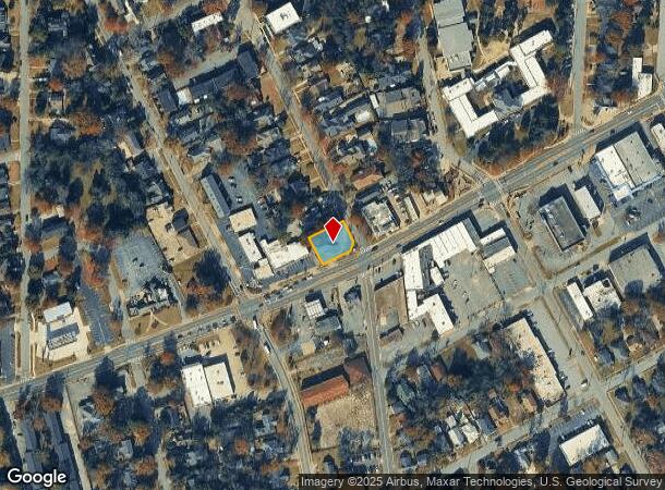
Property Record
2121 Wynnton Rd, Columbus, GA 31906

NEARBY LISTINGS FOR SALE OR LEASE
Property Detail
2121 Wynnton Rd
Columbus, GA-AL
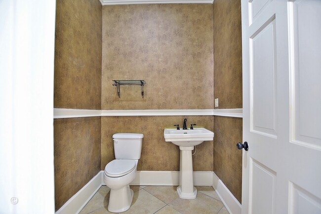
Office-Commercial Bldg
184-006-011
PT LT 2 & 4 PEACOCK
Commercialnec
Muscogee
X
Georgia
01113C0200C
2,4
2025
0.30 AC
2025
Greater Columbus
001200
Columbus GA
1,788 SF
DEMOGRAPHICS near 2121 Wynnton Rd
1 Mile
3 Mile
5 Mile
2024 Total Population
11,984
74,663
160,921
2029 Population
11,961
74,061
158,334
Pop Growth 2024-2029
(0.19%)
(0.81%)
(1.61%)
Average Age
39
38
38
2024 Total Households
5,503
31,620
65,628
HH Growth 2024-2029
(0.35%)
(0.80%)
(1.61%)
Median Household Inc
$37,324
$34,878
$40,720
Avg Household Size
2.10
2.20
2.30
2024 Avg HH Vehicles
1.00
1.00
2.00
Median Home Value
$164,386
$129,196
$139,729
Median Year Built
1956
1964
1970
Nearby Places
Map Layers
Map Styles
 Street
 Aerial
- Restaurants
- Banks
- Shops
- Fitness
- Groceries
PUBLIC TRANSPORTATION
AIRPORT
Columbus
DRIVE
WALK
Distance
Columbus
9 min
5.1 mi
Freight Ports
Port of Panama City
DRIVE
WALK
Distance
Port of Panama City
234 min
185.2 mi
SALE & LEASE HISTORY
LISTING DATE
SALE/LEASE

Jul 14, 2022
For Sale
Jan 31, 2025
For Lease
Jan 31, 2025
For Sale
Nearby Properties
Address
Land Use
TOTAL SIZE
Lot Size
Zoning
Address
Land Use
TOTAL SIZE
Lot Size
Zoning
81,423 SF
11.54 AC
Address
Land Use
TOTAL SIZE
Lot Size
Zoning
68,000 SF
11.21 AC
Address
Land Use
TOTAL SIZE
Lot Size
Zoning
32,750 SF
4.01 AC
Address
Land Use
TOTAL SIZE
Lot Size
Zoning
174,892 SF
19.03 AC
Address
Land Use
TOTAL SIZE
Lot Size
Zoning
2.48 AC
Address
Land Use
TOTAL SIZE
Lot Size
Zoning
43,888 SF
2 AC
Address
Land Use
TOTAL SIZE
Lot Size
Zoning
55,900 SF
27.05 AC
Address
Land Use
TOTAL SIZE
Lot Size
Zoning
216,360 SF
17.51 AC
Address
Land Use
TOTAL SIZE
Lot Size
Zoning
65,875 SF
2.37 AC
Address
Land Use
TOTAL SIZE
Lot Size
Zoning
14,253 SF
6.71 AC
Address
Land Use
TOTAL SIZE
Lot Size
Zoning
63,220 SF
3.49 AC
Address
Land Use
TOTAL SIZE
Lot Size
Zoning
37,202 SF
8.03 AC
Address
Land Use
TOTAL SIZE
Lot Size
Zoning
5,592 SF
13.41 AC
Address
Land Use
TOTAL SIZE
Lot Size
Zoning
56,095 SF
25.91 AC
Address
Land Use
TOTAL SIZE
Lot Size
Zoning
27,621 SF
6.33 AC
Address
Land Use
TOTAL SIZE
Lot Size
Zoning
2.31 AC
Address
Land Use
TOTAL SIZE
Lot Size
Zoning
32,238 SF
7.21 AC
Address
Land Use
TOTAL SIZE
Lot Size
Zoning
10,705 SF
0.64 AC
Address
Land Use
TOTAL SIZE
Lot Size
Zoning
31,847 SF
1.21 AC
Address
Land Use
TOTAL SIZE
Lot Size
Zoning
4,334 SF
13.29 AC
Address
Land Use
TOTAL SIZE
Lot Size
Zoning
133,276 SF
36.76 AC
Address
Land Use
TOTAL SIZE
Lot Size
Zoning
247,570 SF
28.07 AC
Address
Land Use
TOTAL SIZE
Lot Size
Zoning
1.21 AC
Address
Land Use
TOTAL SIZE
Lot Size
Zoning
34,866 SF
2.34 AC
Address
Land Use
TOTAL SIZE
Lot Size
Zoning
18,050 SF
1.17 AC
Address
Land Use
TOTAL SIZE
Lot Size
Zoning
142,703 SF
28.48 AC
Address
Land Use
TOTAL SIZE
Lot Size
Zoning
29,640 SF
1.11 AC
Address
Land Use
TOTAL SIZE
Lot Size
Zoning
45,932 SF
29 AC
Address
Land Use
TOTAL SIZE
Lot Size
Zoning
83,295 SF
17.87 AC
Address
Land Use
TOTAL SIZE
Lot Size
Zoning
78,948 SF
6 AC
The World's #1 Commercial Real Estate Marketplace
Connect with us
© 2025 CoStar Group
The information above has been obtained from sources believed reliable. While we do not doubt its accuracy we have not verified it and make no guarantee, warranty or representation about it. It is your responsibility to independently confirm its accuracy and completeness. Any projections, opinions, assumptions, or estimates used are for example only and do not represent the current or future performance of the property. The value of this transaction to you depends on tax and other factors which should be evaluated by your tax, financial, and legal advisors. You and your advisors should conduct a careful, independent investigation of the property to determine to your satisfaction the suitability of the property for your needs.