Property Record
2128 Luann Ln, Madison, WI 53713

Save to a Folder
{{folder.Name}}
{{folder.ListingIds.length}} Properties
{{folder.ListingIds.length}} Property
Create a New Folder
Property Detail
2128 Luann Ln
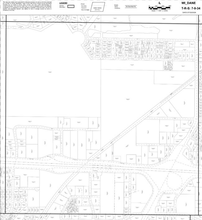
0709-343-0112-1
CERTIFIED SURVEY MAP NO 15595 AS RECORDED IN DANE COUNTY REGISTER OF DEEDS IN VO L 112 PAGE 343 OF CERTIFIED SURVEYS, LOT 1.
Commercialnec
DANE
CC
Wisconsin
B and X Area of moderate flood hazard, usually the area between the limits of the 100-year and 500-year floods.
112
2025
1.14 AC
2025
Fitchburg
001402
Milwaukee/Madison
20,744 SF
Madison, WI
NEARBY LISTINGS FOR SALE OR LEASE
DEMOGRAPHICS near 2128 Luann Ln
1 mile
3 mile
5 mile
2025 Total Population
11,093
138,037
231,938
2030 Population
11,494
148,679
246,482
Pop Growth 2025-2030
+ 3.61%
+ 7.71%
+ 6.27%
Average Age
35
35
36
2025 Total Households
4,956
58,186
102,332
HH Growth 2025-2030
+ 3.95%
+ 8.26%
+ 6.68%
Median Household Inc
$59,111
$69,307
$69,676
Avg Household Size
2.20
2.20
2.10
2025 Avg HH Vehicles
1.00
1.00
1.00
Median Home Value
$344,748
$426,249
$411,882
Median Year Built
1983
1988
1984
Nearby Places
Map Layers
Map Styles
 Street
 Aerial
Layers
 Traffic
 Biking
Places
Listings with unknown addresses are not visible on the map
- Restaurants
- Banks
- Shops
- Fitness
- Groceries
PUBLIC TRANSPORTATION
AIRPORT
Dane County Regional/Truax Field
Drive
Walk
Distance
Dane County Regional/Truax Field
21 min
10.7 mi
Nearby Properties
Address
Land Use
TOTAL SIZE
Lot Size
Zoning
Address
Land Use
TOTAL SIZE
Lot Size
Zoning
324,916 SF
1.08 AC
PD
Address
Land Use
TOTAL SIZE
Lot Size
Zoning
466,790 SF
761.23 AC
PD
Address
Land Use
TOTAL SIZE
Lot Size
Zoning
8.42 AC
Address
Land Use
TOTAL SIZE
Lot Size
Zoning
21.49 AC
Address
Land Use
TOTAL SIZE
Lot Size
Zoning
212,429 SF
0.66 AC
UMX
Address
Land Use
TOTAL SIZE
Lot Size
Zoning
210,515 SF
0.80 AC
UMX
Address
Land Use
TOTAL SIZE
Lot Size
Zoning
89.21 AC
Address
Land Use
TOTAL SIZE
Lot Size
Zoning
177,906 SF
5.49 AC
CC-T
Address
Land Use
TOTAL SIZE
Lot Size
Zoning
16.45 AC
Address
Land Use
TOTAL SIZE
Lot Size
Zoning
18.97 AC
Address
Land Use
TOTAL SIZE
Lot Size
Zoning
212,259 SF
0.87 AC
UMX
Address
Land Use
TOTAL SIZE
Lot Size
Zoning
242,105 SF
2.23 AC
TSS
Address
Land Use
TOTAL SIZE
Lot Size
Zoning
24.62 AC
Address
Land Use
TOTAL SIZE
Lot Size
Zoning
174,113 SF
2.71 AC
PD
Address
Land Use
TOTAL SIZE
Lot Size
Zoning
202,376 SF
1.59 AC
PD
Address
Land Use
TOTAL SIZE
Lot Size
Zoning
181,893 SF
0.64 AC
PD
Address
Land Use
TOTAL SIZE
Lot Size
Zoning
14.47 AC
Address
Land Use
TOTAL SIZE
Lot Size
Zoning
135,478 SF
0.41 AC
UMX
Address
Land Use
TOTAL SIZE
Lot Size
Zoning
2.97 AC
Address
Land Use
TOTAL SIZE
Lot Size
Zoning
104,936 SF
1.19 AC
PD
Address
Land Use
TOTAL SIZE
Lot Size
Zoning
6.30 AC
Address
Land Use
TOTAL SIZE
Lot Size
Zoning
404,794 SF
4.86 AC
CC-T
Address
Land Use
TOTAL SIZE
Lot Size
Zoning
13.98 AC
Address
Land Use
TOTAL SIZE
Lot Size
Zoning
Address
Land Use
TOTAL SIZE
Lot Size
Zoning
2.86 AC
Address
Land Use
TOTAL SIZE
Lot Size
Zoning
3.21 AC
Address
Land Use
TOTAL SIZE
Lot Size
Zoning
12.03 AC
Address
Land Use
TOTAL SIZE
Lot Size
Zoning
129,853 SF
0.40 AC
PD
Address
Land Use
TOTAL SIZE
Lot Size
Zoning
170,606 SF
1.08 AC
PD
Address
Land Use
TOTAL SIZE
Lot Size
Zoning
6.65 AC
The World's #1 Commercial Real Estate Marketplace
Connect with us
© 2026 CoStar Group
The information above has been obtained from sources believed reliable. While we do not doubt its accuracy we have not verified it and make no guarantee, warranty or representation about it. It is your responsibility to independently confirm its accuracy and completeness. Any projections, opinions, assumptions, or estimates used are for example only and do not represent the current or future performance of the property. The value of this transaction to you depends on tax and other factors which should be evaluated by your tax, financial, and legal advisors. You and your advisors should conduct a careful, independent investigation of the property to determine to your satisfaction the suitability of the property for your needs.