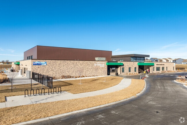
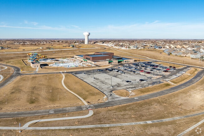
Property Record
21280 Capehart Rd, Papillion, NE 68046

NEARBY LISTINGS FOR SALE OR LEASE
Property Detail
21280 Capehart Rd
010478175
W1/2 SE1/4 & E1/2 SW1/4 EXC ROW 1-13-10 (157.59 AC)
Stateproperty
Sarpy
X
Nebraska
31025C0075D
157.59 AC
0
Southwest Omaha
2025
Omaha/Council Bluffs
010623
Omaha-Council Bluffs, NE-IA
1,288 SF
DEMOGRAPHICS near 21280 Capehart Rd
1 Mile
3 Mile
5 Mile
2024 Total Population
4,215
14,019
34,165
2029 Population
4,598
15,344
37,562
Pop Growth 2024-2029
+ 9.09%
+ 9.45%
+ 9.94%
Average Age
36
36
35
2024 Total Households
1,367
4,730
11,298
HH Growth 2024-2029
+ 9.14%
+ 9.53%
+ 10.05%
Median Household Inc
$116,666
$126,528
$132,755
Avg Household Size
3.10
2.90
3.00
2024 Avg HH Vehicles
3.00
2.00
2.00
Median Home Value
$347,183
$343,683
$345,612
Median Year Built
2004
2006
2009
Nearby Places
Map Layers
Map Styles
 Street
 Aerial
- Restaurants
- Banks
- Shops
- Fitness
- Groceries
PUBLIC TRANSPORTATION
AIRPORT
Eppley Airfield
DRIVE
WALK
Distance
Eppley Airfield
41 min
26.8 mi
Freight Ports
Tulsa Port Of Catoosa
DRIVE
WALK
Distance
Tulsa Port Of Catoosa
478 min
399.5 mi
Nearby Properties
Address
Land Use
TOTAL SIZE
Lot Size
Zoning
Address
Land Use
TOTAL SIZE
Lot Size
Zoning
46,338 SF
25.95 AC
Address
Land Use
TOTAL SIZE
Lot Size
Zoning
12.60 AC
Address
Land Use
TOTAL SIZE
Lot Size
Zoning
30.87 AC
Address
Land Use
TOTAL SIZE
Lot Size
Zoning
13,312 SF
9.27 AC
Address
Land Use
TOTAL SIZE
Lot Size
Zoning
38,154 SF
10.65 AC
Address
Land Use
TOTAL SIZE
Lot Size
Zoning
15.85 AC
Address
Land Use
TOTAL SIZE
Lot Size
Zoning
36,145 SF
2 AC
Address
Land Use
TOTAL SIZE
Lot Size
Zoning
37,589 SF
6.76 AC
Address
Land Use
TOTAL SIZE
Lot Size
Zoning
13.44 AC
Address
Land Use
TOTAL SIZE
Lot Size
Zoning
6,404 SF
4.61 AC
Address
Land Use
TOTAL SIZE
Lot Size
Zoning
6.78 AC
Address
Land Use
TOTAL SIZE
Lot Size
Zoning
17,250 SF
10.21 AC
Address
Land Use
TOTAL SIZE
Lot Size
Zoning
8,800 SF
0.34 AC
AG
Address
Land Use
TOTAL SIZE
Lot Size
Zoning
67,737 SF
4.01 AC
Address
Land Use
TOTAL SIZE
Lot Size
Zoning
11,666 SF
4.15 AC
Address
Land Use
TOTAL SIZE
Lot Size
Zoning
1.65 AC
I1
Address
Land Use
TOTAL SIZE
Lot Size
Zoning
Address
Land Use
TOTAL SIZE
Lot Size
Zoning
1,344 SF
10.41 AC
Address
Land Use
TOTAL SIZE
Lot Size
Zoning
9,560 SF
2.99 AC
Address
Land Use
TOTAL SIZE
Lot Size
Zoning
44,001 SF
3.93 AC
Address
Land Use
TOTAL SIZE
Lot Size
Zoning
5.33 AC
Address
Land Use
TOTAL SIZE
Lot Size
Zoning
32,763 SF
3 AC
Address
Land Use
TOTAL SIZE
Lot Size
Zoning
21,122 SF
3.68 AC
Address
Land Use
TOTAL SIZE
Lot Size
Zoning
3,500 SF
3.34 AC
Address
Land Use
TOTAL SIZE
Lot Size
Zoning
41,075 SF
1.04 AC
Address
Land Use
TOTAL SIZE
Lot Size
Zoning
5.20 AC
Address
Land Use
TOTAL SIZE
Lot Size
Zoning
3,082 SF
10.70 AC
Address
Land Use
TOTAL SIZE
Lot Size
Zoning
66,758 SF
10.55 AC
I1
Address
Land Use
TOTAL SIZE
Lot Size
Zoning
4,183 SF
2.58 AC
The World's #1 Commercial Real Estate Marketplace
Connect with us
© 2026 CoStar Group
The information above has been obtained from sources believed reliable. While we do not doubt its accuracy we have not verified it and make no guarantee, warranty or representation about it. It is your responsibility to independently confirm its accuracy and completeness. Any projections, opinions, assumptions, or estimates used are for example only and do not represent the current or future performance of the property. The value of this transaction to you depends on tax and other factors which should be evaluated by your tax, financial, and legal advisors. You and your advisors should conduct a careful, independent investigation of the property to determine to your satisfaction the suitability of the property for your needs.