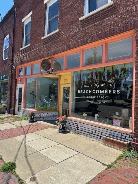
Property Record
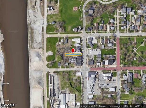
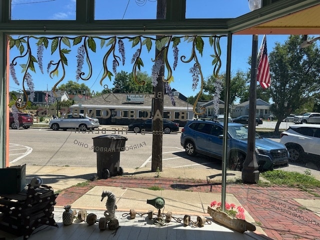
213 High St, Fairport Harbor, OH 44077
Current Lease Availabilities
NEARBY LISTINGS FOR SALE OR LEASE
Property Detail
213 High St
Cleveland-Elyria, OH
Grandon Plat
14-A-001-0-00-010
LOT 2 TRACT 4 PART OF LOT 58
Commercialnec
Lake
X
Ohio
39085C0019G
2,58
0
0.13 AC
2024
Northeast
204000
Cleveland
7,186 SF
DEMOGRAPHICS near 213 High St
1 Mile
3 Mile
5 Mile
2024 Total Population
2,741
21,114
58,328
2029 Population
2,701
21,102
58,286
Pop Growth 2024-2029
(1.46%)
(0.06%)
(0.07%)
Average Age
44
39
41
2024 Total Households
1,321
8,388
23,652
HH Growth 2024-2029
(1.51%)
(0.12%)
(0.11%)
Median Household Inc
$51,678
$58,984
$71,215
Avg Household Size
2.00
2.40
2.40
2024 Avg HH Vehicles
2.00
2.00
2.00
Median Home Value
$134,217
$145,203
$173,301
Median Year Built
1947
1960
1973
Nearby Places
- Restaurants
- Banks
- Shops
- Fitness
- Groceries
PUBLIC TRANSPORTATION
AIRPORT
Cleveland-Hopkins International
DRIVE
WALK
Distance
Cleveland-Hopkins International
61 min
44.2 mi
Nearby Properties
Address
Land Use
TOTAL SIZE
Lot Size
Zoning
Address
Land Use
TOTAL SIZE
Lot Size
Zoning
160,976 SF
3.31 AC
B-4
Address
Land Use
TOTAL SIZE
Lot Size
Zoning
57,904 SF
3.61 AC
Address
Land Use
TOTAL SIZE
Lot Size
Zoning
197,433 SF
26.82 AC
R-1
Address
Land Use
TOTAL SIZE
Lot Size
Zoning
113,375 SF
2.73 AC
B-3
Address
Land Use
TOTAL SIZE
Lot Size
Zoning
111,506 SF
9.84 AC
Address
Land Use
TOTAL SIZE
Lot Size
Zoning
57,744 SF
3.29 AC
Address
Land Use
TOTAL SIZE
Lot Size
Zoning
163,586 SF
24.91 AC
Address
Land Use
TOTAL SIZE
Lot Size
Zoning
59,448 SF
Address
Land Use
TOTAL SIZE
Lot Size
Zoning
Address
Land Use
TOTAL SIZE
Lot Size
Zoning
400,874 SF
26.37 AC
I-2
Address
Land Use
TOTAL SIZE
Lot Size
Zoning
136,138 SF
15.25 AC
Address
Land Use
TOTAL SIZE
Lot Size
Zoning
153,534 SF
36.47 AC
I2
Address
Land Use
TOTAL SIZE
Lot Size
Zoning
74,502 SF
11.47 AC
R-1
Address
Land Use
TOTAL SIZE
Lot Size
Zoning
1,372 SF
90.54 AC
I-2
Address
Land Use
TOTAL SIZE
Lot Size
Zoning
8,556 SF
74.61 AC
R-1
Address
Land Use
TOTAL SIZE
Lot Size
Zoning
74,502 SF
6.35 AC
R-1
Address
Land Use
TOTAL SIZE
Lot Size
Zoning
47,934 SF
0.73 AC
B-4
Address
Land Use
TOTAL SIZE
Lot Size
Zoning
142,393 SF
11.81 AC
Address
Land Use
TOTAL SIZE
Lot Size
Zoning
42,200 SF
2.83 AC
Address
Land Use
TOTAL SIZE
Lot Size
Zoning
125,994 SF
12.54 AC
Address
Land Use
TOTAL SIZE
Lot Size
Zoning
Address
Land Use
TOTAL SIZE
Lot Size
Zoning
75,593 SF
2.49 AC
B-3
Address
Land Use
TOTAL SIZE
Lot Size
Zoning
68,656 SF
6.74 AC
Address
Land Use
TOTAL SIZE
Lot Size
Zoning
116,755 SF
11.12 AC
Address
Land Use
TOTAL SIZE
Lot Size
Zoning
95,628 SF
8.95 AC
R-3
Address
Land Use
TOTAL SIZE
Lot Size
Zoning
45,568 SF
5.90 AC
Address
Land Use
TOTAL SIZE
Lot Size
Zoning
100,142 SF
25.07 AC
Address
Land Use
TOTAL SIZE
Lot Size
Zoning
62,554 SF
3.26 AC
R-1
Address
Land Use
TOTAL SIZE
Lot Size
Zoning
79,825 SF
9.28 AC
R-1
Address
Land Use
TOTAL SIZE
Lot Size
Zoning
80,107 SF
36.67 AC
I-2
The World's #1 Commercial Real Estate Marketplace
Connect with us
© 2025 CoStar Group
The information above has been obtained from sources believed reliable. While we do not doubt its accuracy we have not verified it and make no guarantee, warranty or representation about it. It is your responsibility to independently confirm its accuracy and completeness. Any projections, opinions, assumptions, or estimates used are for example only and do not represent the current or future performance of the property. The value of this transaction to you depends on tax and other factors which should be evaluated by your tax, financial, and legal advisors. You and your advisors should conduct a careful, independent investigation of the property to determine to your satisfaction the suitability of the property for your needs.