Property Record
2131 E Mesquite Ave, Pahrump, NV 89060
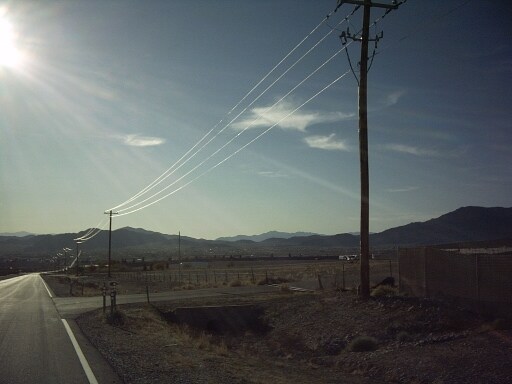

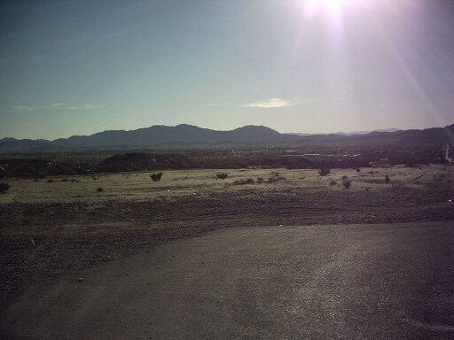
Property Detail
2131 E Mesquite Ave
35-011-05
T20S R53E S1 NWNW P#11135 40.24AC
Industrialacreage
NYE
HI
Nevada
B and X Area of moderate flood hazard, usually the area between the limits of the 100-year and 500-year floods.
40.24 AC
2024
Carson City/Nevada Area
2025
Other Market Areas
960413
Pahrump, NV
NEARBY LISTINGS FOR SALE OR LEASE
DEMOGRAPHICS near 2131 E Mesquite Ave
1 mile
3 mile
5 mile
2025 Total Population
217
3,966
21,178
2030 Population
223
4,178
22,413
Pop Growth 2025-2030
+ 2.76%
+ 5.35%
+ 5.83%
Average Age
44
49
49
2025 Total Households
36
1,427
9,060
HH Growth 2025-2030
+ 2.78%
+ 6.24%
+ 5.95%
Median Household Inc
$66,964
$59,462
$56,630
Avg Household Size
2.40
2.20
2.20
2025 Avg HH Vehicles
1.00
2.00
2.00
Median Home Value
$357,692
$272,128
$275,727
Median Year Built
1990
1996
1996
Nearby Places
Map Layers
Map Styles
 Street
 Aerial
Layers
 Traffic
 Biking
Places
Listings with unknown addresses are not visible on the map
- Restaurants
- Banks
- Shops
- Fitness
- Groceries
SALE & LEASE HISTORY
LISTING DATE
SALE/LEASE

May 10, 2017
For Sale
Jan 11, 2017
For Sale
Nearby Properties
Address
Land Use
TOTAL SIZE
Lot Size
Zoning
Address
Land Use
TOTAL SIZE
Lot Size
Zoning
191,653 SF
118.11 AC
CF
Address
Land Use
TOTAL SIZE
Lot Size
Zoning
76,885 SF
12.53 AC
LI
Address
Land Use
TOTAL SIZE
Lot Size
Zoning
63,853 SF
8.09 AC
GC
Address
Land Use
TOTAL SIZE
Lot Size
Zoning
156,375 SF
13.60 AC
GC
Address
Land Use
TOTAL SIZE
Lot Size
Zoning
106,309 SF
12.24 AC
GC
Address
Land Use
TOTAL SIZE
Lot Size
Zoning
62,606 SF
1.61 AC
GC
Address
Land Use
TOTAL SIZE
Lot Size
Zoning
62,279 SF
7.09 AC
GC
Address
Land Use
TOTAL SIZE
Lot Size
Zoning
56,409 SF
5.44 AC
GC
Address
Land Use
TOTAL SIZE
Lot Size
Zoning
6.91 AC
LI
Address
Land Use
TOTAL SIZE
Lot Size
Zoning
4,909 SF
22.10 AC
GC
Address
Land Use
TOTAL SIZE
Lot Size
Zoning
39,900 SF
6.24 AC
GC
Address
Land Use
TOTAL SIZE
Lot Size
Zoning
12,000 SF
9.54 AC
CF
Address
Land Use
TOTAL SIZE
Lot Size
Zoning
37,163 SF
3.66 AC
GC
Address
Land Use
TOTAL SIZE
Lot Size
Zoning
33,120 SF
3.13 AC
GC
Address
Land Use
TOTAL SIZE
Lot Size
Zoning
560 SF
5.30 AC
LI
Address
Land Use
TOTAL SIZE
Lot Size
Zoning
10,280 SF
6.73 AC
Address
Land Use
TOTAL SIZE
Lot Size
Zoning
20,053 SF
4.61 AC
CF
Address
Land Use
TOTAL SIZE
Lot Size
Zoning
10,282 SF
34.27 AC
OS
Address
Land Use
TOTAL SIZE
Lot Size
Zoning
18,746 SF
5.08 AC
NC
Address
Land Use
TOTAL SIZE
Lot Size
Zoning
14,027 SF
1.56 AC
GC
Address
Land Use
TOTAL SIZE
Lot Size
Zoning
19,600 SF
4.11 AC
GC
Address
Land Use
TOTAL SIZE
Lot Size
Zoning
12,000 SF
11.19 AC
GC
Address
Land Use
TOTAL SIZE
Lot Size
Zoning
24,154 SF
1.38 AC
GC
Address
Land Use
TOTAL SIZE
Lot Size
Zoning
7,656 SF
5.75 AC
CF
Address
Land Use
TOTAL SIZE
Lot Size
Zoning
9.76 AC
GC
Address
Land Use
TOTAL SIZE
Lot Size
Zoning
24,400 SF
1.10 AC
GC
Address
Land Use
TOTAL SIZE
Lot Size
Zoning
8,400 SF
2.17 AC
GC
Address
Land Use
TOTAL SIZE
Lot Size
Zoning
160 AC
GC
Address
Land Use
TOTAL SIZE
Lot Size
Zoning
9,306 SF
4.69 AC
MU
Address
Land Use
TOTAL SIZE
Lot Size
Zoning
9,292 SF
1.06 AC
GC
The World's #1 Commercial Real Estate Marketplace
Connect with us
© 2026 CoStar Group
The information above has been obtained from sources believed reliable. While we do not doubt its accuracy we have not verified it and make no guarantee, warranty or representation about it. It is your responsibility to independently confirm its accuracy and completeness. Any projections, opinions, assumptions, or estimates used are for example only and do not represent the current or future performance of the property. The value of this transaction to you depends on tax and other factors which should be evaluated by your tax, financial, and legal advisors. You and your advisors should conduct a careful, independent investigation of the property to determine to your satisfaction the suitability of the property for your needs.