Property Record
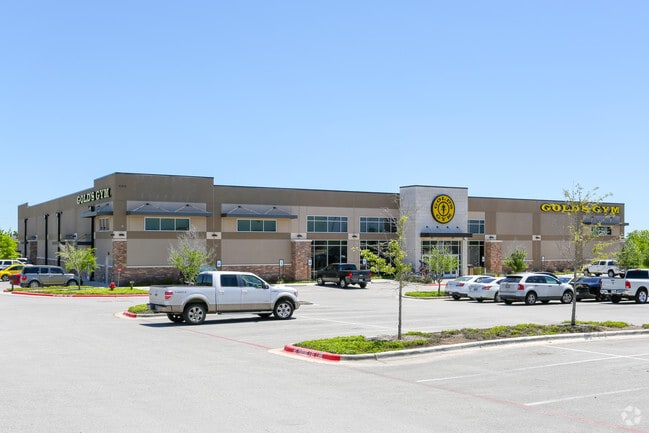
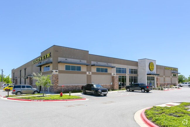
21315 N State Highway 130, Pflugerville, TX 78660

Property Detail
21315 N State Highway 130
Austin-Round Rock-San Marcos, TX
LOT 6 BLK A GATTIS CROSSING AMD LOTS 4,6,& 7
859015
TRAVIS
Gymhealthspa
Texas
B and X Area of moderate flood hazard, usually the area between the limits of the 100-year and 500-year floods.
6,4
2025
6.28 AC
2025
Far Northeast
047000
Austin
37,345 SF
NEARBY LISTINGS FOR SALE OR LEASE
DEMOGRAPHICS near 21315 N State Highway 130
1 mile
3 mile
5 mile
2025 Total Population
10,125
78,873
188,419
2030 Population
11,097
86,509
208,021
Pop Growth 2025-2030
+ 9.60%
+ 9.68%
+ 10.40%
Average Age
37
37
37
2025 Total Households
3,581
26,025
64,117
HH Growth 2025-2030
+ 10.47%
+ 10.33%
+ 10.94%
Median Household Inc
$122,004
$136,171
$125,809
Avg Household Size
2.80
3.00
2.90
2025 Avg HH Vehicles
2.00
2.00
2.00
Median Home Value
$429,576
$467,174
$436,041
Median Year Built
2009
2010
2010
Nearby Places
Map Layers
Map Styles
 Street
 Aerial
Layers
 Traffic
 Biking
Places
Listings with unknown addresses are not visible on the map
- Restaurants
- Banks
- Shops
- Fitness
- Groceries
PUBLIC TRANSPORTATION
AIRPORT
Austin-Bergstrom International
Drive
Walk
Distance
Austin-Bergstrom International
38 min
29.3 mi
SALE & LEASE HISTORY
LISTING DATE
SALE/LEASE

Nov 30, 2018
For Sale
Nearby Properties
Address
Land Use
TOTAL SIZE
Lot Size
Zoning
Address
Land Use
TOTAL SIZE
Lot Size
Zoning
475,624 SF
64.73 AC
Address
Land Use
TOTAL SIZE
Lot Size
Zoning
400,695 SF
21.02 AC
Address
Land Use
TOTAL SIZE
Lot Size
Zoning
541,124 SF
60.17 AC
Address
Land Use
TOTAL SIZE
Lot Size
Zoning
425,891 SF
20.85 AC
Address
Land Use
TOTAL SIZE
Lot Size
Zoning
371,167 SF
13.18 AC
Address
Land Use
TOTAL SIZE
Lot Size
Zoning
377,239 SF
16.95 AC
Address
Land Use
TOTAL SIZE
Lot Size
Zoning
275,550 SF
10.50 AC
Address
Land Use
TOTAL SIZE
Lot Size
Zoning
409,416 SF
22.65 AC
Address
Land Use
TOTAL SIZE
Lot Size
Zoning
336,672 SF
15.09 AC
Address
Land Use
TOTAL SIZE
Lot Size
Zoning
302,465 SF
15.79 AC
Address
Land Use
TOTAL SIZE
Lot Size
Zoning
212,850 SF
11.26 AC
Address
Land Use
TOTAL SIZE
Lot Size
Zoning
183,074 SF
21.48 AC
Address
Land Use
TOTAL SIZE
Lot Size
Zoning
253,225 SF
12.25 AC
Address
Land Use
TOTAL SIZE
Lot Size
Zoning
308,759 SF
13.93 AC
Address
Land Use
TOTAL SIZE
Lot Size
Zoning
165,534 SF
26.91 AC
Address
Land Use
TOTAL SIZE
Lot Size
Zoning
76.14 AC
Address
Land Use
TOTAL SIZE
Lot Size
Zoning
141,000 SF
10.12 AC
Address
Land Use
TOTAL SIZE
Lot Size
Zoning
130,906 SF
14.08 AC
Address
Land Use
TOTAL SIZE
Lot Size
Zoning
134,434 SF
19.53 AC
Address
Land Use
TOTAL SIZE
Lot Size
Zoning
338,229 SF
15.38 AC
Address
Land Use
TOTAL SIZE
Lot Size
Zoning
161,782 SF
12.32 AC
Address
Land Use
TOTAL SIZE
Lot Size
Zoning
148,500 SF
12.73 AC
Address
Land Use
TOTAL SIZE
Lot Size
Zoning
171,776 SF
39.89 AC
SF2
Address
Land Use
TOTAL SIZE
Lot Size
Zoning
107,588 SF
10.82 AC
Address
Land Use
TOTAL SIZE
Lot Size
Zoning
74,890 SF
17.07 AC
Address
Land Use
TOTAL SIZE
Lot Size
Zoning
255,822 SF
20 AC
Address
Land Use
TOTAL SIZE
Lot Size
Zoning
112,634 SF
7.59 AC
Address
Land Use
TOTAL SIZE
Lot Size
Zoning
80,013 SF
3.10 AC
Address
Land Use
TOTAL SIZE
Lot Size
Zoning
252,064 SF
7.43 AC
Address
Land Use
TOTAL SIZE
Lot Size
Zoning
16.70 AC
The World's #1 Commercial Real Estate Marketplace
Connect with us
© 2026 CoStar Group
The information above has been obtained from sources believed reliable. While we do not doubt its accuracy we have not verified it and make no guarantee, warranty or representation about it. It is your responsibility to independently confirm its accuracy and completeness. Any projections, opinions, assumptions, or estimates used are for example only and do not represent the current or future performance of the property. The value of this transaction to you depends on tax and other factors which should be evaluated by your tax, financial, and legal advisors. You and your advisors should conduct a careful, independent investigation of the property to determine to your satisfaction the suitability of the property for your needs.