Property Record
2134 177Th St, Lansing, IL 60438

Property Detail
2134 177Th St
Chicago-Naperville-Elgin, IL-IN
Cook
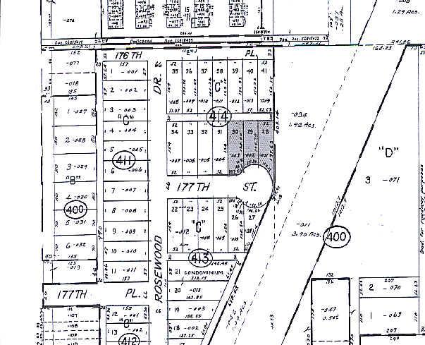
29-25-414-003-0000
Illinois
Apartment
30
B and X Area of moderate flood hazard, usually the area between the limits of the 100-year and 500-year floods.
0.18 AC
2023
Southern Cook County
2025
Chicago
828201
NEARBY LISTINGS FOR SALE OR LEASE
DEMOGRAPHICS near 2134 177Th St
1 mile
3 mile
5 mile
2025 Total Population
9,370
86,065
237,711
2030 Population
9,484
86,683
239,960
Pop Growth 2025-2030
+ 1.22%
+ 0.72%
+ 0.95%
Average Age
42
42
41
2025 Total Households
3,556
33,046
88,859
HH Growth 2025-2030
+ 1.01%
+ 0.51%
+ 0.74%
Median Household Inc
$63,471
$70,915
$65,607
Avg Household Size
2.50
2.50
2.60
2025 Avg HH Vehicles
2.00
2.00
2.00
Median Home Value
$199,548
$185,305
$179,835
Median Year Built
1972
1966
1964
Nearby Places
Map Layers
Map Styles
 Street
 Aerial
Layers
 Traffic
 Biking
Places
Listings with unknown addresses are not visible on the map
- Restaurants
- Banks
- Shops
- Fitness
- Groceries
PUBLIC TRANSPORTATION
COMMUTER RAIL
Harvey Station (Metra Electric Line - Northeast Illinois Regional Commuter Railroad (Metra))
Drive
Walk
Distance
Harvey Station (Metra Electric Line - Northeast Illinois Regional Commuter Railroad (Metra))
14 min
7.5 mi
Dyer Amtrak (Cardinal - Amtrak)
Drive
Walk
Distance
Dyer Amtrak (Cardinal - Amtrak)
15 min
7.8 mi
AIRPORT
Chicago Midway International
Drive
Walk
Distance
Chicago Midway International
37 min
23.7 mi
Freight Ports
Port Milwaukee
Drive
Walk
Distance
Port Milwaukee
140 min
110.3 mi
Nearby Properties
Address
Land Use
TOTAL SIZE
Lot Size
Zoning
Address
Land Use
TOTAL SIZE
Lot Size
Zoning
350,110 SF
24.01 AC
R33
Address
Land Use
TOTAL SIZE
Lot Size
Zoning
24.56 AC
Address
Land Use
TOTAL SIZE
Lot Size
Zoning
Address
Land Use
TOTAL SIZE
Lot Size
Zoning
97,046 SF
3.36 AC
Address
Land Use
TOTAL SIZE
Lot Size
Zoning
149,623 SF
4.93 AC
Address
Land Use
TOTAL SIZE
Lot Size
Zoning
5.01 AC
Address
Land Use
TOTAL SIZE
Lot Size
Zoning
119,082 SF
Address
Land Use
TOTAL SIZE
Lot Size
Zoning
48,134 SF
5.33 AC
Address
Land Use
TOTAL SIZE
Lot Size
Zoning
30,895 SF
3 AC
R33
Address
Land Use
TOTAL SIZE
Lot Size
Zoning
35,000 SF
4.92 AC
R33
Address
Land Use
TOTAL SIZE
Lot Size
Zoning
69,894 SF
7.60 AC
Address
Land Use
TOTAL SIZE
Lot Size
Zoning
56,458 SF
2.17 AC
Address
Land Use
TOTAL SIZE
Lot Size
Zoning
450,777 SF
25.25 AC
Address
Land Use
TOTAL SIZE
Lot Size
Zoning
4,732 SF
2.25 AC
Address
Land Use
TOTAL SIZE
Lot Size
Zoning
22,356 SF
2.42 AC
Address
Land Use
TOTAL SIZE
Lot Size
Zoning
65,442 SF
8.63 AC
Address
Land Use
TOTAL SIZE
Lot Size
Zoning
60,864 SF
5.55 AC
Address
Land Use
TOTAL SIZE
Lot Size
Zoning
14,647 SF
0.88 AC
Address
Land Use
TOTAL SIZE
Lot Size
Zoning
7.31 AC
Address
Land Use
TOTAL SIZE
Lot Size
Zoning
66,118 SF
11.02 AC
Address
Land Use
TOTAL SIZE
Lot Size
Zoning
454,999 SF
27.43 AC
Address
Land Use
TOTAL SIZE
Lot Size
Zoning
40,489 SF
6.43 AC
Address
Land Use
TOTAL SIZE
Lot Size
Zoning
Address
Land Use
TOTAL SIZE
Lot Size
Zoning
44,274 SF
3 AC
Address
Land Use
TOTAL SIZE
Lot Size
Zoning
44,406 SF
0.80 AC
Address
Land Use
TOTAL SIZE
Lot Size
Zoning
1,938 SF
0.72 AC
R33
Address
Land Use
TOTAL SIZE
Lot Size
Zoning
5,175 SF
1.26 AC
Address
Land Use
TOTAL SIZE
Lot Size
Zoning
11,118 SF
1.11 AC
Address
Land Use
TOTAL SIZE
Lot Size
Zoning
28,228 SF
4.63 AC
Address
Land Use
TOTAL SIZE
Lot Size
Zoning
40,168 SF
0.01 AC
The World's #1 Commercial Real Estate Marketplace
Connect with us
© 2026 CoStar Group
The information above has been obtained from sources believed reliable. While we do not doubt its accuracy we have not verified it and make no guarantee, warranty or representation about it. It is your responsibility to independently confirm its accuracy and completeness. Any projections, opinions, assumptions, or estimates used are for example only and do not represent the current or future performance of the property. The value of this transaction to you depends on tax and other factors which should be evaluated by your tax, financial, and legal advisors. You and your advisors should conduct a careful, independent investigation of the property to determine to your satisfaction the suitability of the property for your needs.