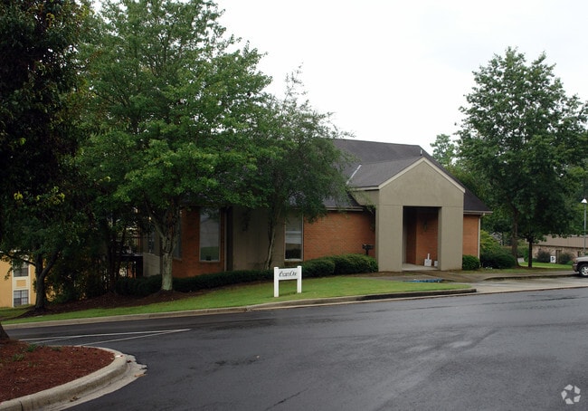
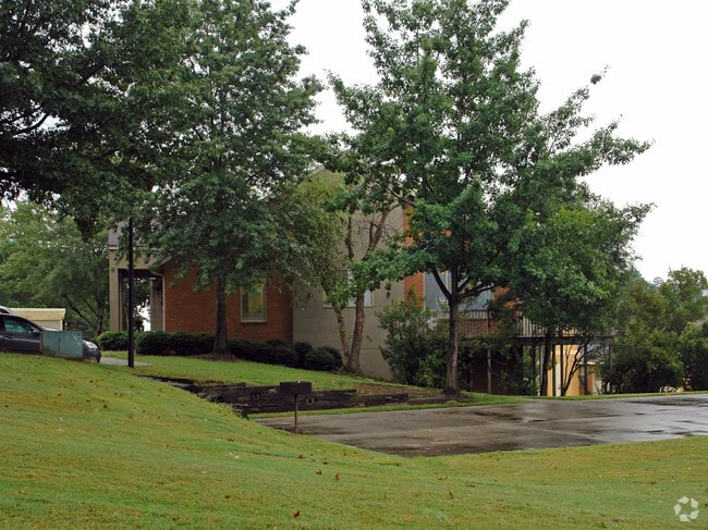
Property Record
2135 Centennial Dr, Hoover, AL 35216

NEARBY LISTINGS FOR SALE OR LEASE
Property Detail
2135 Centennial Dr
Birmingham-Hoover, AL
Rime Village 40-18-1,3 &4
40-00-18-3-000-001.000
PT OF LOT A RIME VILLAGE PB 156 PG 25 LYING IN SW 1/4 OF SECT 18 TWP 19 R 2W
Apartment
Jefferson
X
Alabama
01073C0568J
a
2023
73.91 AC
2024
Hoover
012919
Birmingham
809,198 SF
DEMOGRAPHICS near 2135 Centennial Dr
1 Mile
3 Mile
5 Mile
2024 Total Population
10,439
54,201
119,243
2029 Population
10,091
54,048
119,709
Pop Growth 2024-2029
(3.33%)
(0.28%)
+ 0.39%
Average Age
34
40
40
2024 Total Households
4,999
23,325
48,639
HH Growth 2024-2029
(3.50%)
(0.51%)
+ 0.14%
Median Household Inc
$48,452
$77,070
$87,263
Avg Household Size
2.10
2.30
2.40
2024 Avg HH Vehicles
2.00
2.00
2.00
Median Home Value
$176,145
$308,230
$340,340
Median Year Built
1988
1984
1985
Nearby Places
Map Layers
Map Styles
 Street
 Aerial
- Restaurants
- Banks
- Shops
- Fitness
- Groceries
PUBLIC TRANSPORTATION
AIRPORT
Birmingham-Shuttlesworth International
DRIVE
WALK
Distance
Birmingham-Shuttlesworth International
26 min
16.7 mi
Freight Ports
Port of Mobile
DRIVE
WALK
Distance
Port of Mobile
271 min
246.5 mi
Nearby Properties
Address
Land Use
TOTAL SIZE
Lot Size
Zoning
Address
Land Use
TOTAL SIZE
Lot Size
Zoning
515,818 SF
38 AC
CP
Address
Land Use
TOTAL SIZE
Lot Size
Zoning
501,099 SF
33 AC
PO
Address
Land Use
TOTAL SIZE
Lot Size
Zoning
745,655 SF
16 AC
C-1
Address
Land Use
TOTAL SIZE
Lot Size
Zoning
Address
Land Use
TOTAL SIZE
Lot Size
Zoning
333,513 SF
40.80 AC
C2
Address
Land Use
TOTAL SIZE
Lot Size
Zoning
442,000 SF
36.44 AC
Address
Land Use
TOTAL SIZE
Lot Size
Zoning
267,122 SF
26 AC
PC
Address
Land Use
TOTAL SIZE
Lot Size
Zoning
80,269 SF
2.50 AC
C-1
Address
Land Use
TOTAL SIZE
Lot Size
Zoning
12,200 SF
28.77 AC
Address
Land Use
TOTAL SIZE
Lot Size
Zoning
69,151 SF
4.90 AC
PC
Address
Land Use
TOTAL SIZE
Lot Size
Zoning
240,661 SF
53 AC
Address
Land Use
TOTAL SIZE
Lot Size
Zoning
210,033 SF
7.85 AC
Address
Land Use
TOTAL SIZE
Lot Size
Zoning
365,402 SF
25 AC
R4
Address
Land Use
TOTAL SIZE
Lot Size
Zoning
186,953 SF
20 AC
PR2
Address
Land Use
TOTAL SIZE
Lot Size
Zoning
2,199 SF
23 AC
Address
Land Use
TOTAL SIZE
Lot Size
Zoning
294,855 SF
30 AC
R4
Address
Land Use
TOTAL SIZE
Lot Size
Zoning
18,781 SF
12.09 AC
Address
Land Use
TOTAL SIZE
Lot Size
Zoning
41,980 SF
26.70 AC
PC
Address
Land Use
TOTAL SIZE
Lot Size
Zoning
241,232 SF
15.01 AC
PR2
Address
Land Use
TOTAL SIZE
Lot Size
Zoning
94,094 SF
14.40 AC
PO-P
Address
Land Use
TOTAL SIZE
Lot Size
Zoning
446,170 SF
18.93 AC
PR2
Address
Land Use
TOTAL SIZE
Lot Size
Zoning
165,474 SF
90 AC
PR2
Address
Land Use
TOTAL SIZE
Lot Size
Zoning
160,443 SF
23 AC
C-2
Address
Land Use
TOTAL SIZE
Lot Size
Zoning
238,304 SF
18.90 AC
PR-2
Address
Land Use
TOTAL SIZE
Lot Size
Zoning
200,679 SF
20 AC
PR2
Address
Land Use
TOTAL SIZE
Lot Size
Zoning
176,949 SF
19 AC
PC
Address
Land Use
TOTAL SIZE
Lot Size
Zoning
2,792 SF
15 AC
Address
Land Use
TOTAL SIZE
Lot Size
Zoning
224,746 SF
46 AC
C2
Address
Land Use
TOTAL SIZE
Lot Size
Zoning
218,354 SF
15.23 AC
R4
The World's #1 Commercial Real Estate Marketplace
Connect with us
© 2025 CoStar Group
The information above has been obtained from sources believed reliable. While we do not doubt its accuracy we have not verified it and make no guarantee, warranty or representation about it. It is your responsibility to independently confirm its accuracy and completeness. Any projections, opinions, assumptions, or estimates used are for example only and do not represent the current or future performance of the property. The value of this transaction to you depends on tax and other factors which should be evaluated by your tax, financial, and legal advisors. You and your advisors should conduct a careful, independent investigation of the property to determine to your satisfaction the suitability of the property for your needs.