Property Record
2135 Highway 155 Rd N, Mcdonough, GA 30252
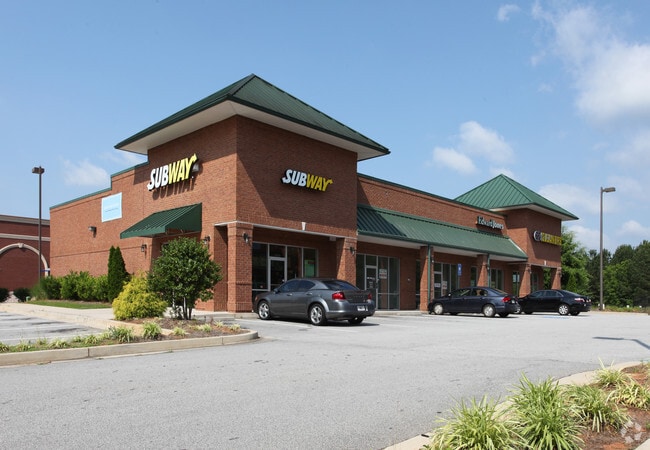

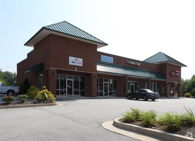

Property Detail
2135 Highway 155 Rd N
0103-02-027-001
LLOT: 6 LDIST:7
Regionalshoppingcenterormallwithanchorstore
HENRY
C1
Georgia
B and X Area of moderate flood hazard, usually the area between the limits of the 100-year and 500-year floods.
6
2025
1.37 AC
2025
McDonough/Butts
070211
Atlanta
14,898 SF
Atlanta-Sandy Springs-Roswell, GA
NEARBY LISTINGS FOR SALE OR LEASE
DEMOGRAPHICS near 2135 Highway 155 Rd N
1 mile
3 mile
5 mile
2025 Total Population
1,601
22,722
76,889
2030 Population
1,721
24,291
82,236
Pop Growth 2025-2030
+ 7.50%
+ 6.91%
+ 6.95%
Average Age
39
40
39
2025 Total Households
518
7,711
26,710
HH Growth 2025-2030
+ 7.92%
+ 7.04%
+ 7.10%
Median Household Inc
$99,137
$96,372
$89,835
Avg Household Size
3.10
2.90
2.80
2025 Avg HH Vehicles
2.00
2.00
2.00
Median Home Value
$420,408
$372,916
$360,309
Median Year Built
1999
1999
2000
Nearby Places
Map Layers
Map Styles
 Street
 Aerial
Transit
 Traffic
 Biking
Places
Listings with unknown addresses are not visible on the map
- Restaurants
- Banks
- Shops
- Fitness
- Groceries
PUBLIC TRANSPORTATION
AIRPORT
Hartsfield - Jackson Atlanta International
Drive
Walk
Distance
Hartsfield - Jackson Atlanta International
33 min
22.8 mi
SALE & LEASE HISTORY
LISTING DATE
SALE/LEASE

Sep 23, 2016
For Sale
Nearby Properties
Address
Land Use
TOTAL SIZE
Lot Size
Zoning
Address
Land Use
TOTAL SIZE
Lot Size
Zoning
13,072 SF
32.50 AC
RM
Address
Land Use
TOTAL SIZE
Lot Size
Zoning
498,160 SF
44.14 AC
M1
Address
Land Use
TOTAL SIZE
Lot Size
Zoning
540,464 SF
86.60 AC
RA
Address
Land Use
TOTAL SIZE
Lot Size
Zoning
367,812 SF
14.88 AC
C2
Address
Land Use
TOTAL SIZE
Lot Size
Zoning
68,500 SF
140.42 AC
R2
Address
Land Use
TOTAL SIZE
Lot Size
Zoning
69,524 SF
11.99 AC
RA
Address
Land Use
TOTAL SIZE
Lot Size
Zoning
25,020 SF
169.25 AC
RA
Address
Land Use
TOTAL SIZE
Lot Size
Zoning
89,514 SF
48.76 AC
Address
Land Use
TOTAL SIZE
Lot Size
Zoning
81,800 SF
31.31 AC
RA
Address
Land Use
TOTAL SIZE
Lot Size
Zoning
116,076 SF
4.55 AC
C3
Address
Land Use
TOTAL SIZE
Lot Size
Zoning
109,203 SF
19.50 AC
RA
Address
Land Use
TOTAL SIZE
Lot Size
Zoning
83,281 SF
15.46 AC
M1
Address
Land Use
TOTAL SIZE
Lot Size
Zoning
51,578 SF
5.75 AC
C3
Address
Land Use
TOTAL SIZE
Lot Size
Zoning
1,818 SF
163.82 AC
RA
Address
Land Use
TOTAL SIZE
Lot Size
Zoning
83,262 SF
30.71 AC
RA
Address
Land Use
TOTAL SIZE
Lot Size
Zoning
48,869 SF
26.62 AC
R2
Address
Land Use
TOTAL SIZE
Lot Size
Zoning
82,676 SF
33.82 AC
RA
Address
Land Use
TOTAL SIZE
Lot Size
Zoning
28,764 SF
20.11 AC
RA
Address
Land Use
TOTAL SIZE
Lot Size
Zoning
23,288 SF
20 AC
OI
Address
Land Use
TOTAL SIZE
Lot Size
Zoning
17,541 SF
1.50 AC
C2
Address
Land Use
TOTAL SIZE
Lot Size
Zoning
127,800 SF
6.70 AC
M1
Address
Land Use
TOTAL SIZE
Lot Size
Zoning
17,955 SF
2.23 AC
Address
Land Use
TOTAL SIZE
Lot Size
Zoning
22,750 SF
4.30 AC
C3
Address
Land Use
TOTAL SIZE
Lot Size
Zoning
22,422 SF
3.03 AC
C1
Address
Land Use
TOTAL SIZE
Lot Size
Zoning
29,900 SF
1.49 AC
C2
Address
Land Use
TOTAL SIZE
Lot Size
Zoning
9,750 SF
3.17 AC
C1
Address
Land Use
TOTAL SIZE
Lot Size
Zoning
201,875 SF
6.42 AC
M1
Address
Land Use
TOTAL SIZE
Lot Size
Zoning
77,200 SF
3.60 AC
M1
Address
Land Use
TOTAL SIZE
Lot Size
Zoning
9,954 SF
1.66 AC
C3
Address
Land Use
TOTAL SIZE
Lot Size
Zoning
8,380 SF
1.17 AC
C2
The World's #1 Commercial Real Estate Marketplace
Connect with us
© 2026 CoStar Group
The information above has been obtained from sources believed reliable. While we do not doubt its accuracy we have not verified it and make no guarantee, warranty or representation about it. It is your responsibility to independently confirm its accuracy and completeness. Any projections, opinions, assumptions, or estimates used are for example only and do not represent the current or future performance of the property. The value of this transaction to you depends on tax and other factors which should be evaluated by your tax, financial, and legal advisors. You and your advisors should conduct a careful, independent investigation of the property to determine to your satisfaction the suitability of the property for your needs.