Property Record
2139 Taraval St, San Francisco, CA 94116


Save to a Folder
{{folder.Name}}
{{folder.ListingIds.length}} Properties
{{folder.ListingIds.length}} Property
Create a New Folder
This Property Is For Sale
Property Detail
2139 Taraval St
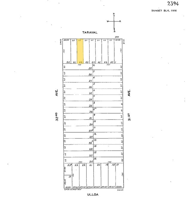
2394-042
San Francisco
Retailwithmorethanonenonretailuse
California
NC2
42
2024
0.06 AC
2025
Southern City
033001
San Francisco
1,925 SF
San Francisco-San Mateo-Redwood City, CA
NEARBY LISTINGS FOR SALE OR LEASE
-
-
-
-
-
No Photo
-
-
-
View all San Francisco listings for sale on LoopNet.com
DEMOGRAPHICS near 2139 Taraval St
1 mile
3 mile
5 mile
2025 Total Population
43,739
272,537
699,844
2030 Population
43,443
274,132
705,382
Pop Growth 2025-2030
(0.68%)
+ 0.59%
+ 0.79%
Average Age
45
44
43
2025 Total Households
14,896
103,118
273,645
HH Growth 2025-2030
(0.79%)
+ 0.67%
+ 0.96%
Median Household Inc
$141,363
$139,238
$134,760
Avg Household Size
2.80
2.50
2.40
2025 Avg HH Vehicles
2.00
1.00
1.00
Median Home Value
$1,126,496
$1,112,230
$1,097,993
Median Year Built
1946
1948
1948
Nearby Places
Map Layers
Map Styles
 Street
 Aerial
Layers
 Traffic
 Biking
Places
Listings with unknown addresses are not visible on the map
- Restaurants
- Banks
- Shops
- Fitness
- Groceries
PUBLIC TRANSPORTATION
COMMUTER RAIL
Drive
Walk
Distance
15 min
7.0 mi
Drive
Walk
Distance
17 min
9.0 mi
AIRPORT
San Francisco International
Drive
Walk
Distance
San Francisco International
23 min
13.5 mi
Metro Oakland International
Drive
Walk
Distance
Metro Oakland International
45 min
27.6 mi
Norman Y Mineta San Jose International
Drive
Walk
Distance
Norman Y Mineta San Jose International
59 min
45.1 mi
Freight Ports
Port of San Francisco
Drive
Walk
Distance
Port of San Francisco
21 min
11.0 mi
Nearby Properties
Address
Land Use
TOTAL SIZE
Lot Size
Zoning
Address
Land Use
TOTAL SIZE
Lot Size
Zoning
411,904 SF
21.74 AC
C2
Address
Land Use
TOTAL SIZE
Lot Size
Zoning
4.41 AC
RH-3/RM-2
Address
Land Use
TOTAL SIZE
Lot Size
Zoning
2.03 AC
C2
Address
Land Use
TOTAL SIZE
Lot Size
Zoning
88,900 SF
5.37 AC
NCS
Address
Land Use
TOTAL SIZE
Lot Size
Zoning
11.31 AC
RM2
Address
Land Use
TOTAL SIZE
Lot Size
Zoning
160,983 SF
1.84 AC
NC2
Address
Land Use
TOTAL SIZE
Lot Size
Zoning
90,539 SF
2.28 AC
RH2
Address
Land Use
TOTAL SIZE
Lot Size
Zoning
Address
Land Use
TOTAL SIZE
Lot Size
Zoning
73,491 SF
4.48 AC
C2
Address
Land Use
TOTAL SIZE
Lot Size
Zoning
146,036 SF
0.49 AC
RH3
Address
Land Use
TOTAL SIZE
Lot Size
Zoning
176,000 SF
1.64 AC
C2
Address
Land Use
TOTAL SIZE
Lot Size
Zoning
54,131 SF
1.75 AC
C2
Address
Land Use
TOTAL SIZE
Lot Size
Zoning
76,000 SF
1.48 AC
RM4
Address
Land Use
TOTAL SIZE
Lot Size
Zoning
194,477 SF
11.37 AC
RH1
Address
Land Use
TOTAL SIZE
Lot Size
Zoning
87,525 SF
1.65 AC
RM1
Address
Land Use
TOTAL SIZE
Lot Size
Zoning
205,770 SF
3.37 AC
RM4
Address
Land Use
TOTAL SIZE
Lot Size
Zoning
6.80 AC
RM1
Address
Land Use
TOTAL SIZE
Lot Size
Zoning
81,756 SF
5.39 AC
RH1D
Address
Land Use
TOTAL SIZE
Lot Size
Zoning
66,986 SF
4.91 AC
NCS
Address
Land Use
TOTAL SIZE
Lot Size
Zoning
2.01 AC
RM1
Address
Land Use
TOTAL SIZE
Lot Size
Zoning
136,892 SF
0.96 AC
Address
Land Use
TOTAL SIZE
Lot Size
Zoning
6.18 AC
RM1
Address
Land Use
TOTAL SIZE
Lot Size
Zoning
108,970 SF
7 AC
NCS
Address
Land Use
TOTAL SIZE
Lot Size
Zoning
116,946 SF
0.91 AC
Address
Land Use
TOTAL SIZE
Lot Size
Zoning
13,300 SF
6.38 AC
C2
Address
Land Use
TOTAL SIZE
Lot Size
Zoning
123,349 SF
0.96 AC
Address
Land Use
TOTAL SIZE
Lot Size
Zoning
113,794 SF
0.78 AC
Address
Land Use
TOTAL SIZE
Lot Size
Zoning
97,593 SF
0.71 AC
Address
Land Use
TOTAL SIZE
Lot Size
Zoning
52,000 SF
2.32 AC
NCS
Address
Land Use
TOTAL SIZE
Lot Size
Zoning
70,120 SF
6.35 AC
RM2
The World's #1 Commercial Real Estate Marketplace
Connect with us
© 2026 CoStar Group
The information above has been obtained from sources believed reliable. While we do not doubt its accuracy we have not verified it and make no guarantee, warranty or representation about it. It is your responsibility to independently confirm its accuracy and completeness. Any projections, opinions, assumptions, or estimates used are for example only and do not represent the current or future performance of the property. The value of this transaction to you depends on tax and other factors which should be evaluated by your tax, financial, and legal advisors. You and your advisors should conduct a careful, independent investigation of the property to determine to your satisfaction the suitability of the property for your needs.