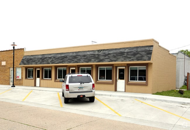
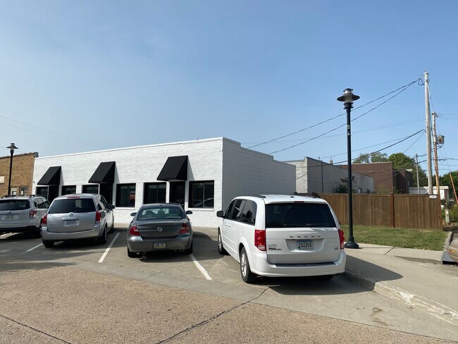
Property Record
214 Sw Walnut St, Ankeny, IA 50023
NEARBY LISTINGS FOR SALE OR LEASE
Property Detail
214 Sw Walnut St
Des Moines-West Des Moines, IA
Town Of Ankeny
181-00125002000
N 82.3F E 30F LTS 4 & 5 BLK 4 TOWN OF ANKENY
Officebuilding
Polk
X
Iowa
19153C0205F
4,5
2024
0.06 AC
2025
Ankeny
010205
Des Moines
1,456 SF
DEMOGRAPHICS near 214 Sw Walnut St
1 Mile
3 Mile
5 Mile
2024 Total Population
10,962
70,929
83,481
2029 Population
11,383
74,621
87,718
Pop Growth 2024-2029
+ 3.84%
+ 5.21%
+ 5.08%
Average Age
38
37
37
2024 Total Households
4,505
27,737
32,153
HH Growth 2024-2029
+ 4.08%
+ 5.37%
+ 5.24%
Median Household Inc
$82,952
$92,336
$93,932
Avg Household Size
2.30
2.50
2.50
2024 Avg HH Vehicles
2.00
2.00
2.00
Median Home Value
$209,021
$276,990
$284,823
Median Year Built
1975
2005
2004
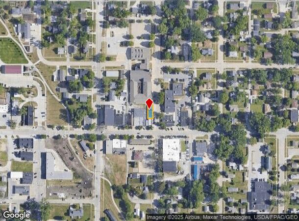
Nearby Places
Map Layers
Map Styles
 Street
 Aerial
- Restaurants
- Banks
- Shops
- Fitness
- Groceries
PUBLIC TRANSPORTATION
AIRPORT
Des Moines International
DRIVE
WALK
Distance
Des Moines International
31 min
17.3 mi
Freight Ports
Port Milwaukee
DRIVE
WALK
Distance
Port Milwaukee
418 min
375.3 mi
SALE & LEASE HISTORY
LISTING DATE
SALE/LEASE

Feb 06, 2020
For Lease
Nearby Properties
Address
Land Use
TOTAL SIZE
Lot Size
Zoning
Address
Land Use
TOTAL SIZE
Lot Size
Zoning
2,732,552 SF
443.35 AC
Address
Land Use
TOTAL SIZE
Lot Size
Zoning
723,056 SF
83.96 AC
M1
Address
Land Use
TOTAL SIZE
Lot Size
Zoning
519,216 SF
42.20 AC
Address
Land Use
TOTAL SIZE
Lot Size
Zoning
272,072 SF
11.70 AC
Address
Land Use
TOTAL SIZE
Lot Size
Zoning
296,500 SF
24.36 AC
Address
Land Use
TOTAL SIZE
Lot Size
Zoning
210,696 SF
6.57 AC
Address
Land Use
TOTAL SIZE
Lot Size
Zoning
644,942 SF
60.73 AC
M-1
Address
Land Use
TOTAL SIZE
Lot Size
Zoning
100,751 SF
12.67 AC
C-2
Address
Land Use
TOTAL SIZE
Lot Size
Zoning
263,250 SF
30.10 AC
M-1
Address
Land Use
TOTAL SIZE
Lot Size
Zoning
198,454 SF
12.04 AC
Address
Land Use
TOTAL SIZE
Lot Size
Zoning
254,801 SF
20.05 AC
Address
Land Use
TOTAL SIZE
Lot Size
Zoning
140,045 SF
9.29 AC
Address
Land Use
TOTAL SIZE
Lot Size
Zoning
143,249 SF
7.19 AC
Address
Land Use
TOTAL SIZE
Lot Size
Zoning
90,381 SF
19.28 AC
R-3
Address
Land Use
TOTAL SIZE
Lot Size
Zoning
143,012 SF
1.75 AC
Address
Land Use
TOTAL SIZE
Lot Size
Zoning
170,692 SF
6.54 AC
Address
Land Use
TOTAL SIZE
Lot Size
Zoning
96,344 SF
13.39 AC
PUD
Address
Land Use
TOTAL SIZE
Lot Size
Zoning
63,664 SF
9.02 AC
Address
Land Use
TOTAL SIZE
Lot Size
Zoning
175,424 SF
8.01 AC
Address
Land Use
TOTAL SIZE
Lot Size
Zoning
162,384 SF
11.16 AC
R-3
Address
Land Use
TOTAL SIZE
Lot Size
Zoning
211,986 SF
20.98 AC
Address
Land Use
TOTAL SIZE
Lot Size
Zoning
144,992 SF
6.03 AC
Address
Land Use
TOTAL SIZE
Lot Size
Zoning
174,602 SF
15.47 AC
Address
Land Use
TOTAL SIZE
Lot Size
Zoning
116,213 SF
11.01 AC
C2
Address
Land Use
TOTAL SIZE
Lot Size
Zoning
122,066 SF
5.27 AC
Address
Land Use
TOTAL SIZE
Lot Size
Zoning
138,483 SF
10.02 AC
Address
Land Use
TOTAL SIZE
Lot Size
Zoning
150,733 SF
18.57 AC
M-1
Address
Land Use
TOTAL SIZE
Lot Size
Zoning
51,004 SF
4.39 AC
PUD
Address
Land Use
TOTAL SIZE
Lot Size
Zoning
291,855 SF
25.66 AC
M-1
Address
Land Use
TOTAL SIZE
Lot Size
Zoning
99,775 SF
11.26 AC
C-2
The World's #1 Commercial Real Estate Marketplace
Connect with us
© 2025 CoStar Group
The information above has been obtained from sources believed reliable. While we do not doubt its accuracy we have not verified it and make no guarantee, warranty or representation about it. It is your responsibility to independently confirm its accuracy and completeness. Any projections, opinions, assumptions, or estimates used are for example only and do not represent the current or future performance of the property. The value of this transaction to you depends on tax and other factors which should be evaluated by your tax, financial, and legal advisors. You and your advisors should conduct a careful, independent investigation of the property to determine to your satisfaction the suitability of the property for your needs.