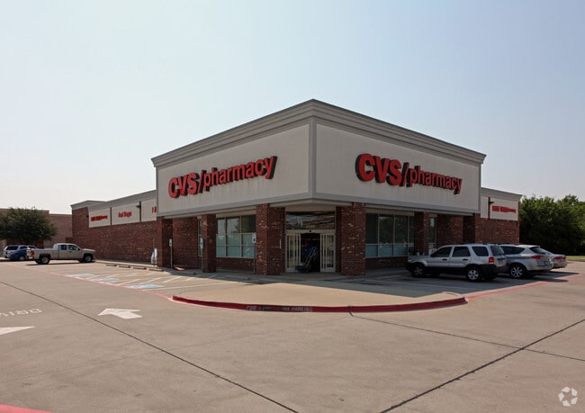
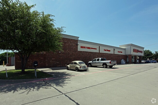
Property Record
2140 Hedgcoxe Rd, Plano, TX 75025

Property Detail
2140 Hedgcoxe Rd
Dallas-Fort Worth-Arlington, TX
Hedgcoxe-Custer Addition (Cpl)
R-5107-00A-0010-1
HEDGCOXE-CUSTER ADDITION, BLK A, LOT 1
Commercialnec
Collin
X
Texas
48085C0380K
1
2024
1.54 AC
2025
Central Plano
031630
Dallas/Ft Worth
14,578 SF
NEARBY LISTINGS FOR SALE OR LEASE
DEMOGRAPHICS near 2140 Hedgcoxe Rd
1 mile
3 mile
5 mile
2024 Total Population
18,704
145,070
372,945
2029 Population
22,629
176,119
454,712
Pop Growth 2024-2029
+ 20.98%
+ 21.40%
+ 21.92%
Average Age
41
40
39
2024 Total Households
6,190
52,179
139,237
HH Growth 2024-2029
+ 21.20%
+ 21.80%
+ 22.24%
Median Household Inc
$134,276
$120,536
$108,073
Avg Household Size
3.00
2.70
2.60
2024 Avg HH Vehicles
2.00
2.00
2.00
Median Home Value
$380,920
$409,317
$404,190
Median Year Built
1993
1994
1996
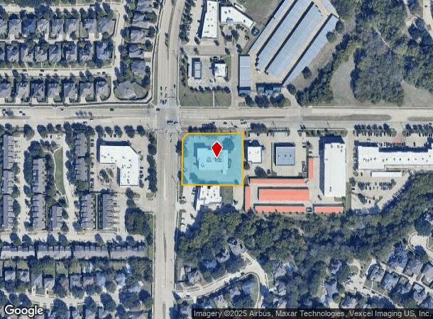
Nearby Places
Map Layers
Map Styles
 Street
 Aerial
Transit
 Traffic
 Biking
Places
Listings with unknown addresses are not visible on the map
- Restaurants
- Banks
- Shops
- Fitness
- Groceries
PUBLIC TRANSPORTATION
AIRPORT
Dallas Love Field
Drive
Walk
Distance
Dallas Love Field
37 min
25.2 mi
Dallas-Fort Worth International
Drive
Walk
Distance
Dallas-Fort Worth International
37 min
27.7 mi
Nearby Properties
Address
Land Use
TOTAL SIZE
Lot Size
Zoning
Address
Land Use
TOTAL SIZE
Lot Size
Zoning
649,703 SF
31.92 AC
MF
Address
Land Use
TOTAL SIZE
Lot Size
Zoning
384,753 SF
7.68 AC
Address
Land Use
TOTAL SIZE
Lot Size
Zoning
419,994 SF
19.83 AC
MF-M
Address
Land Use
TOTAL SIZE
Lot Size
Zoning
442,484 SF
APTS
Address
Land Use
TOTAL SIZE
Lot Size
Zoning
584,548 SF
33.76 AC
MF
Address
Land Use
TOTAL SIZE
Lot Size
Zoning
465,405 SF
6.47 AC
Address
Land Use
TOTAL SIZE
Lot Size
Zoning
537,872 SF
36.28 AC
MF
Address
Land Use
TOTAL SIZE
Lot Size
Zoning
393,074 SF
24.03 AC
MFM
Address
Land Use
TOTAL SIZE
Lot Size
Zoning
294,229 SF
32.11 AC
Address
Land Use
TOTAL SIZE
Lot Size
Zoning
308,854 SF
16.62 AC
Address
Land Use
TOTAL SIZE
Lot Size
Zoning
445,959 SF
4.55 AC
MF-E
Address
Land Use
TOTAL SIZE
Lot Size
Zoning
471,114 SF
26.05 AC
MF-M
Address
Land Use
TOTAL SIZE
Lot Size
Zoning
384,052 SF
7.78 AC
MF-R
Address
Land Use
TOTAL SIZE
Lot Size
Zoning
400,049 SF
34.67 AC
MF-L
Address
Land Use
TOTAL SIZE
Lot Size
Zoning
212,880 SF
2.63 AC
CO-COMMERC
Address
Land Use
TOTAL SIZE
Lot Size
Zoning
317,862 SF
4.04 AC
Address
Land Use
TOTAL SIZE
Lot Size
Zoning
457,656 SF
23.19 AC
MF-H
Address
Land Use
TOTAL SIZE
Lot Size
Zoning
443,704 SF
18.87 AC
MFM
Address
Land Use
TOTAL SIZE
Lot Size
Zoning
297,331 SF
3.77 AC
Address
Land Use
TOTAL SIZE
Lot Size
Zoning
408,042 SF
18.47 AC
MF-M
Address
Land Use
TOTAL SIZE
Lot Size
Zoning
216,665 SF
12.17 AC
Address
Land Use
TOTAL SIZE
Lot Size
Zoning
365,341 SF
15.26 AC
MF-M
Address
Land Use
TOTAL SIZE
Lot Size
Zoning
213,415 SF
16.94 AC
Address
Land Use
TOTAL SIZE
Lot Size
Zoning
291,184 SF
21.03 AC
MF-M
Address
Land Use
TOTAL SIZE
Lot Size
Zoning
337,052 SF
5.33 AC
PD
Address
Land Use
TOTAL SIZE
Lot Size
Zoning
334,313 SF
22.10 AC
Address
Land Use
TOTAL SIZE
Lot Size
Zoning
299,442 SF
25.48 AC
PD-329 COM
Address
Land Use
TOTAL SIZE
Lot Size
Zoning
237,395 SF
19.43 AC
Address
Land Use
TOTAL SIZE
Lot Size
Zoning
363,466 SF
22.42 AC
MF-H
Address
Land Use
TOTAL SIZE
Lot Size
Zoning
283,040 SF
16 AC
MF-M
The World's #1 Commercial Real Estate Marketplace
Connect with us
© 2026 CoStar Group
The information above has been obtained from sources believed reliable. While we do not doubt its accuracy we have not verified it and make no guarantee, warranty or representation about it. It is your responsibility to independently confirm its accuracy and completeness. Any projections, opinions, assumptions, or estimates used are for example only and do not represent the current or future performance of the property. The value of this transaction to you depends on tax and other factors which should be evaluated by your tax, financial, and legal advisors. You and your advisors should conduct a careful, independent investigation of the property to determine to your satisfaction the suitability of the property for your needs.