Property Record
2149 Us Highway 80 E, Abilene, TX 79601


Save to a Folder
{{folder.Name}}
{{folder.ListingIds.length}} Properties
{{folder.ListingIds.length}} Property
Create a New Folder
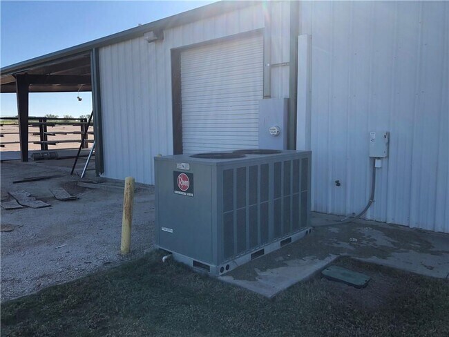
Property Detail
2149 Us Highway 80 E
Abilene, TX
BARTEE SUB, BLOCK A, LOT 1, ACRES 4.559
207432
Taylor
Multipleuses
Texas
B and X Area of moderate flood hazard, usually the area between the limits of the 100-year and 500-year floods.
1
2024
4.56 AC
2025
Abilene
010900
Other Market Areas
7,200 SF
NEARBY LISTINGS FOR SALE OR LEASE
DEMOGRAPHICS near 2149 Us Highway 80 E
1 mile
3 mile
5 mile
2025 Total Population
2,454
22,173
69,823
2030 Population
2,519
23,097
72,397
Pop Growth 2025-2030
+ 2.65%
+ 4.17%
+ 3.69%
Average Age
37
37
37
2025 Total Households
1,038
8,548
26,302
HH Growth 2025-2030
+ 2.89%
+ 4.27%
+ 3.86%
Median Household Inc
$61,743
$54,753
$54,471
Avg Household Size
2.20
2.20
2.40
2025 Avg HH Vehicles
2.00
2.00
2.00
Median Home Value
$188,823
$213,775
$157,196
Median Year Built
1985
1981
1962
Nearby Places
Map Layers
Map Styles
 Street
 Aerial
Layers
 Traffic
 Biking
Places
Listings with unknown addresses are not visible on the map
- Restaurants
- Banks
- Shops
- Fitness
- Groceries
PUBLIC TRANSPORTATION
AIRPORT
Abilene Regional
Drive
Walk
Distance
Abilene Regional
7 min
3.1 mi
SALE & LEASE HISTORY
LISTING DATE
SALE/LEASE

Feb 16, 2021
For Sale
Nearby Properties
Address
Land Use
TOTAL SIZE
Lot Size
Zoning
Address
Land Use
TOTAL SIZE
Lot Size
Zoning
812,955 SF
99.27 AC
Address
Land Use
TOTAL SIZE
Lot Size
Zoning
241,730 SF
51.89 AC
Address
Land Use
TOTAL SIZE
Lot Size
Zoning
169,821 SF
3.59 AC
Address
Land Use
TOTAL SIZE
Lot Size
Zoning
283,878 SF
76.01 AC
Address
Land Use
TOTAL SIZE
Lot Size
Zoning
411,104 SF
91.21 AC
Address
Land Use
TOTAL SIZE
Lot Size
Zoning
325,355 SF
9.83 AC
Address
Land Use
TOTAL SIZE
Lot Size
Zoning
115,568 SF
23.57 AC
Address
Land Use
TOTAL SIZE
Lot Size
Zoning
212,450 SF
9.43 AC
Address
Land Use
TOTAL SIZE
Lot Size
Zoning
108,121 SF
15 AC
Address
Land Use
TOTAL SIZE
Lot Size
Zoning
728,862 SF
102.37 AC
Address
Land Use
TOTAL SIZE
Lot Size
Zoning
58,988 SF
1,463.70 AC
Address
Land Use
TOTAL SIZE
Lot Size
Zoning
620,165 SF
107.40 AC
Address
Land Use
TOTAL SIZE
Lot Size
Zoning
166,224 SF
8.79 AC
Address
Land Use
TOTAL SIZE
Lot Size
Zoning
229,988 SF
9.22 AC
Address
Land Use
TOTAL SIZE
Lot Size
Zoning
88,656 SF
4.14 AC
Address
Land Use
TOTAL SIZE
Lot Size
Zoning
84,335 SF
4.68 AC
Address
Land Use
TOTAL SIZE
Lot Size
Zoning
52,028 SF
3.62 AC
Address
Land Use
TOTAL SIZE
Lot Size
Zoning
67,593 SF
49.82 AC
Address
Land Use
TOTAL SIZE
Lot Size
Zoning
209,580 SF
20.94 AC
Address
Land Use
TOTAL SIZE
Lot Size
Zoning
130,048 SF
8.22 AC
Address
Land Use
TOTAL SIZE
Lot Size
Zoning
101,812 SF
6.28 AC
Address
Land Use
TOTAL SIZE
Lot Size
Zoning
60,944 SF
2.86 AC
Address
Land Use
TOTAL SIZE
Lot Size
Zoning
4,500 SF
18.85 AC
Address
Land Use
TOTAL SIZE
Lot Size
Zoning
42,509 SF
8.63 AC
Address
Land Use
TOTAL SIZE
Lot Size
Zoning
38,150 SF
3.52 AC
Address
Land Use
TOTAL SIZE
Lot Size
Zoning
54,844 SF
12.70 AC
Address
Land Use
TOTAL SIZE
Lot Size
Zoning
108,695 SF
4 AC
Address
Land Use
TOTAL SIZE
Lot Size
Zoning
67,823 SF
14.89 AC
Address
Land Use
TOTAL SIZE
Lot Size
Zoning
234,447 SF
19.56 AC
Address
Land Use
TOTAL SIZE
Lot Size
Zoning
473,106 SF
4.68 AC
The World's #1 Commercial Real Estate Marketplace
Connect with us
© 2026 CoStar Group
The information above has been obtained from sources believed reliable. While we do not doubt its accuracy we have not verified it and make no guarantee, warranty or representation about it. It is your responsibility to independently confirm its accuracy and completeness. Any projections, opinions, assumptions, or estimates used are for example only and do not represent the current or future performance of the property. The value of this transaction to you depends on tax and other factors which should be evaluated by your tax, financial, and legal advisors. You and your advisors should conduct a careful, independent investigation of the property to determine to your satisfaction the suitability of the property for your needs.