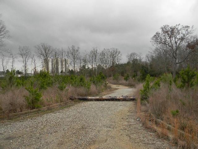
Property Record
215 Camak Dr, Athens, GA 30607
NEARBY LISTINGS FOR SALE OR LEASE
Property Detail
215 Camak Dr
Athens-Clarke County, GA
Com-St-034->00-03
111A-009
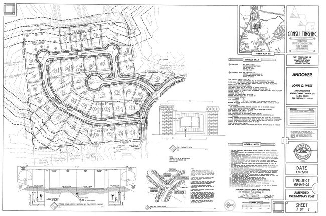
LOT: 27-29;
Residentialacreage
Clarke
X
Georgia
13059C0014E
27-29
2025
2.88 AC
2025
North Athens
010602
Other Market Areas
DEMOGRAPHICS near 215 Camak Dr
1 Mile
3 Mile
5 Mile
2024 Total Population
4,656
27,454
86,672
2029 Population
4,675
27,639
87,747
Pop Growth 2024-2029
+ 0.41%
+ 0.67%
+ 1.24%
Average Age
37
37
35
2024 Total Households
1,640
11,016
33,423
HH Growth 2024-2029
+ 0.49%
+ 0.68%
+ 1.16%
Median Household Inc
$64,467
$56,212
$49,086
Avg Household Size
2.70
2.40
2.20
2024 Avg HH Vehicles
2.00
2.00
2.00
Median Home Value
$223,585
$251,457
$270,202
Median Year Built
1984
1977
1984
Nearby Places
Map Layers
Map Styles
 Street
 Aerial
- Restaurants
- Banks
- Shops
- Fitness
- Groceries
Nearby Properties
Address
Land Use
TOTAL SIZE
Lot Size
Zoning
Address
Land Use
TOTAL SIZE
Lot Size
Zoning
11.36 AC
G
Address
Land Use
TOTAL SIZE
Lot Size
Zoning
85,608 SF
63.75 AC
RM-2
Address
Land Use
TOTAL SIZE
Lot Size
Zoning
56.15 AC
G
Address
Land Use
TOTAL SIZE
Lot Size
Zoning
112,071 SF
5.27 AC
E-O
Address
Land Use
TOTAL SIZE
Lot Size
Zoning
77,919 SF
8 AC
E-I
Address
Land Use
TOTAL SIZE
Lot Size
Zoning
1,672 SF
23.70 AC
RM-2
Address
Land Use
TOTAL SIZE
Lot Size
Zoning
9,956 SF
7.20 AC
E-O(PD)
Address
Land Use
TOTAL SIZE
Lot Size
Zoning
49.58 AC
G
Address
Land Use
TOTAL SIZE
Lot Size
Zoning
10,490 SF
5.16 AC
C-G
Address
Land Use
TOTAL SIZE
Lot Size
Zoning
58,706 SF
12.86 AC
C-G
Address
Land Use
TOTAL SIZE
Lot Size
Zoning
26.86 AC
G
Address
Land Use
TOTAL SIZE
Lot Size
Zoning
32,000 SF
4.35 AC
C-G
Address
Land Use
TOTAL SIZE
Lot Size
Zoning
20.74 AC
G
Address
Land Use
TOTAL SIZE
Lot Size
Zoning
3,223 SF
17.81 AC
RS-5
Address
Land Use
TOTAL SIZE
Lot Size
Zoning
19.21 AC
G
Address
Land Use
TOTAL SIZE
Lot Size
Zoning
4,148 SF
7.04 AC
RM-1
Address
Land Use
TOTAL SIZE
Lot Size
Zoning
11,890 SF
6.60 AC
C-G
Address
Land Use
TOTAL SIZE
Lot Size
Zoning
664,513 SF
84.46 AC
I
Address
Land Use
TOTAL SIZE
Lot Size
Zoning
106,760 SF
10.38 AC
E-O
Address
Land Use
TOTAL SIZE
Lot Size
Zoning
8.27 AC
G
Address
Land Use
TOTAL SIZE
Lot Size
Zoning
1.25 AC
G
Address
Land Use
TOTAL SIZE
Lot Size
Zoning
39.94 AC
C-O
Address
Land Use
TOTAL SIZE
Lot Size
Zoning
33,669 SF
1.32 AC
C-N
Address
Land Use
TOTAL SIZE
Lot Size
Zoning
121,382 SF
16.01 AC
C-G
Address
Land Use
TOTAL SIZE
Lot Size
Zoning
2,100 SF
7.14 AC
RM-1
Address
Land Use
TOTAL SIZE
Lot Size
Zoning
31,067 SF
5.05 AC
C-O
Address
Land Use
TOTAL SIZE
Lot Size
Zoning
50,946 SF
1.46 AC
C-G
Address
Land Use
TOTAL SIZE
Lot Size
Zoning
1,378 SF
21.13 AC
RM-1
Address
Land Use
TOTAL SIZE
Lot Size
Zoning
1.78 AC
G
Address
Land Use
TOTAL SIZE
Lot Size
Zoning
36,878 SF
1.33 AC
C-N
The World's #1 Commercial Real Estate Marketplace
Connect with us
© 2025 CoStar Group
The information above has been obtained from sources believed reliable. While we do not doubt its accuracy we have not verified it and make no guarantee, warranty or representation about it. It is your responsibility to independently confirm its accuracy and completeness. Any projections, opinions, assumptions, or estimates used are for example only and do not represent the current or future performance of the property. The value of this transaction to you depends on tax and other factors which should be evaluated by your tax, financial, and legal advisors. You and your advisors should conduct a careful, independent investigation of the property to determine to your satisfaction the suitability of the property for your needs.