Property Record
215 Gregson Dr, Cary, NC 27511


NEARBY LISTINGS FOR SALE OR LEASE
Property Detail
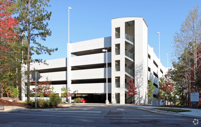
215 Gregson Dr
Raleigh, NC
Rcmb Siemens Real Estate I
0752.16-82-3554-000
LO22B RCMB SIEMENS REAL ESTATE INC BM201
Officebuilding
Wake
X
North Carolina
3720075200K
22b
2025
5.84 AC
2025
Cary
053419
Raleigh/Durham
307,248 SF
DEMOGRAPHICS near 215 Gregson Dr
1 Mile
3 Mile
5 Mile
2024 Total Population
3,233
62,734
174,889
2029 Population
3,486
67,858
189,182
Pop Growth 2024-2029
+ 7.83%
+ 8.17%
+ 8.17%
Average Age
45
43
40
2024 Total Households
1,212
25,050
67,775
HH Growth 2024-2029
+ 7.92%
+ 8.21%
+ 8.24%
Median Household Inc
$154,848
$112,668
$108,650
Avg Household Size
2.60
2.50
2.50
2024 Avg HH Vehicles
2.00
2.00
2.00
Median Home Value
$652,854
$420,447
$416,131
Median Year Built
1994
1992
1995
Nearby Places
Map Layers
Map Styles
 Street
 Aerial
- Restaurants
- Banks
- Shops
- Fitness
- Groceries
PUBLIC TRANSPORTATION
COMMUTER RAIL
Cary Station (Piedmont - North Carolina by Train (NC Train))
DRIVE
WALK
Distance
Cary Station (Piedmont - North Carolina by Train (NC Train))
12 min
5.6 mi
AIRPORT
Raleigh-Durham International
DRIVE
WALK
Distance
Raleigh-Durham International
25 min
15.8 mi
Nearby Properties
Address
Land Use
TOTAL SIZE
Lot Size
Zoning
Address
Land Use
TOTAL SIZE
Lot Size
Zoning
633,930 SF
23.01 AC
OI
Address
Land Use
TOTAL SIZE
Lot Size
Zoning
439,439 SF
30.59 AC
OICU
Address
Land Use
TOTAL SIZE
Lot Size
Zoning
433,914 SF
11.81 AC
MXD
Address
Land Use
TOTAL SIZE
Lot Size
Zoning
441,502 SF
15.42 AC
OIM
Address
Land Use
TOTAL SIZE
Lot Size
Zoning
450,107 SF
30.16 AC
HD MF
Address
Land Use
TOTAL SIZE
Lot Size
Zoning
280,706 SF
15.38 AC
PUD-C
Address
Land Use
TOTAL SIZE
Lot Size
Zoning
364,727 SF
27.65 AC
RMF-C
Address
Land Use
TOTAL SIZE
Lot Size
Zoning
194,462 SF
21.62 AC
OICU
Address
Land Use
TOTAL SIZE
Lot Size
Zoning
338,234 SF
18.77 AC
PUD-C
Address
Land Use
TOTAL SIZE
Lot Size
Zoning
260,809 SF
18.80 AC
HD MF
Address
Land Use
TOTAL SIZE
Lot Size
Zoning
260,777 SF
22.54 AC
GCCU
Address
Land Use
TOTAL SIZE
Lot Size
Zoning
270,753 SF
20.56 AC
RMFP
Address
Land Use
TOTAL SIZE
Lot Size
Zoning
172,976 SF
12.55 AC
RMFM
Address
Land Use
TOTAL SIZE
Lot Size
Zoning
291,597 SF
20.58 AC
OIP
Address
Land Use
TOTAL SIZE
Lot Size
Zoning
145,001 SF
20.31 AC
PC-CZ
Address
Land Use
TOTAL SIZE
Lot Size
Zoning
225,296 SF
9.57 AC
PUD-C
Address
Land Use
TOTAL SIZE
Lot Size
Zoning
140,005 SF
16.89 AC
LD
Address
Land Use
TOTAL SIZE
Lot Size
Zoning
210,686 SF
14.57 AC
PUD-C
Address
Land Use
TOTAL SIZE
Lot Size
Zoning
157,686 SF
35.03 AC
RA
Address
Land Use
TOTAL SIZE
Lot Size
Zoning
209,191 SF
48.77 AC
LD
Address
Land Use
TOTAL SIZE
Lot Size
Zoning
121,224 SF
11.47 AC
MD
Address
Land Use
TOTAL SIZE
Lot Size
Zoning
174,376 SF
17.47 AC
RMFP
Address
Land Use
TOTAL SIZE
Lot Size
Zoning
207,360 SF
12.80 AC
RMFP
Address
Land Use
TOTAL SIZE
Lot Size
Zoning
183,716 SF
18.22 AC
RMF-C
Address
Land Use
TOTAL SIZE
Lot Size
Zoning
142,976 SF
12.82 AC
GCP
Address
Land Use
TOTAL SIZE
Lot Size
Zoning
186,745 SF
18.73 AC
RMFP
Address
Land Use
TOTAL SIZE
Lot Size
Zoning
302,498 SF
25.99 AC
LI-CZ
Address
Land Use
TOTAL SIZE
Lot Size
Zoning
161,210 SF
12.70 AC
RMFP
Address
Land Use
TOTAL SIZE
Lot Size
Zoning
206,382 SF
14.90 AC
GCP
Address
Land Use
TOTAL SIZE
Lot Size
Zoning
134,040 SF
3.36 AC
OIM
The World's #1 Commercial Real Estate Marketplace
Connect with us
© 2025 CoStar Group
The information above has been obtained from sources believed reliable. While we do not doubt its accuracy we have not verified it and make no guarantee, warranty or representation about it. It is your responsibility to independently confirm its accuracy and completeness. Any projections, opinions, assumptions, or estimates used are for example only and do not represent the current or future performance of the property. The value of this transaction to you depends on tax and other factors which should be evaluated by your tax, financial, and legal advisors. You and your advisors should conduct a careful, independent investigation of the property to determine to your satisfaction the suitability of the property for your needs.